Niederer Rumpler
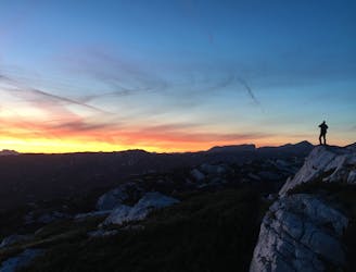
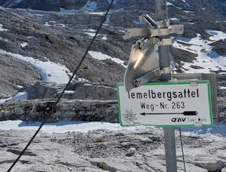
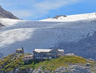
Hike to an exposed point above the Gjald Alm Hut.
Severe Hiking
- Distance
- 4.3 km
- Ascent
- 283 m
- Descent
- 283 m
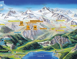
Explore Oberösterreich with curated guides of the best hiking trails, mountain bike trails, trail running routes, and more. With over 194 3D trail maps in FATMAP, you can easily discover and navigate the best trails in Oberösterreich.
No matter what your next adventure has in store, you can find a guide on FATMAP to help you plan your next epic trip.
Get a top trail recommendation in Oberösterreich from one of our 2 guidebooks, or get inspired by the 194 local adventures uploaded by the FATMAP community. Start exploring now!
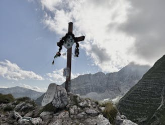
Hike to an exposed point above the Gjald Alm Hut.
Severe Hiking
3 day summer multiday-hike 14.08.2023-16.08.2023
Difficult Hiking
2 day late fall hike 27.10.2022-28.10.2022
Moderate Hiking

SCHRAKAMP DACHSTEIN TREK
Difficult Hiking

DACHSTEIN 8 Day Circular Trek
Difficult Hiking
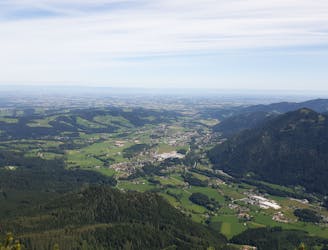
2 of upper austrias most famous peaks in 1 day
Severe Trail Running
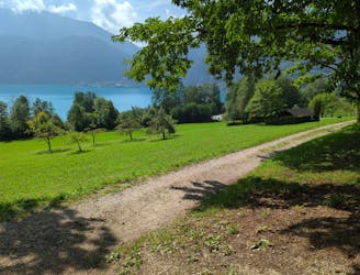
Wunderschöne Wanderung vom Attersee zum Mondsee und wieder zurück. Bademöglichkeiten in beiden Seen.
Moderate Hiking

Wanderung von Gmunden (Parkplatz Mülibankerl) auf den Grünberg.
Moderate Hiking

Losenstein - Anton Schosser Hütte - Hohe Dirn
Moderate Ski Touring

+30km Trail Run in Upper Austria
Moderate Trail Running

Salzkammergut Trophy A Strecke
Extreme Mountain Biking
Great hike near Traunsee
Easy Hiking
10km hut-to-hut hike
Moderate Hiking
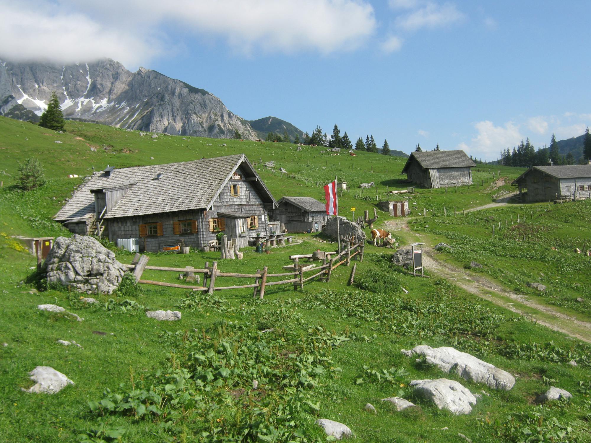
Easy hike from Gjaid Alm to Wiesberghaus and back
Easy Hiking
A more demanding hike to Wiesberghaus via Simonyhütte
Moderate Hiking
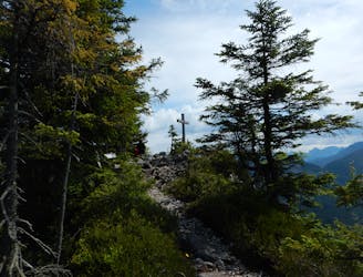
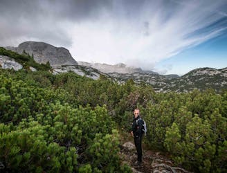
The Rathsteig is an alpine hiking trail with rope. A head for heights and sure-footedness are a must on this path. The climb also serves as a feeder to various via ferrata routes.
Difficult Alpine Climbing