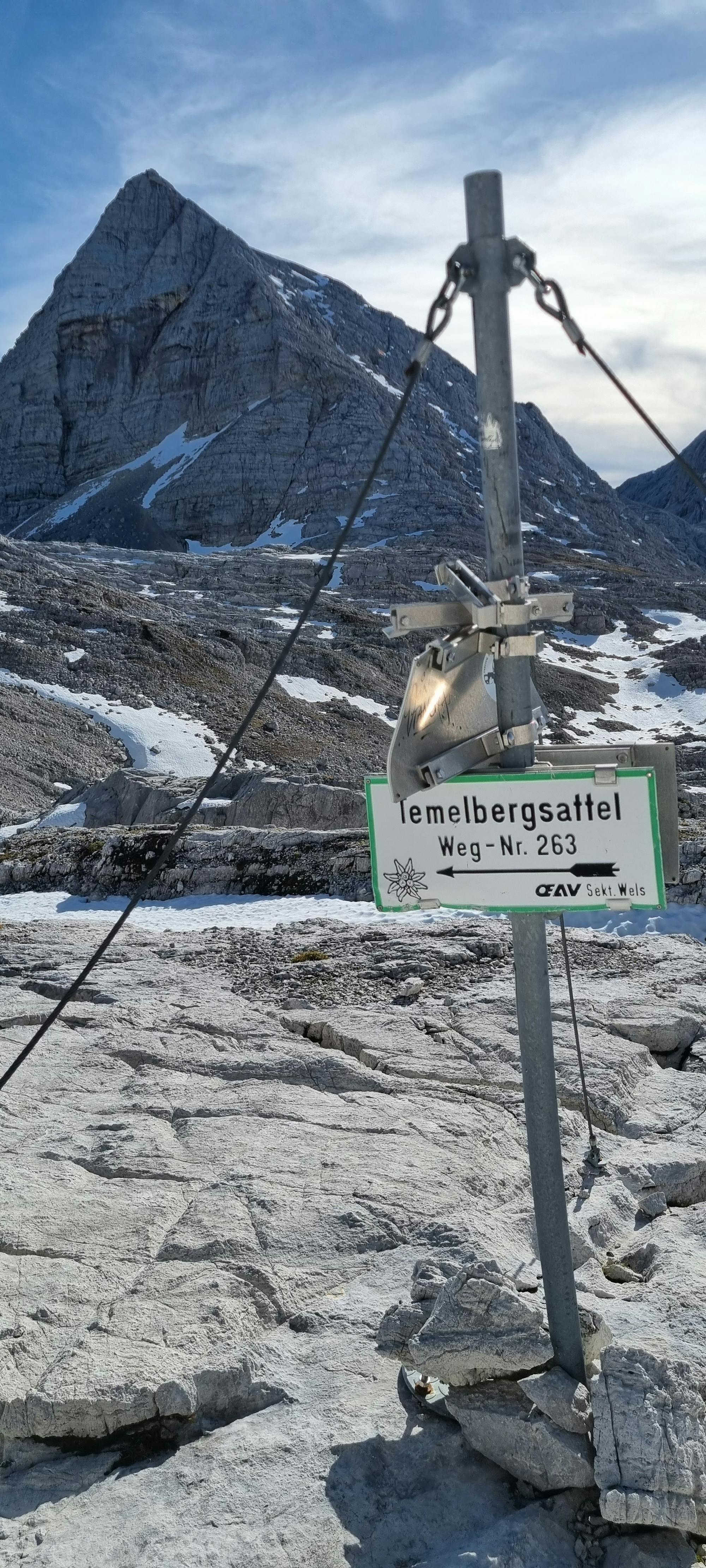
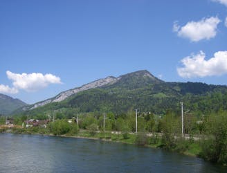
Spitzmauer>gr.Priel vole
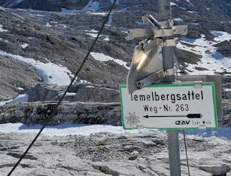
2 of upper austrias most famous peaks in 1 day
Severe Trail Running
- Distance
- 29 km
- Ascent
- 2.6 km
- Descent
- 2.6 km
Go trail running in Oberösterreich with curated guides of the best trail runs across the region. With over 194 3D trail maps in FATMAP, you can easily discover and navigate the best trails in Oberösterreich.
No matter what your next adventure has in store, you can find a guide on FATMAP to help you plan your next epic trip.
Get a top trail running recommendation in Oberösterreich from one of our 2 guidebooks, or get inspired by the 194 local adventures uploaded by the FATMAP community. Start exploring now!
2 of upper austrias most famous peaks in 1 day
Severe Trail Running

+30km Trail Run in Upper Austria
Moderate Trail Running
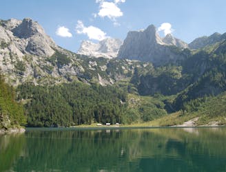
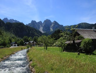
A beautiful hiking trail with the Dachstein in view.
Difficult Trail Running
Short and easy running distance and Nordic Walking distance in Bad Goisern at the Hallstättersee
Moderate Trail Running
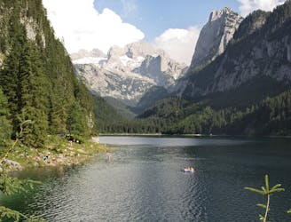
Once around the Gosausee, the path around the Gosausee is closed due to avalanche danger.
Easy Trail Running

panoramic trail
Difficult Trail Running
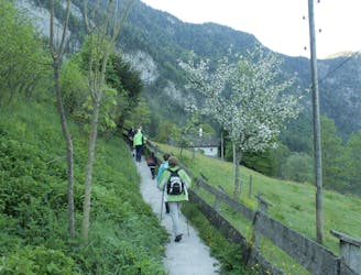
The 11 km long hiking trail around Obertraun tells of the eventful history of this landscape on 27 signposted adventure points.
Easy Trail Running
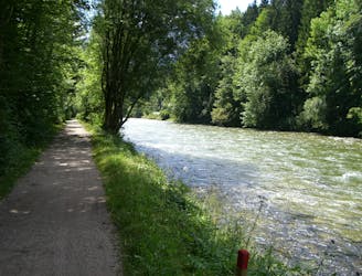
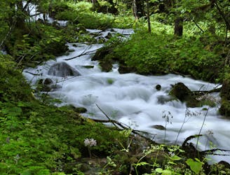
The Gosaubachweg is an easy hiking trail that is also ideal for running and Nordic walking.
Moderate Trail Running
Running course and Nordic Walking course along Lake Hallstättersee
Difficult Trail Running
The brine path is closed until further notice. You can avoid it via the Hanuschhofstraße and the Wildpfadstraße. Fantastic running course and Nordic Walking course at the Soleweg and back at the Traunuferweg.
Moderate Trail Running
A great run and walking tour through meadows and a charming natural landscape. The brine trail is closed until further notice. You can use the electrode plant street to avoid it.
Difficult Trail Running