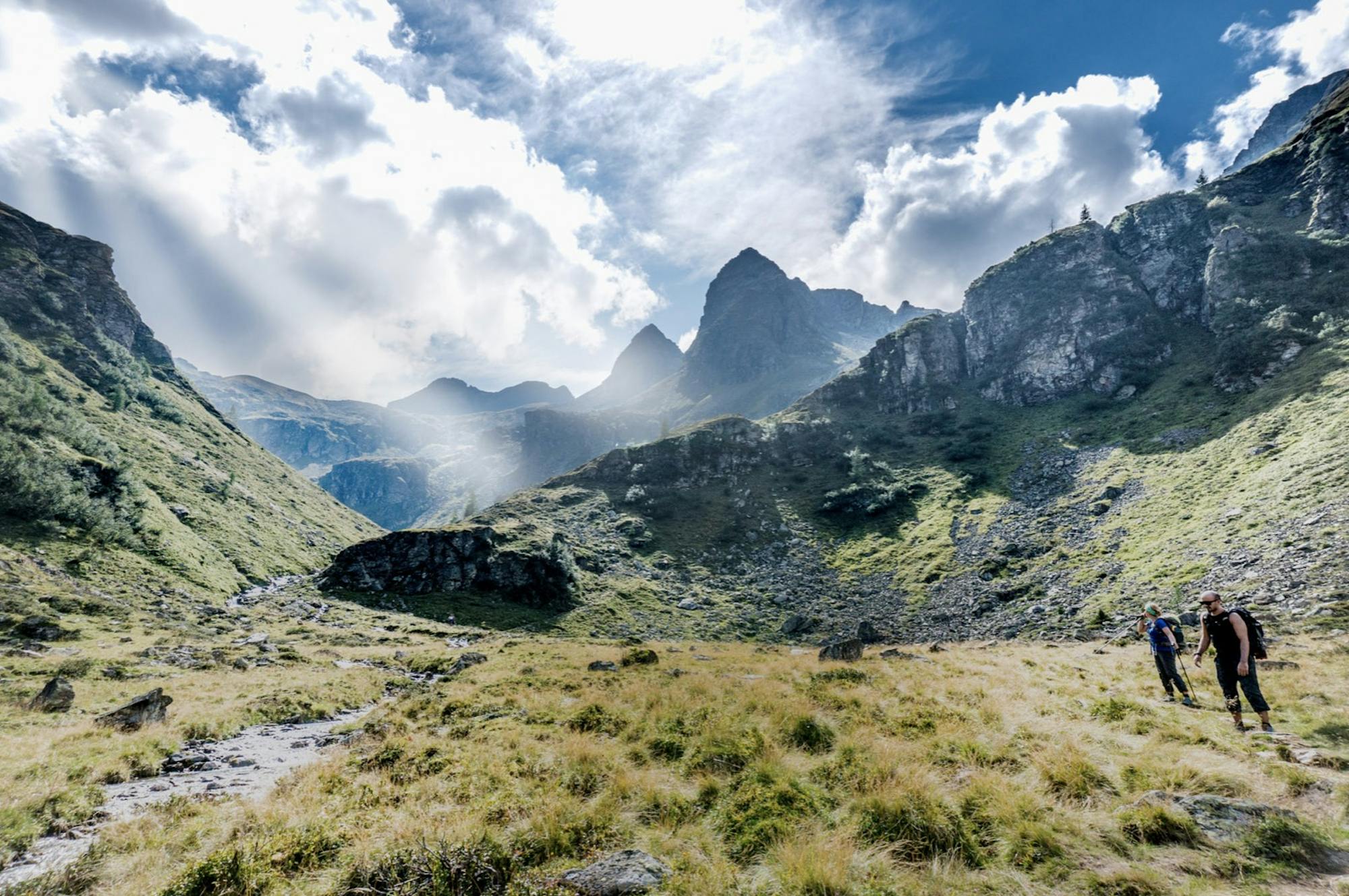
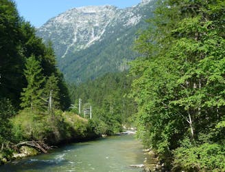
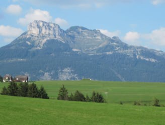
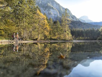
Hochschwab mountains

By Thomas Friedrich
Moderate Hiking
- Distance
- 3.1 km
- Ascent
- 637 m
- Descent
- 6 m
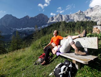
Explore Steiermark with curated guides of the best hiking trails, mountain bike trails, ski routes, and more. With over 41 3D trail maps in FATMAP, you can easily discover and navigate the best trails in Steiermark.
No matter what your next adventure has in store, you can find a guide on FATMAP to help you plan your next epic trip.
Get a top trail recommendation in Steiermark from one of our 2 guidebooks, or get inspired by the 41 local adventures uploaded by the FATMAP community. Start exploring now!
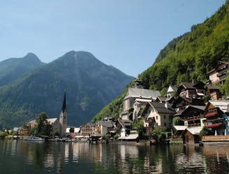
By Thomas Friedrich
Moderate Hiking
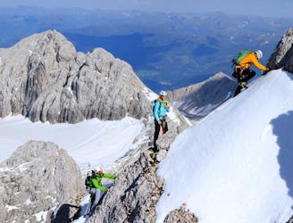
First via ferrata in the world on the Dachstein.
Moderate Alpine Climbing
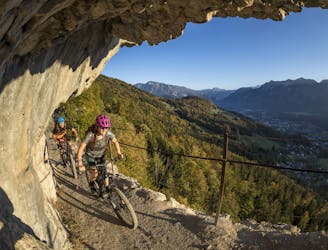
The via ferrata can only be reached via the glacier, i.e. glacier equipment is required. From the Dachstein mountain station to the Simonyscharte via the Hallstätter glacier, the entrance can be reached in approx. 45 minutes.
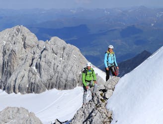
Difficult Alpine Climbing
Two-day mountain tour with overnight stay at the Adamekhütte.
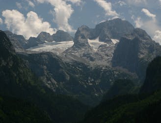
Severe Hiking
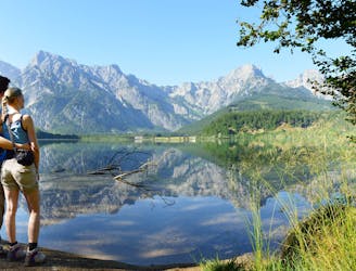
The path through the wilderness is a comfortable hiking trail through the Koppental, along the Koppentraun from Obertraun to Bad Aussee and is suitable for young and old!
Moderate Hiking
From the Steinitzenalm along the Traun and by ferry across the lake to Hallstatt.
Difficult Hiking
From Steinerhaus am Stoderzinken via Notgasse and the summit of Hochmühleck to Steinitzenalm.
Severe Hiking

From Guttenberghaus to Steinerhaus am Stoderzinken
Severe Hiking
Travel path: Albert Appel House - Wildensee - Rinnerhütte - Offensee - High path - Almsee - Ghf. Jagersimmerlh
Difficult Hiking
Guided tour: Hallstatt - by boat to the railway station - Obertraun - Koppenbrüllerhöhle - Koppenschlucht - Bad Ausseeh
Easy Hiking
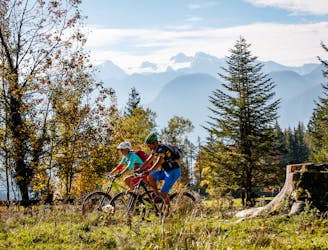
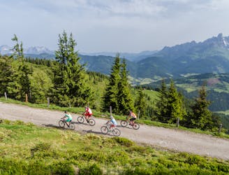
The Dachstein Circuit through three federal states around the highest mountain in Upper Austria is in itself a special highlight for mountain bikers. In the black version with the highest degree of difficulty, however, it inspires with additional single trails as a challenge for technically experienced bikers.
Extreme Mountain Biking
The tour through three federal states around the Dachstein - only one degree of difficulty harder. This additional kick is achieved by driving in the opposite direction of the blue tour. From Bad Goisern you go first to Gosau, then over the Ennstal to Ausseerland and from there back to Bad Goisern.
Severe Mountain Biking
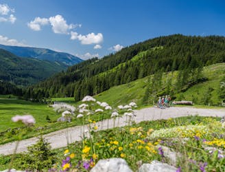
A nice and short mountain bike round, the tour in Obertraun is perfect as a supplement before or after a longer tour or simply as a fast morning or evening round. This route leads us through the fairytale Koppenwinkelsee and the Bike Arena Obertraun.
Moderate Road Biking
The Dachstein Circuit leads over 188 kilometres and 4,700 metres of altitude difference through three federal states, Upper Austria, Styria and Salzburg. The focus is on the Dachstein. The tour leads from Bad Goisern over the Ausseerland and the Ennstal to Gosau and back down to Bad Goisern.
Difficult Road Biking
DachsteinüberquerungA 25 km long route leads from the Dachstein summit region via the Simonyhütte and the Gjaidalm to Obertraun.
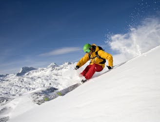
Severe Ski Touring