Rundumadum: Stages 23 and 24
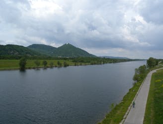
From the wine country down to the Danube, through the interface of city and nature.
Easy Hiking
- Distance
- 11 km
- Ascent
- 62 m
- Descent
- 119 m
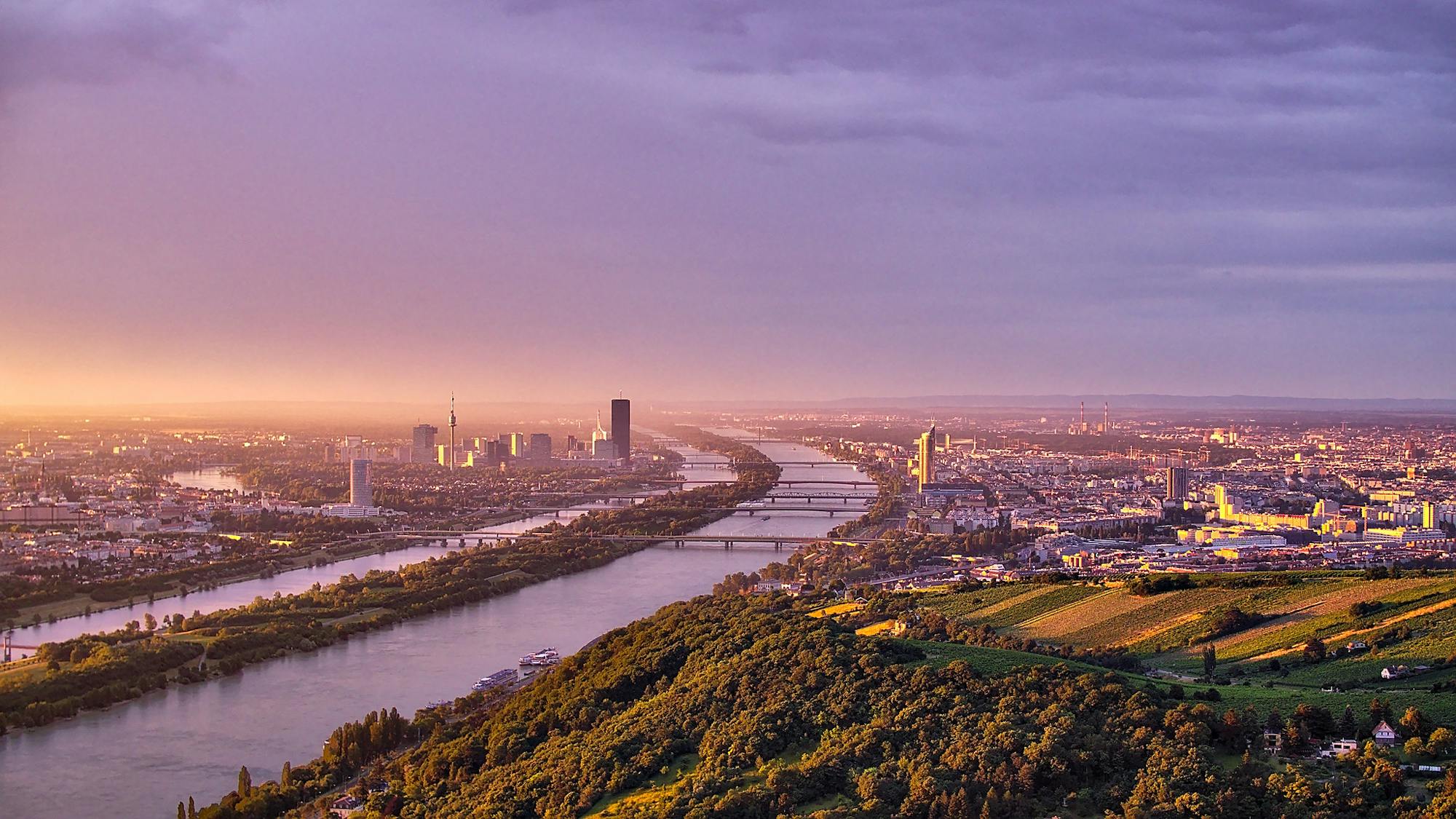
Explore Wien with curated guides of the best hiking trails, and more. With over 30 3D trail maps in FATMAP, you can easily discover and navigate the best trails in Wien.
No matter what your next adventure has in store, you can find a guide on FATMAP to help you plan your next epic trip.
Get a top trail recommendation in Wien from one of our 5 guidebooks, or get inspired by the 30 local adventures uploaded by the FATMAP community. Start exploring now!


From the wine country down to the Danube, through the interface of city and nature.
Easy Hiking
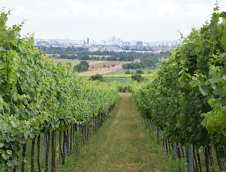
Here the Rundumadum is for wine lovers–passing between green rows of vineyards and meeting the doorstep of many traditional taverns.
Easy Hiking
A balance of suburban and rural, forest and field, land and sky, on the outskirts of Donaustadt.
Easy Hiking
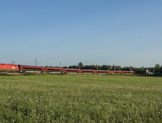
Leaving the national park, the route returns to a suburban environment, but with doses of nature in public parks and farm fields.
Easy Hiking
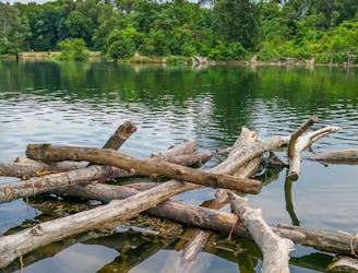
Hike through Donau-Auen National Park, experiencing Vienna’s native flora and fauna as well as wild swimming spots in the river and forest ponds.
Easy Hiking
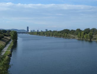
A wide variety of experiences in only a short distance walking, from one side of the Danube to the other.
Easy Hiking
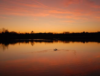
A walk through the varied environments of Favoriten and Simmering districts, which include forest parks, urban farms, the Central Cemetery, and eventually the Danube.
Easy Hiking
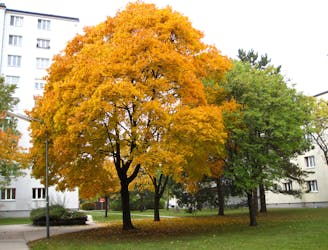
Path along the Leising waterway, linking many green parks in the city.
Easy Hiking
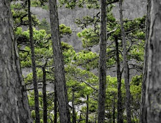
A dog-friendly route through the Maurer Wald, with a guesthouse nestled in the forest.
Easy Hiking
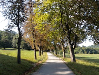
Through woods and meadows of Lainzer Tiergarten, then alongside a stream at the city outskirts.
Easy Hiking
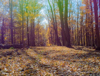
The dog-friendly alternate route to Stage 6.
Easy Hiking
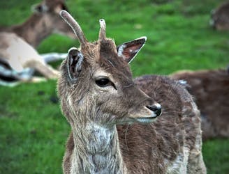
Explore the wildlife sanctuary of Lainzer, and see the palace that endures from its time as an imperial hunting ground.
Moderate Hiking
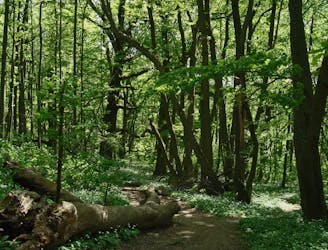
A concise loop at the edge of the Vienna Woods, with options for leisurely or challenging riding.
Moderate Mountain Biking
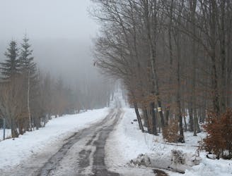
Stage 4 explores more hills in the Wienerwald, one with a lookout tower and another with an equestrian center, then Stage 5 goes through two very green recreation areas at the edge of the city.
Moderate Hiking
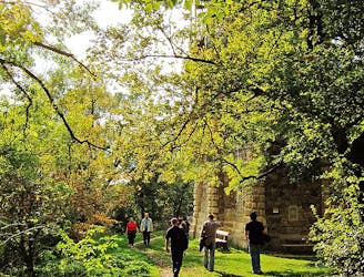
These stages climb over tall hills in the Vienna Woods, including Hermannskogel–the tallest in all of Vienna.
Moderate Hiking
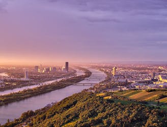
A highlight section of Vienna's "All-Around" hiking trail, climbing from the shore of the Danube to a panorama atop Leopoldsberg.
Difficult Hiking