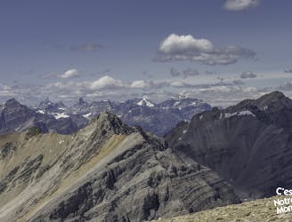
Bow Summit Triple Crown
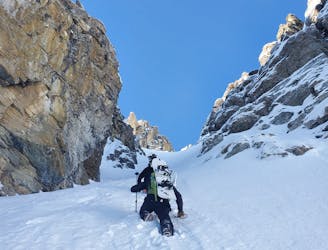
Linkup of Full South Shoulder, Flower, and Pacman Couloirs
Severe Ski Touring
- Distance
- 9.4 km
- Ascent
- 1.3 km
- Descent
- 1.3 km
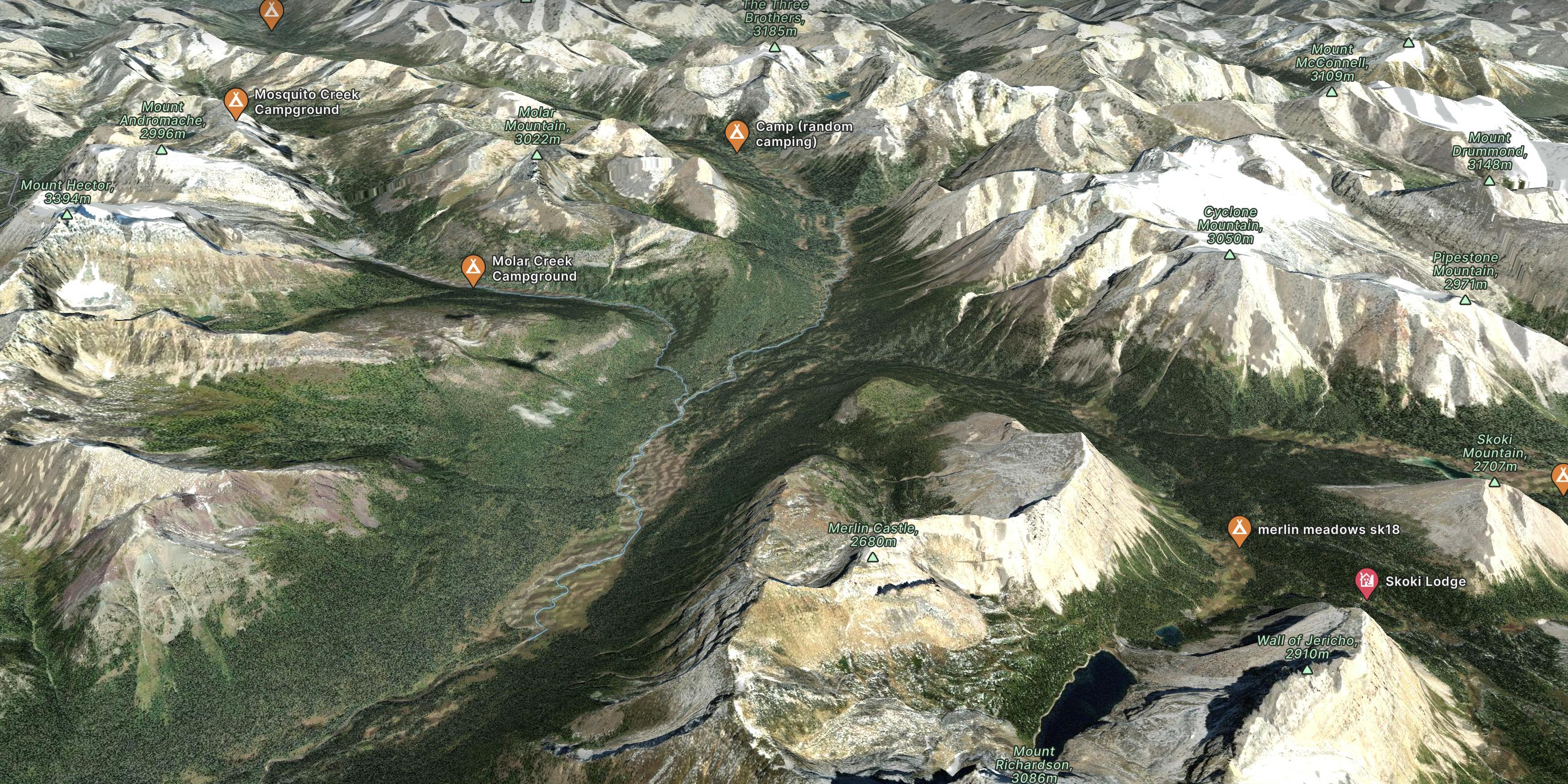
Explore Banff National Park with curated guides of the best hiking trails, ski routes, and more. With over 92 3D trail maps in FATMAP, you can easily discover and navigate the best trails in Banff National Park.
No matter what your next adventure has in store, you can find a guide on FATMAP to help you plan your next epic trip.
Get a top trail recommendation in Banff National Park from one of our 17 guidebooks, or get inspired by the 92 local adventures uploaded by the FATMAP community. Start exploring now!
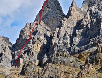
Linkup of Full South Shoulder, Flower, and Pacman Couloirs
Severe Ski Touring
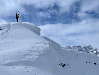
An incredible committing line in the Bow Peak skyline
Extreme Ski Touring
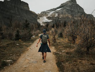
Majestic Trails and Alpine Wonders
Difficult Hiking
Mount Andromache Climbing - Ice Fields Parkway
Difficult Alpine Climbing
A scenic hike with glacier views along the way and a unique view of Lake Louise at the top.
Moderate Hiking

6 day expedition completed by a cadet group in 2023
Severe Hiking
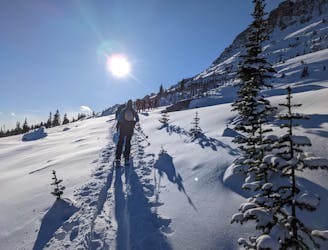
Low angle slide paths with a peek at Grand Daddy Couloir.
Easy Ski Touring
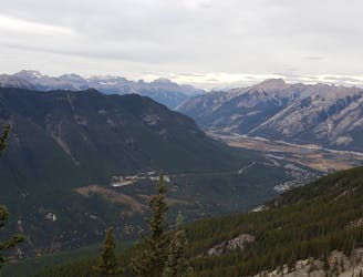
Mount Rundle, a breathtaking hike that starts in Banff
Severe Hiking

A 3 day trip in a beautiful remote area near and in Banff national Park.
Moderate Hiking
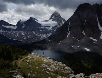
Through Hike Assiniboine
Difficult Hiking

This is great early season hike. Trail is bit narrow at the beginning and make sure you share it with mountain bikers. I still enjoyed this trail.
Easy Hiking

Jasper National Park
Easy Hiking

Easy and open terrain for XC skiing or Snowshoeing from Castle Junction to Baker Creek
Moderate Cross Country Skiing

Mellow and easy XC orSnowshoe hike through forest.
Easy Snow Shoeing

45 Minutes each way, with a short but sustained incline to reach the view point.
Moderate Snow Shoeing

Mellow and easy XC or Snowshoe hike through forest and overlooking the Bow River
Easy Snow Shoeing