Our Condolences

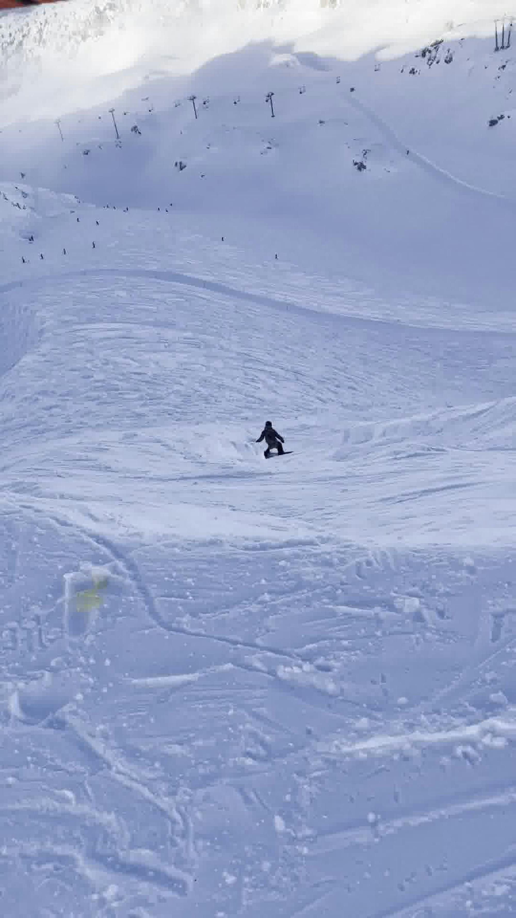
An extreme line off the summit of Sir Donalds.
Extreme Freeride Skiing
- Distance
- 3.3 km
- Ascent
- 0 m
- Descent
- 1.9 km
Go Freeride in British Columbia with curated guides of the best routes across the region. With over 1014 3D trail maps in FATMAP, you can easily discover and navigate the best routes in British Columbia.
No matter what your next adventure has in store, you can find a guide on FATMAP to help you plan your next epic trip.
Get a top Freeride recommendation in British Columbia from one of our 99 guidebooks, or get inspired by the 1014 local adventures uploaded by the FATMAP community. Start exploring now!
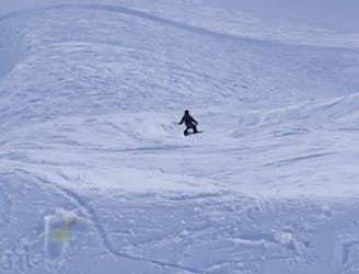
An extreme line off the summit of Sir Donalds.
Extreme Freeride Skiing

Just 1 of many possible chutes of this cornice.
Severe Freeride Skiing

A legendary line deep in the backcountry of Canada. Extremely remote but worth the pow turns
Severe Freeride Skiing

Steep trees off of West Basin
Difficult Freeride Skiing
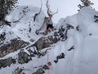
An usually icy couloir that features an extreme drop.
Severe Freeride Skiing

Bowl off the backside of mini/middle ridge.
Difficult Freeride Skiing

Great sidecountry area that ends right at the road.
Moderate Freeride Skiing

A skin track to the top of Mt. Roberts.
Severe Freeride Skiing

One of RED's gnarliest lines down the backside of Grey Mountain
Severe Freeride Skiing
Quite possibly the most insane line at Kicking Horse (not marked on trail map)
Extreme Freeride Skiing

An alternate way down Westerley
Moderate Freeride Skiing

Tight chutes accessed off of Boomerang the run.
Difficult Freeride Skiing

Difficult trees accessed off of Copper Ridge that often has great snow quality.
Severe Freeride Skiing

Fairly easy trees in the West Basin area.
Moderate Freeride Skiing

Some great trees in the powder face area.
Difficult Freeride Skiing
Great trees in between east bull and whiskey jack
Moderate Freeride Skiing