Tete du Saix - Samoens side

An open face – with a 5 minute hike out
Moderate Freeride Skiing
- Distance
- 707 m
- Ascent
- 13 m
- Descent
- 154 m
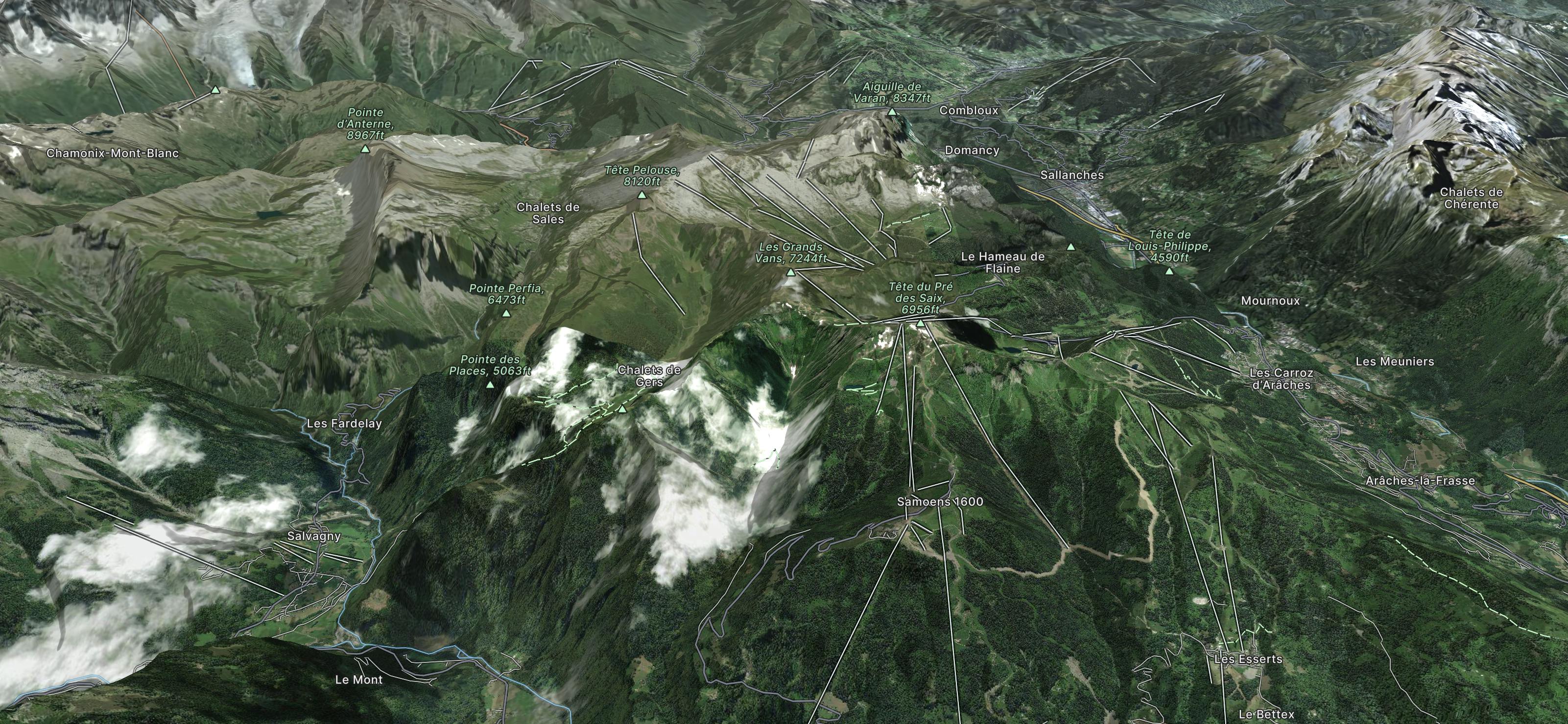
Explore Le Grand Massif with curated guides of the best hiking trails, ski routes, and more. With over 39 3D trail maps in FATMAP, you can easily discover and navigate the best trails in Le Grand Massif.
No matter what your next adventure has in store, you can find a guide on FATMAP to help you plan your next epic trip.
Get a top trail recommendation in Le Grand Massif from one of our 1 guidebooks, or get inspired by the 39 local adventures uploaded by the FATMAP community. Start exploring now!

An open face – with a 5 minute hike out
Moderate Freeride Skiing

Short and steep with varied terrain
Difficult Freeride Skiing

This is a great tree run with tight trees and is steep at the top.
Difficult Freeride Skiing

Short but fun and varied with very easy access.
Moderate Freeride Skiing

Rando et Ski-Rando de Cluses à Verclan 05/01/2024
Moderate Hiking

Au départ du Lignon boucle par le Col d'Anterne et la Brèche du Dérochoir, descente par les Chalets de Sales
Difficult Trail Running

Traversée de la Haute-Savoie et de la Savoie par l'Est, de Saint-Gingolph à Modane
Severe Hiking

Tour des Rochers des Fiz via le Col d'Anterne et le Passage du Dérochoir
Difficult Hiking
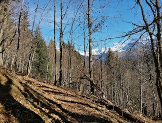
Chalet Ski Massif to Grand Cret 17 (and back)
Moderate Hiking
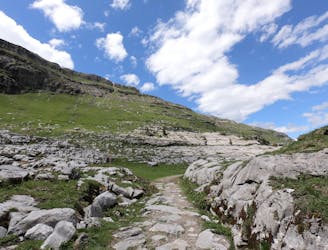
The trek back from the refuge de Sales back down to the Chalet du Lignon
Moderate Hiking

Circuit up the VTT trail and then around Club Med and back down following deer trails
Difficult Hiking
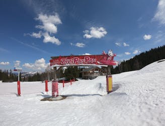
A hike down from La Luge à Téran (restaurant/bar) to Chalet Ski Massif
Difficult Hiking
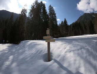
A hike (or snowshoe) up from the Car Park into the Vaconnant and back
Moderate Hiking

Alternative route back from the Car Park for the Lac du Ger to Chalet Ski-Massif
Moderate Hiking

2 hour circuit starting and finishing at Chalet Ski Massif
Moderate Hiking

Hike up from the Gers car park to the Refuge du Lac de Gers
Moderate Hiking