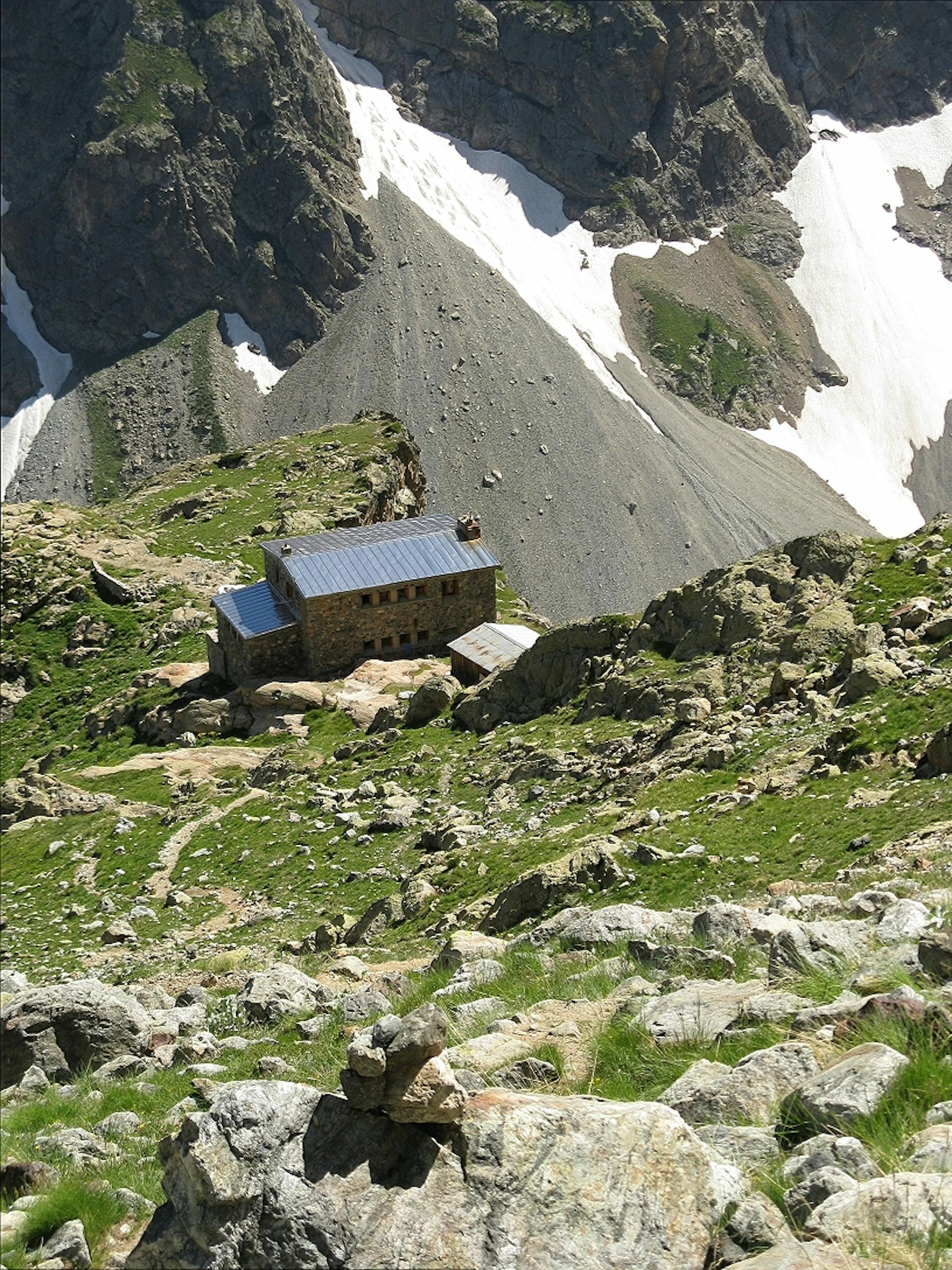
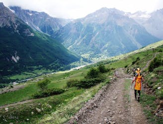
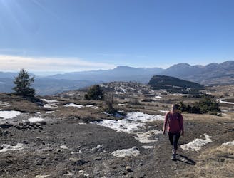
Approach to the Pelvoux Hut
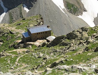
A stiff walk up a lovely valley to a high hut with great views
Difficult Hiking
- Distance
- 7.6 km
- Ascent
- 1.2 km
- Descent
- 0 m
Go hiking in Hautes-Alpes with curated guides of the best hikes across the region. With over 218 3D trail maps in FATMAP, you can easily discover and navigate the best trails in Hautes-Alpes.
No matter what your next adventure has in store, you can find a guide on FATMAP to help you plan your next epic trip.
Get a top hiking trail recommendation in Hautes-Alpes from one of our 11 guidebooks, or get inspired by the 218 local adventures uploaded by the FATMAP community. Start exploring now!
A stiff walk up a lovely valley to a high hut with great views
Difficult Hiking
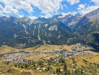
Minimal effort for huge rewards high above La Grave.
Moderate Hiking
5-day hike along the Via Alpina in the French and Italian Alps.
Difficult Hiking
Follow the Via Alpina from Savoy to the Hautes Alps.
Moderate Hiking
Balade dans la forêt et le vallon du Tabuc
Moderate Hiking
Belvédère en boucle au dessus de Monêtiers les bains
Moderate Hiking
Facile et Sympa avec pas mal de variation possible
Easy Hiking

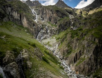
Long distance, high altitude
Extreme Hiking

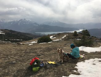
Fun river bed walk, and fantastic view on the lake!
Moderate Hiking
Nice hike for a afternoon
Easy Hiking

Very difficult route
Severe Hiking
Superb hike up to a balcony, home to two lakes with views over snow capped peaks and glaciers
Moderate Hiking

Start from Plampinet, a bit of a long walk but it is worth it
Difficult Hiking

Long easy walk, in a nice mountain country side setting
Difficult Hiking
Longue but Easy route / suitable for mountain bike but more on the the difficult side ;)
Moderate Hiking

Classic climb via the Combe d'Aurauze and descent via the very steep Combe de Mai. Fabulous route with a breathtaking panorama ...
Difficult Hiking