Rocher de l'Enfer 1

A short dynamic rock band with jumps, straight and technical lines galore – for experts only.
Severe Freeride Skiing
- Distance
- 512 m
- Ascent
- 0 m
- Descent
- 178 m
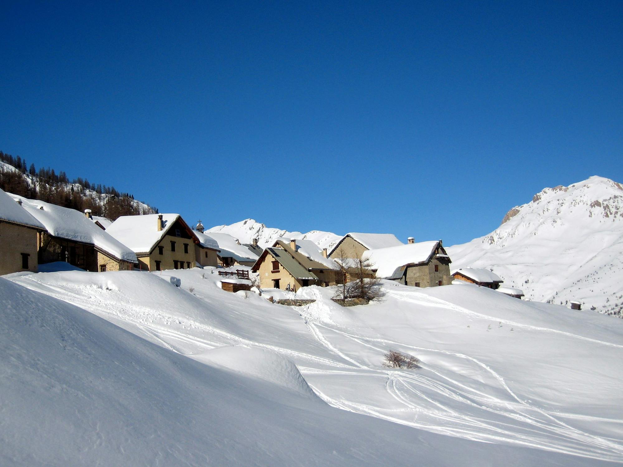
Explore Hautes-Alpes with curated guides of the best hiking trails, mountain bike trails, ski routes, and more. With over 218 3D trail maps in FATMAP, you can easily discover and navigate the best trails in Hautes-Alpes.
No matter what your next adventure has in store, you can find a guide on FATMAP to help you plan your next epic trip.
Get a top trail recommendation in Hautes-Alpes from one of our 11 guidebooks, or get inspired by the 218 local adventures uploaded by the FATMAP community. Start exploring now!
A short dynamic rock band with jumps, straight and technical lines galore – for experts only.
Severe Freeride Skiing

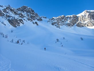
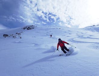
A steep, dynamic face, full of chutes and rocky ridges, that changes dramatically depending on snow levels.
Severe Freeride Skiing

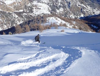
A steep, dynamic face, full of chutes and rocky ridges, that changes dramatically depending on snow levels.
Severe Freeride Skiing

A steep, dynamic face, full of chutes and rocky ridges, that changes dramatically depending on snow levels.
Severe Freeride Skiing
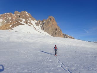
A popular line up a stunning mountain
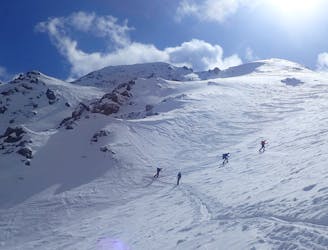
Difficult Ski Touring
A great line at the end of a stunning valley
Difficult Ski Touring
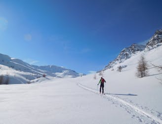
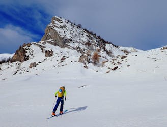
An easy ski tour which makes for a perfect starter tour.
Easy Ski Touring

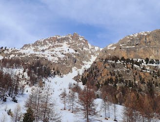
A classic line from the Ceillac ski station
Moderate Ski Touring
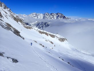
A great traverse over one of the main peaks in the valley
Severe Ski Touring
A stunning line near Puy-Saint-Vincent ski resort
Difficult Ski Touring
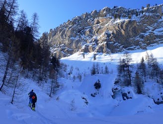
A mixed day of tracks, woods and open faces.
Moderate Ski Touring
A short tour with the use of an uplift.
Difficult Ski Touring
A classic circular route through some big peaks
Severe Ski Touring
A classic couloir in the Cerces
Severe Ski Touring
A stunning trail which leads to a great summit.
Difficult Ski Touring
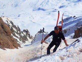
A epic couloir in a remote setting.
Severe Ski Touring