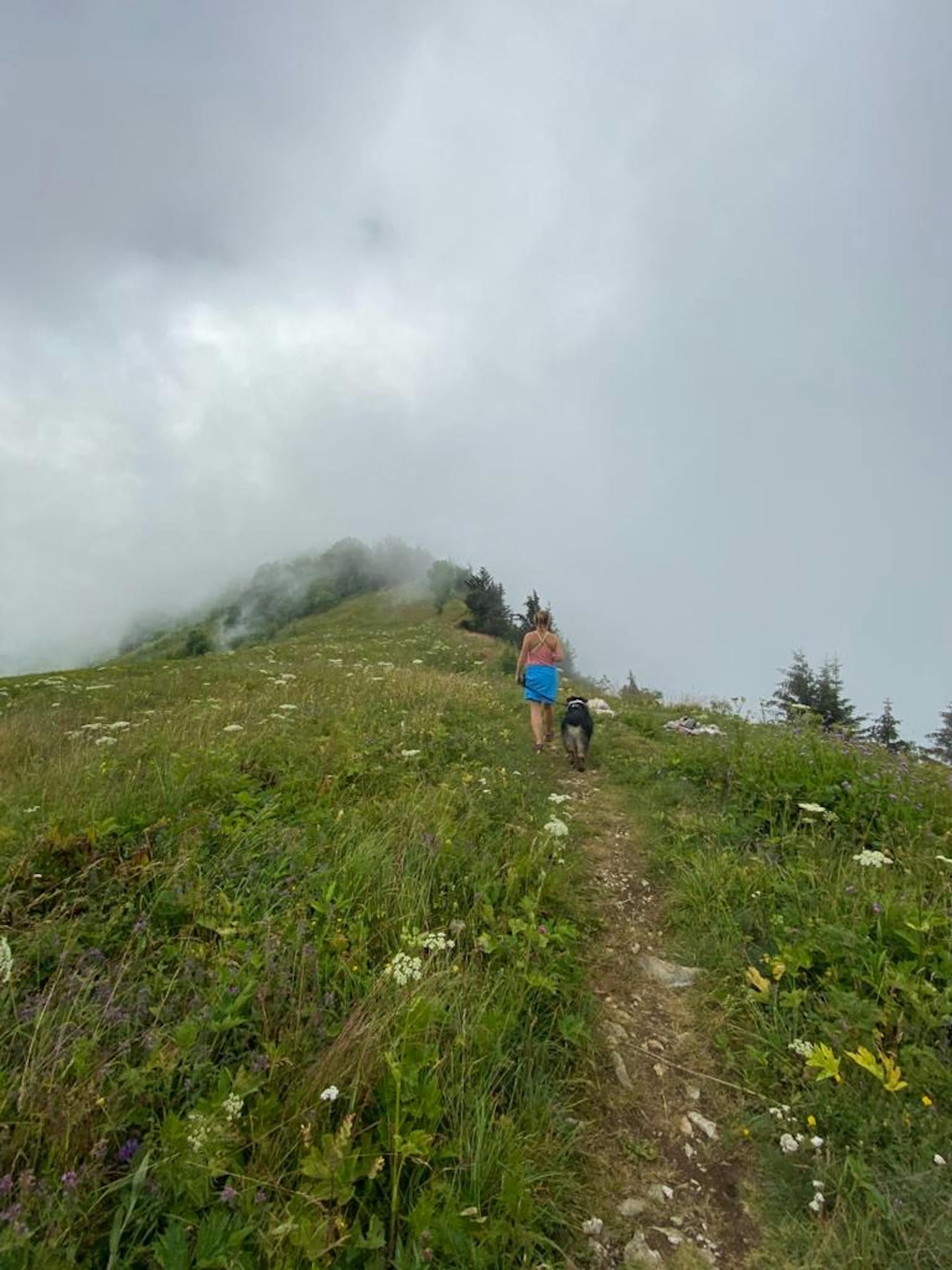
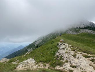
Geve to Pic Orient to Refuge le Banc de l'Ours
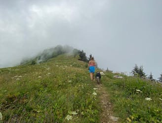
Mini summit and ridge hike with two lovely refuges
Moderate Hiking
- Distance
- 17 km
- Ascent
- 602 m
- Descent
- 602 m
Go hiking in Isère with curated guides of the best hikes across the region. With over 92 3D trail maps in FATMAP, you can easily discover and navigate the best trails in Isère.
No matter what your next adventure has in store, you can find a guide on FATMAP to help you plan your next epic trip.
Get a top hiking trail recommendation in Isère from one of our 6 guidebooks, or get inspired by the 92 local adventures uploaded by the FATMAP community. Start exploring now!
Mini summit and ridge hike with two lovely refuges
Moderate Hiking
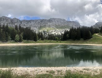
Stunning plateaus and vistas above Correncon
Moderate Hiking
Easy loop with a view around the Auberge des Aillieres
Moderate Hiking
Summit that takes in the best of the Vercors Valley
Moderate Hiking
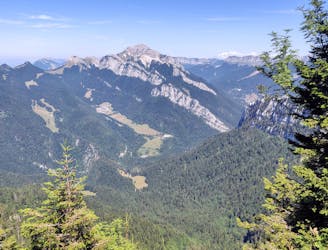
Epic balcony walk below Vercors Massif with a lake and waterfall to boot
Moderate Hiking

Beautiful hiking trip around the National Park of Les Ecrins
Difficult Hiking
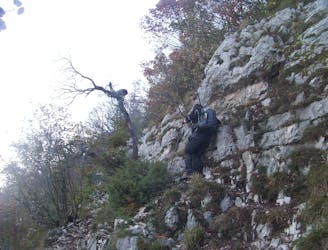
Quelques pas d'escalade agrémentent cette jolie boucle.
Severe Hiking

Superb day trip or overnight bivi at a glacial lake. 20 years ago the glacier reached the lake. No challenges on this route.
Moderate Hiking
Rather than taking the traditional up and down Charmant Som rout from the car park, why not rtake in a less travelled route around the western side to see the surroundings from a new perspective. Some scrambling required. No dogs allowed on Charmant Som during the summer.
Moderate Hiking

Easy raquette route at Chamrousse
Easy Hiking