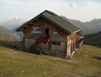
Via Alpina: Tignes Lake to Le Monal

A lovely route with lakes, a dam, traditional alpine hamlets, and beautiful views of Mount Pourri.
Moderate Hiking
- Distance
- 15 km
- Ascent
- 731 m
- Descent
- 951 m
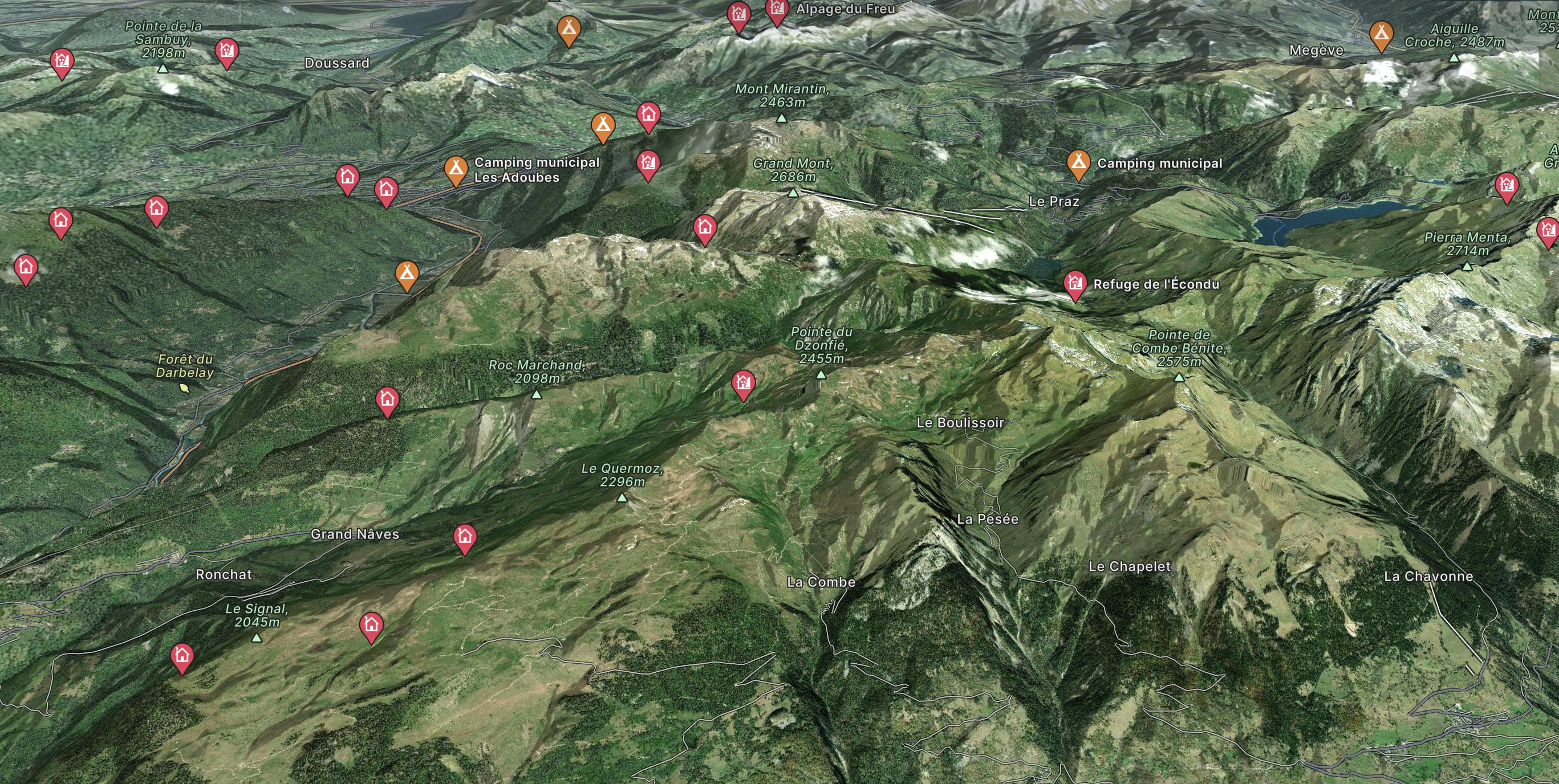
Go hiking in Albertville with curated guides of the best hikes across the region. With over 76 3D trail maps in FATMAP, you can easily discover and navigate the best trails in Albertville.
No matter what your next adventure has in store, you can find a guide on FATMAP to help you plan your next epic trip.
Get a top hiking trail recommendation in Albertville from one of our 16 guidebooks, or get inspired by the 76 local adventures uploaded by the FATMAP community. Start exploring now!
A lovely route with lakes, a dam, traditional alpine hamlets, and beautiful views of Mount Pourri.
Moderate Hiking
A straightforward route offering a multitude of alpine highlights along the way.
Moderate Hiking
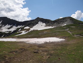
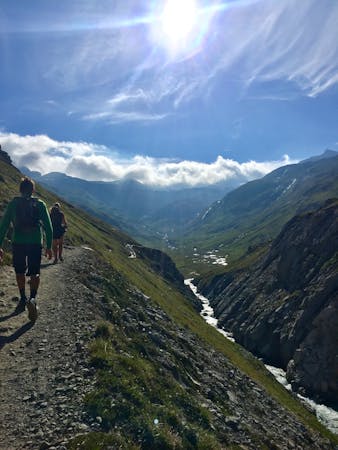
Day 4: A long day with a gradual climb and an equally gradual descent which takes you on the first border crossing of the Tour du Mont Blanc, from France to Italy via the wide and bleak-feeling Col de la Seigne.
Difficult Hiking
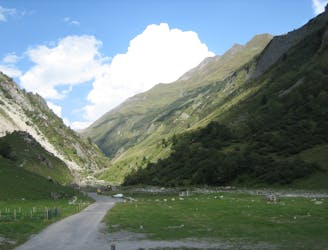
Day 3: A long and wild day which leads to one of the most peaceful little settlements in the French Alps.
Difficult Hiking

Col des Fours Variant
Difficult Hiking

Ascend to Col de la Croix du Bonhomme, then contour across to the Col du Bonhomme to Les Contamines
Difficult Hiking

Cross the Col de la Seigne back to France, descend through la Ville des Glaciers to Les Chapieux
Difficult Hiking
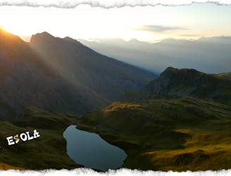
Magnifique randonnée dans le beaufortin et la haute-Tarentaise avec vue sur le massif du Mont Blanc et la cerise sur le gâteau, 5 Lacs d'origine glaciaire.
Moderate Hiking

14 routes · Hiking
8 routes · Hiking

14 routes · Hiking