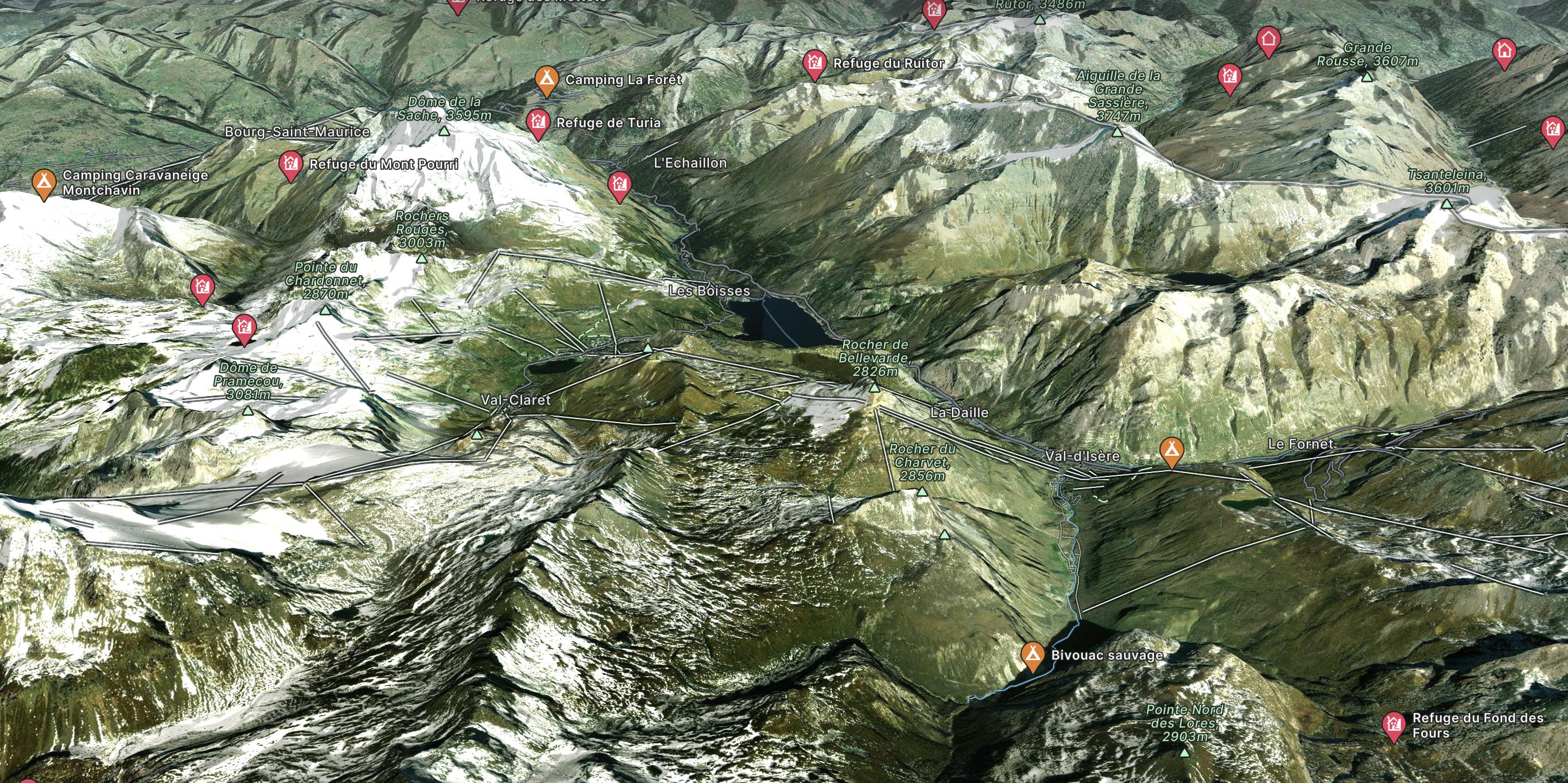
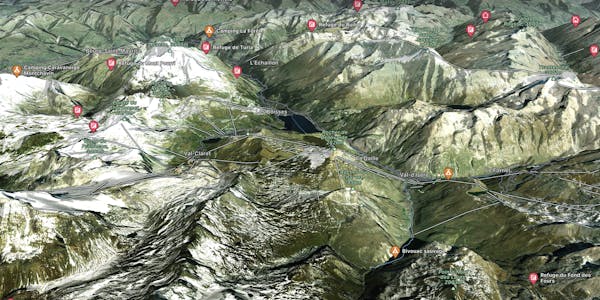
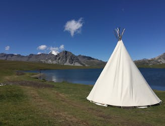
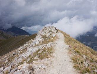
Via Alpina: Tignes Lake to Le Monal

A lovely route with lakes, a dam, traditional alpine hamlets, and beautiful views of Mount Pourri.
Moderate Hiking
- Distance
- 15 km
- Ascent
- 731 m
- Descent
- 951 m
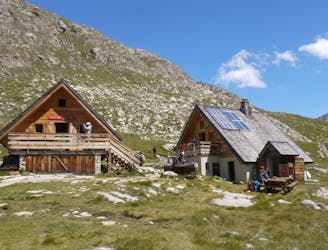
Go hiking in Espace Killy with curated guides of the best hikes across the region. With over 129 3D trail maps in FATMAP, you can easily discover and navigate the best trails in Espace Killy.
No matter what your next adventure has in store, you can find a guide on FATMAP to help you plan your next epic trip.
Get a top hiking trail recommendation in Espace Killy from one of our 11 guidebooks, or get inspired by the 129 local adventures uploaded by the FATMAP community. Start exploring now!
A lovely route with lakes, a dam, traditional alpine hamlets, and beautiful views of Mount Pourri.
Moderate Hiking
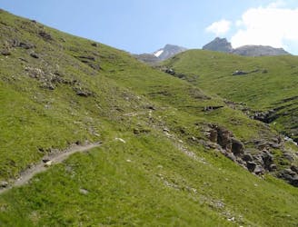
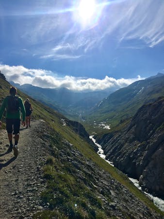
From the shores of Tignes Lake, pass two Cols on your way to the peaceful refuge below Grande Motte.
Moderate Hiking
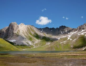
A stunning and strenuous round circuit through the Bailletaz Nature Reserve, passing above the glacial Lac de la Sassière.
Difficult Hiking
Discover Lac d'Ouillette, hidden from view from the Val d'Isere resort and onwards to a remote, rugged Col.
Moderate Hiking
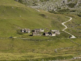
A combination of the Tignes Resort and the heart of the national park. The contrast is amazing but telling of the history of the Vanoise.
Moderate Hiking
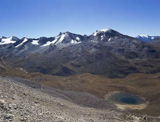
This hike towards the Col and Lake Grand Fond in Vanoise National Park offers a superb view of the glaciers, the peaks, and a beautiful lake.
Difficult Hiking
A long-distance hike with a rare landscape on arrival.
Moderate Hiking
A true alpine experience with high exposure along the Tovière ridge.
Moderate Hiking
8 routes · Hiking

14 routes · Hiking