Schattenberg (1692m)
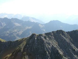
Exposed ridgeline hike with super views.
Difficult Hiking
- Distance
- 6.7 km
- Ascent
- 862 m
- Descent
- 863 m
Oberstdorf is one of Germany's top ski areas and has retained its old style charm. Loosely linked to the Voralberg area in Austria it has terrain to suit most beginners and intermediates.
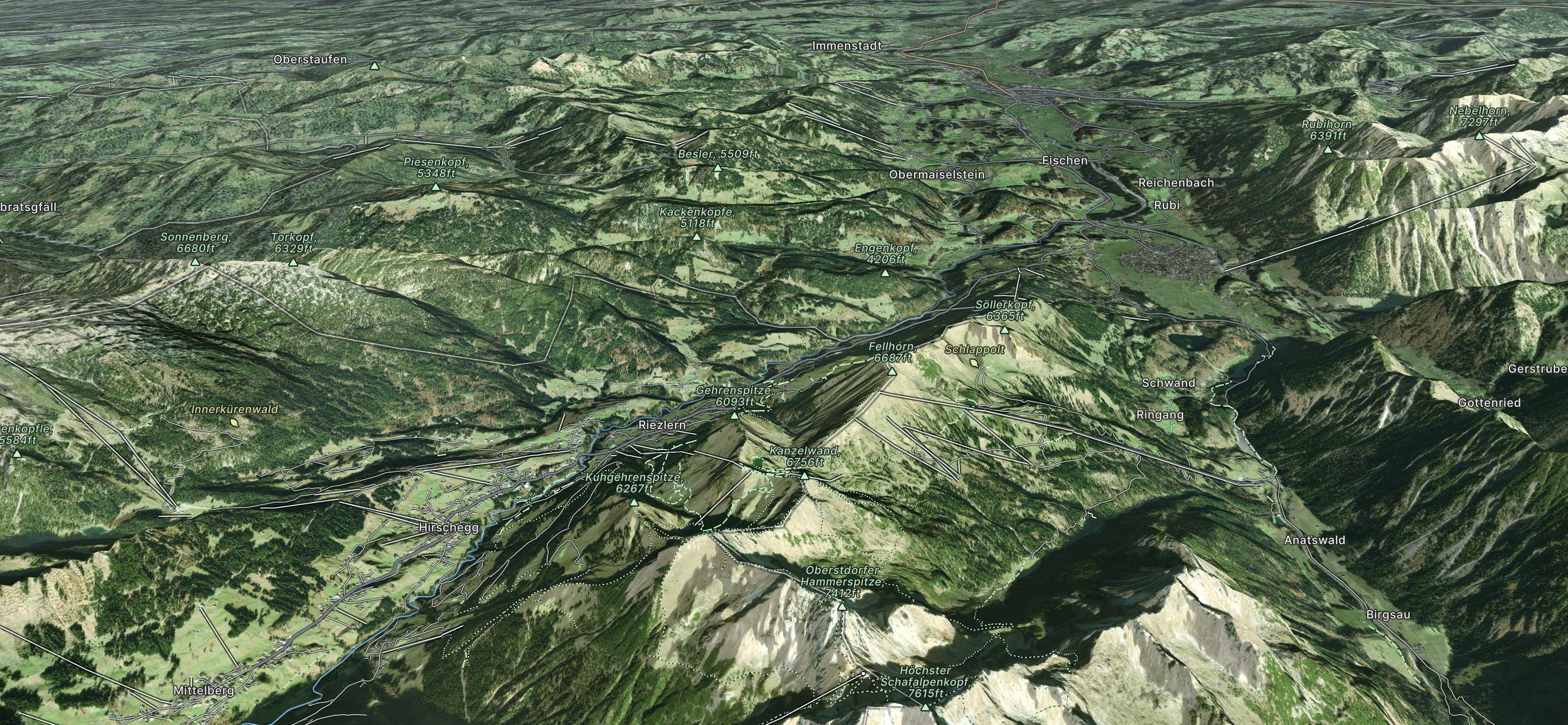
Go hiking in Kleinwalsertal with curated guides of the best hikes across the region. With over 17 3D trail maps in FATMAP, you can easily discover and navigate the best trails in Kleinwalsertal .
No matter what your next adventure has in store, you can find a guide on FATMAP to help you plan your next epic trip.
Get a top hiking trail recommendation in Kleinwalsertal , or get inspired by the 17 local adventures uploaded by the FATMAP community. Start exploring now!
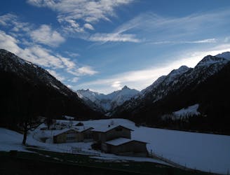
Also in Vorarlberg, Austria
Exposed ridgeline hike with super views.
Difficult Hiking
Parkplatz Renksteg to Bergbauerndorf Gerstruben
Easy Hiking