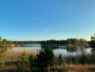
Potsdam to Saarmund Across the Ravensberg Hills
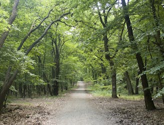
Explore the famous Telegrafenberg region and climb Potsdam's highest mound.
Difficult Hiking
- Distance
- 14 km
- Ascent
- 220 m
- Descent
- 218 m
Go hiking in Brandenburg with curated guides of the best hikes across the region. With over 10 3D trail maps in FATMAP, you can easily discover and navigate the best trails in Brandenburg.
No matter what your next adventure has in store, you can find a guide on FATMAP to help you plan your next epic trip.
Get a top hiking trail recommendation in Brandenburg from one of our 3 guidebooks, or get inspired by the 10 local adventures uploaded by the FATMAP community. Start exploring now!
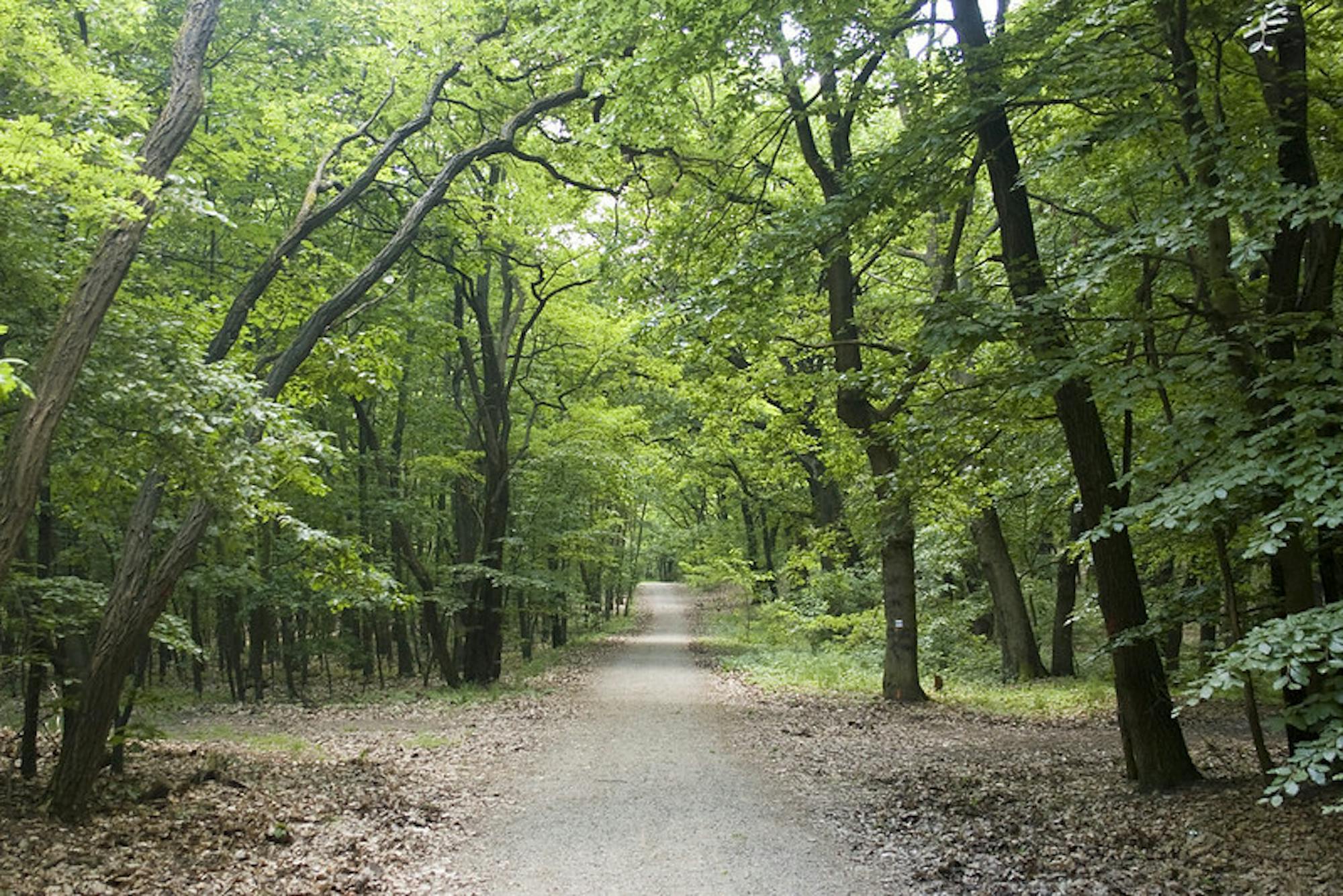
Explore the famous Telegrafenberg region and climb Potsdam's highest mound.
Difficult Hiking
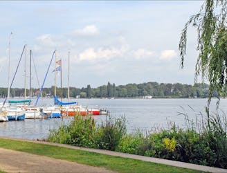
Explore the Wannsee area by foot on a 4-5 hour hike through forests, across rivers, and next to the Großer Wannsee lake.
Moderate Hiking
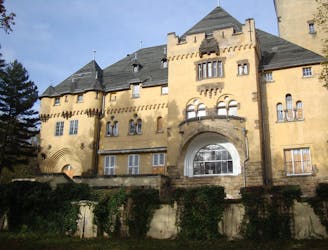
An easygoing walk in the countryside around the historic border town Kleinmachnow.
Easy Hiking
Walk around a series of lakes in a charming Medieval town not far from Berlin.
Easy Hiking
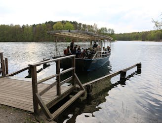
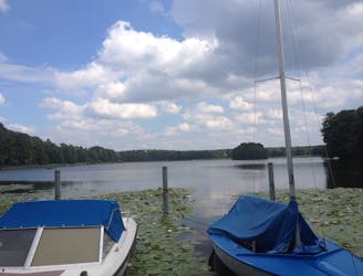
An easy, half day hike around a beautiful lake with an option to ferry across to the island
Easy Hiking
Take your time for peaceful and calm walk in Wannsee
Moderate Hiking
A family friendly short hike around the Gorinsee.
Easy Hiking
An easy, family friendly hike from Mühle Tornow around a quiet lake
Easy Hiking
6 routes · Gravel Biking · Hiking
5 routes · Hiking