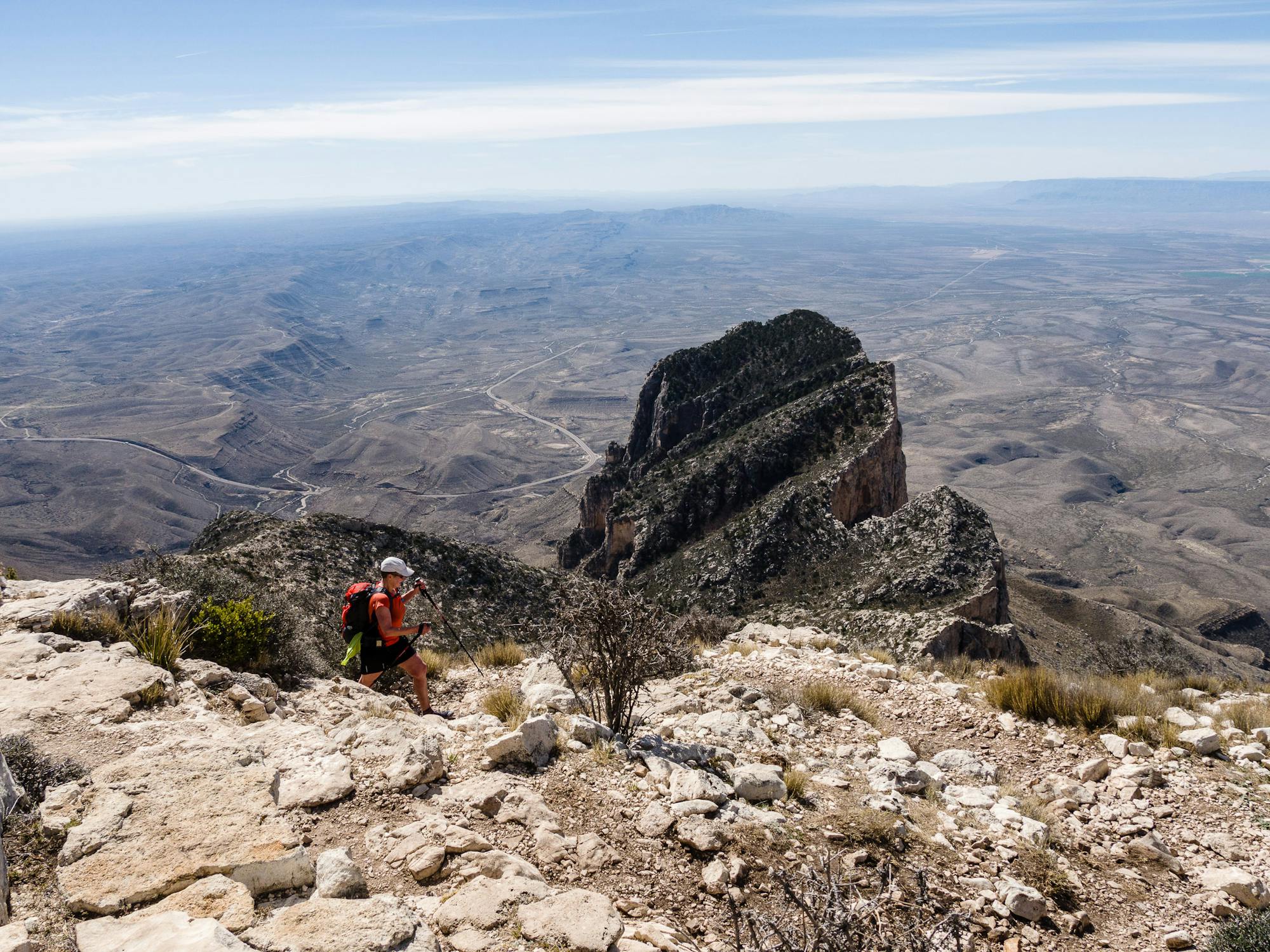
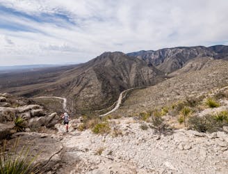
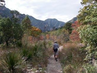
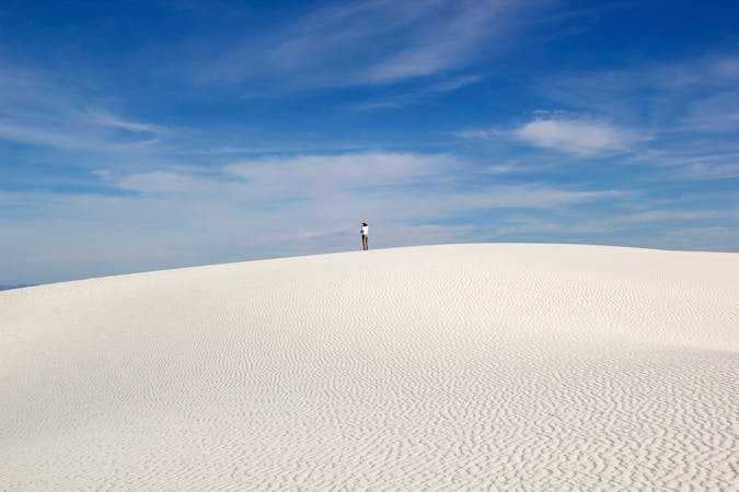
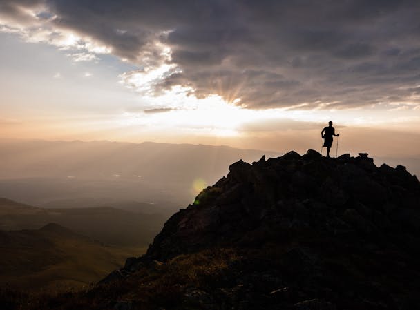
Guadalupe Peak
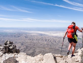
Hike to the highest point in Texas!
Difficult Hiking
- Distance
- 13 km
- Ascent
- 926 m
- Descent
- 926 m
From desert ranches and historic mail stops to high mountain peaks and stunning vertical-walled canyons, these are the 10 must-do hikes in Guadalupe Mountains National Park.
Hiking Easy, Moderate, Difficult
Also in Texas, United States of America
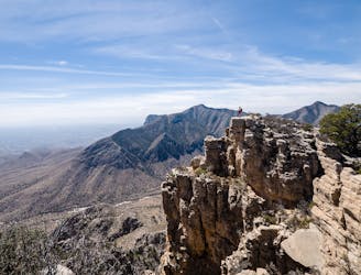
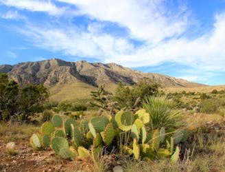
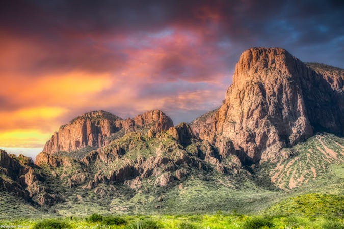
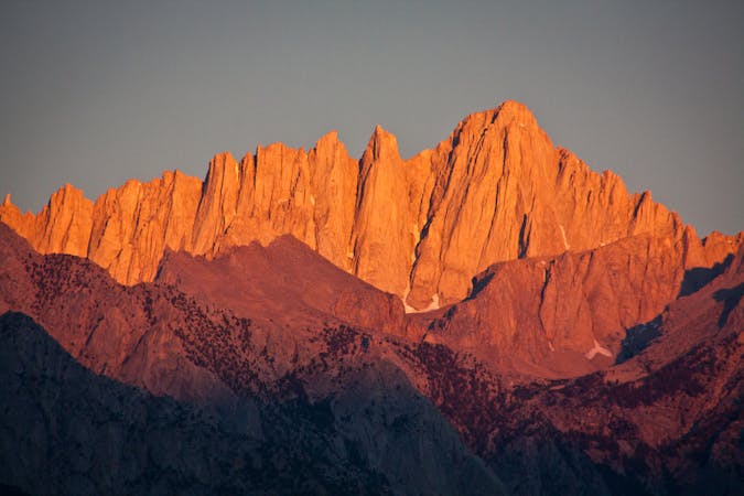
Guadalupe Mountains National Park is one of only two official National Parks in Texas, though there are several other areas and landmarks that are maintained by the National Park Service. Similar to Big Bend National Park, the Guadalupe Mountains are a desert oasis full of surprises. Comprising over 86,000 acres and 85 miles of trail, the park protects historic ranches and cabins, showcases a variety of desert wildlife and ecology, and hosts Texas’s highest point – Guadalupe Peak, towering over the landscape at 8,750 feet!
If you are up for the challenge, the hike to Guadalupe Peak tops this list of classics. Though it also stands as one of the more popular hikes in the park, the 9-mile round trip trek offers plenty of space for other trail users to spread out. According to the Andersons, “the only real interactions happen when passing, being passed, and on the actual summit.” To enjoy a relatively quiet day on the trail, they suggest hiking on a weekday in the off-season and not on a holiday weekend.
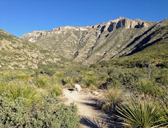
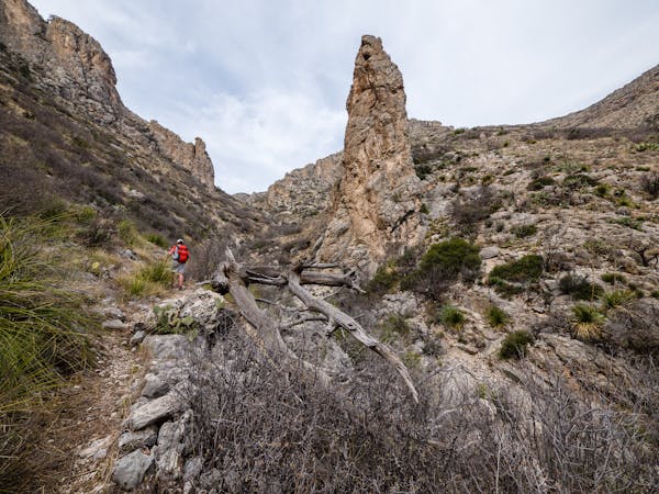
Whether you are planning to summit the highest peak or simply looking for a short walk, Pine Springs Campground and the adjacent Park Headquarters offer plenty of hiking options. Hike the Hunter Peak Loop, a “stunningly-beautiful 11-mile loop” to the summit of Hunter Peak at 8,368’ – or make your way up to the Devil’s Hall, a less challenging hike into a stunning vertical-walled canyon accessed by a natural boulder staircase. For a short and fully-accessible hike, the Pinery Trail offers visitors a glimpse into life at a historic mail stop on the original Butterfield Overland Mail Route. According to the NPS, "The Pinery Station has the distinction of being the only remaining station ruin standing close to a major thoroughfare—only 200 yards off U.S. 62/180, which generally follows the original Butterfield route through Guadalupe Pass." The Pinery is also the only dog-friendly hike in the park.
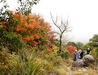
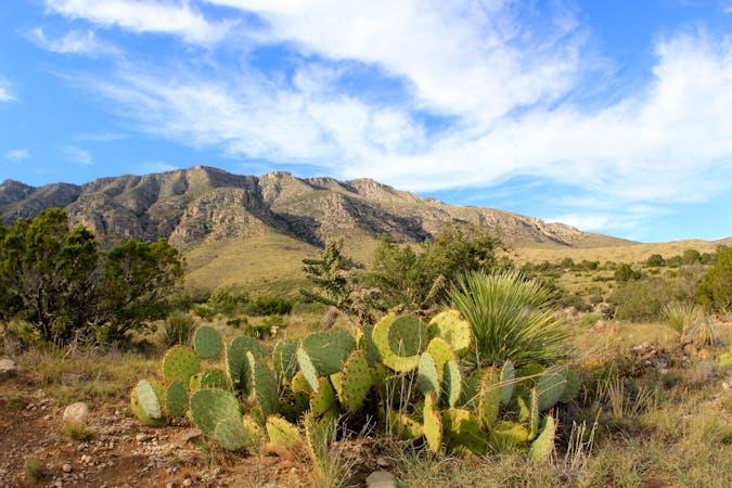
In addition to The Pinery Trail, Indian Meadow Nature Trail, McKittrick Canyon Nature Trail, and Smith Springs are three short hikes that should absolutely make your list. Trailside exhibits often highlight the native plants and wildlife, not to mention the “natural and cultural” history encompassing the Guadalupe Mountains, Permian Basin, and greater Chihuahua Desert.
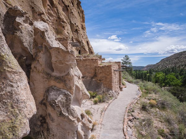
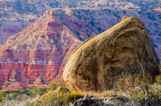
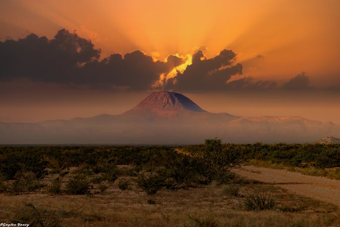
Along with Pine Springs, the McKittrick Canyon Trailhead offers a diverse selection of day hikes plus this epic overnight to the McKittrick Ridge Backcountry Campground. As mapped, the destination for this route is a campground on the ridge, but be sure to obtain the appropriate backcountry camping permits before you hit the trail. Other day trip destinations include the historic Pratt Cabin (4.8 miles round-trip), Grotto (6.8 miles round-trip), and Notch (9.9 miles round-trip). If you’re a geology buff, the Andersons suggest Permian Reef Trail, a challenging hike that rewards spectacular views and 28 numbered signs that correspond to geological features in this trail guide.
Resting at 6,280 feet, the Dog Canyon Campground is located along the northernmost reaches of the park. It tends to remain cooler than Pine Springs and offers shelter “from strong, gusty winds in winter and spring.” The quaint campground hosts 9 tent sites plus 4 RV sites and offers both water and restrooms. For a short and easy stroll from the campground, the aforementioned Indian Meadow Nature Trail offers visitors the opportunity to “discover the plants and animals of a meadow in the secluded north section of the park.” Despite its name, dogs are not allowed on the trail but are permitted in areas “accessed by vehicles, including established roadsides, parking areas, frontcountry picnic areas, and frontcountry picnic areas.”
Sources: https://www.nps.gov/gumo/index.htm https://en.wikipedia.org/wiki/GuadalupeMountainsNationalPark
Hike to the highest point in Texas!
Difficult Hiking
A stunningly-beautiful 11-mile loop with a summit of 8,368' Hunter Peak.
Difficult Hiking
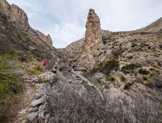
A backcountry hike up a narrow canyon.
Moderate Hiking
An absolutely stunning hike high above McKittrick Canyon.
Difficult Hiking
A must-do hike into a narrow canyon confined by steep vertical walls.
Moderate Hiking
A short hike through a desert oasis with two stunning springs, a riparian woodland, and plenty of wildlife.
Moderate Hiking
A short hike highlighting local wildlife, plants, and geology.
Moderate Hiking
An out-and-back hike on the McKittrick Canyon Trail to "The Notch," a stunning overlook.
Difficult Hiking

An easy, short walk from the Dog Canyon Campground where you can "discover the plants and animals of a meadow in the secluded north section of the park."
Easy Hiking
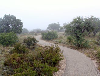
A paved and fully-accessible trail to the ruins of a stop along a historic mail route.
Easy Hiking
6 routes · Hiking
5 routes · Mountain Biking · Hiking · Trail Running
5 routes · Hiking
12 routes · Hiking
4 routes · Hiking
4 routes · Hiking

17 routes · Hiking · Trail Running
5 routes · Alpine Climbing · Hiking
10 routes · Alpine Climbing · Hiking
7 routes · Hiking