Helgafell throught the stone arch
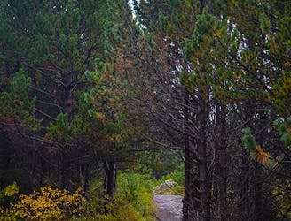
A loop up the mountain Helgafell
Difficult Hiking
- Distance
- 8.3 km
- Ascent
- 394 m
- Descent
- 396 m
Explore Höfuðborgarsvæði with curated guides of the best routes. With over 3 3D trail maps in FATMAP, you can easily discover and navigate the best trails in Höfuðborgarsvæði.
No matter what your next adventure has in store, you can find a guide on FATMAP to help you plan your next epic trip.
Get a top trail recommendation in Höfuðborgarsvæði, or get inspired by the 3 local adventures uploaded by the FATMAP community. Start exploring now!
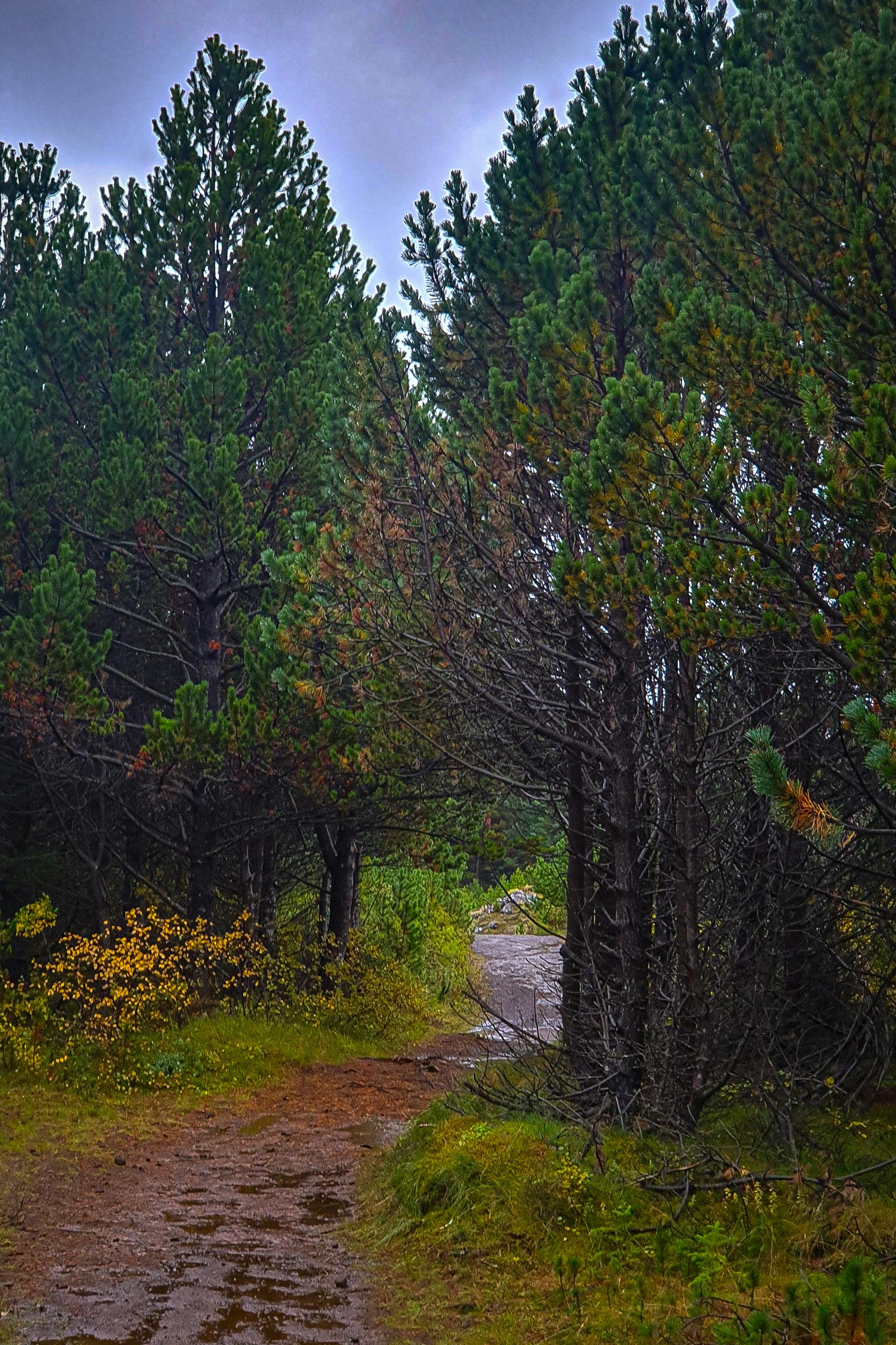
A loop up the mountain Helgafell
Difficult Hiking

Reykjavik to Vík í Mýrdal (Gullfoss Version)
Easy Driving 4x4

A 720km running route
Extreme Trail Running