Bike to retreat

Road Biking
- Distance
- 136 km
- Ascent
- 4.1 km
- Descent
- 2.9 km

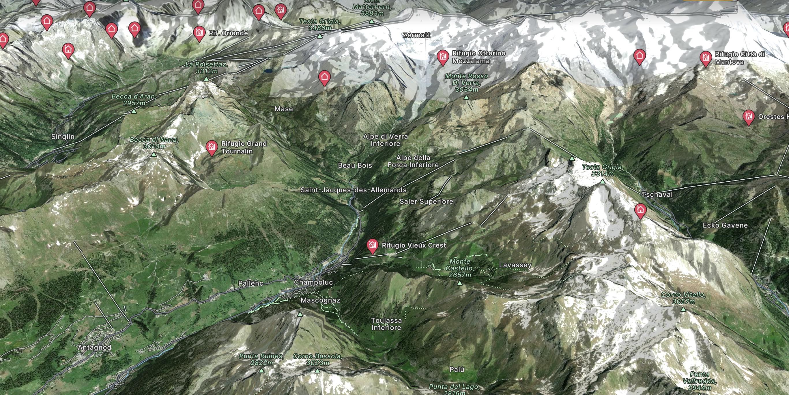
Explore Champoluc with curated guides of the best ski routes, and more. With over 24 3D trail maps in FATMAP, you can easily discover and navigate the best trails in Champoluc.
No matter what your next adventure has in store, you can find a guide on FATMAP to help you plan your next epic trip.
Get a top trail recommendation in Champoluc from one of our 2 guidebooks, or get inspired by the 24 local adventures uploaded by the FATMAP community. Start exploring now!


Road Biking

Da Frachey al Rif. Quintino Sella, si scende Alpe di Verra Superiore, si risale al Rif. delle quide di Ayas. Passando per il Rif. O.Mezzalama. Si riscende verso il Lago Blù , Pian di Verra Inferiore. Si sale al Rif. Ferrario, per scendere a valle al parcheggio.
Extreme Hiking

Classic ski touring with magnificent views from Gressoney to Champoluc.
Moderate Ski Touring

perfect 360 view on the whole Monte Rosa!
Difficult Ski Touring

This needs quite an effort on the uphill but you'll be well rewarded on the downhill!!
Moderate Ski Touring

initiation into steep skiing?
Difficult Ski Touring

ideal for free touring beginners!
Easy Ski Touring

A line close to the pistes
Easy Freeride Skiing