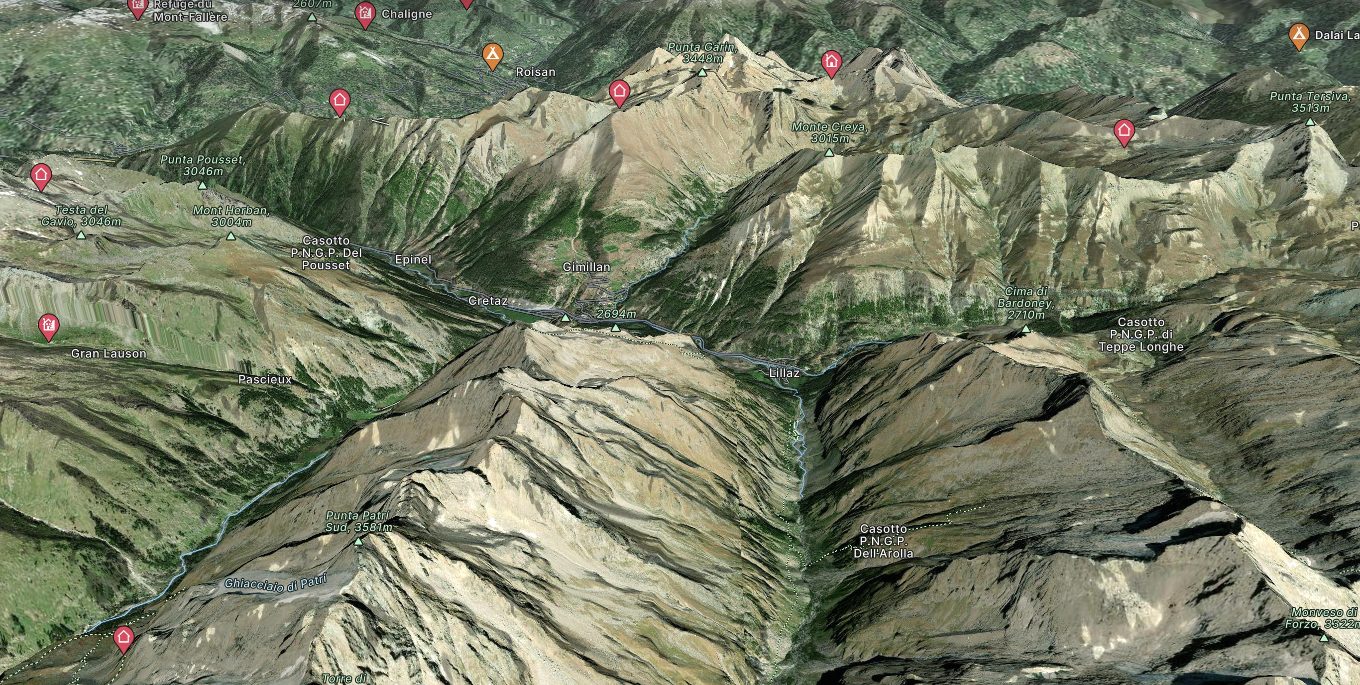
Valnontey to Vittorio Sella Refuge

Valnontey to Vittorio Sella Refuge
Difficult Hiking
- Distance
- 11 km
- Ascent
- 897 m
- Descent
- 897 m
Go hiking in Cogne with curated guides of the best hikes across the region. With over 18 3D trail maps in FATMAP, you can easily discover and navigate the best trails in Cogne.
No matter what your next adventure has in store, you can find a guide on FATMAP to help you plan your next epic trip.
Get a top hiking trail recommendation in Cogne from one of our 1 guidebooks, or get inspired by the 18 local adventures uploaded by the FATMAP community. Start exploring now!
Valnontey to Vittorio Sella Refuge
Difficult Hiking
A balcony walk towards the Gran Paradiso in a beautiful national park.
Moderate Hiking
easy route to Pousset peak, summer edition.
Moderate Hiking

Trekking di tre giorni attraverso i valloni del Grauson, della Laures, dell'Arbolle e dall'Arpisson
Severe Hiking