ALTA VIA 1 TREK - STAGE 1 - LAGO DI BRAIES TO RIFUGIO FODARA VEDLA

STAGE 1 - SEPT. 4th Private room at Fodara Vedla HB
Difficult Hiking
- Distance
- 11 km
- Ascent
- 975 m
- Descent
- 502 m
Go hiking in Bozen with curated guides of the best hikes across the region. With over 171 3D trail maps in FATMAP, you can easily discover and navigate the best trails in Bozen.
No matter what your next adventure has in store, you can find a guide on FATMAP to help you plan your next epic trip.
Get a top hiking trail recommendation in Bozen from one of our 23 guidebooks, or get inspired by the 171 local adventures uploaded by the FATMAP community. Start exploring now!
STAGE 1 - SEPT. 4th Private room at Fodara Vedla HB
Difficult Hiking

ALTA VIA 1 DOLOMITES - STAGE 2 SEPT. 5th
Moderate Hiking

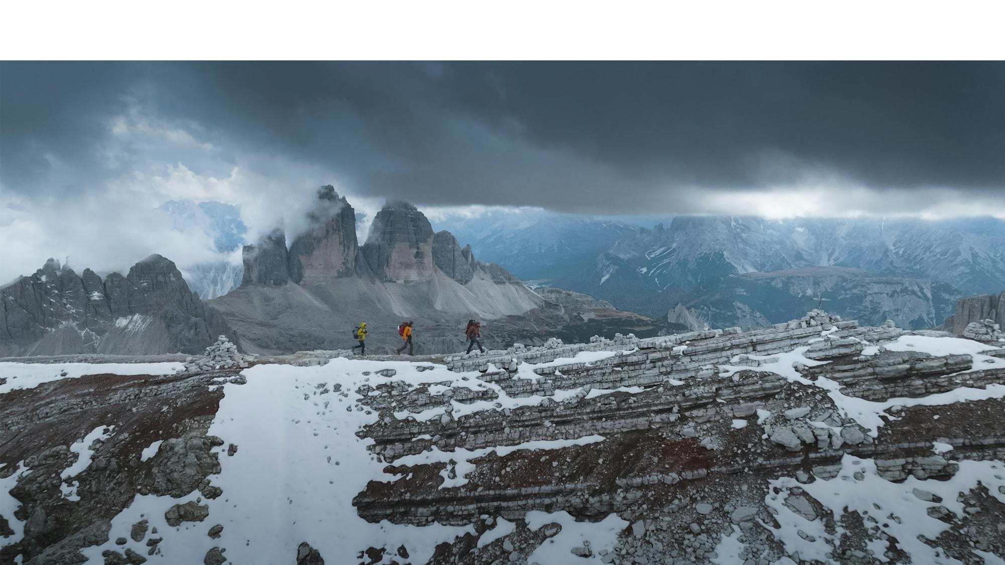
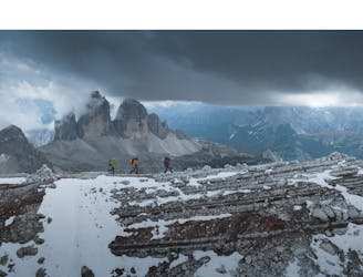
ALTA VIA 1 SEPT. 4th STAGE 1
Difficult Hiking
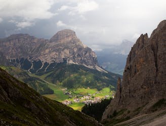
Amazing Viewpoint over Dolomites
Difficult Hiking
Rewarding hike to one of the peaks of Sella Group
Difficult Hiking

AV2 Alta Via delle Dolomiti n.2 (with a twist towards Cadore after stage 7 - From Rosetta to Pelmo, San Vito, forcella piccola Antelao, Calalzo)
Difficult Hiking

Verschiedene Stationen laden ein, spielerisch alles rund um die Haflinger Pferde zu entdecken.
Easy Hiking
This route, destinated to be an educational essay, is an example of how a group of visitors would experience the mountains of Lavaredo through a hike enriched by narrations that link the physical landscape with its ecology, geology, historical and cultural aspects.
Moderate Hiking

Percorso ad anello che include la famosa passeggiata Tappeiner di Merano
Easy Hiking

E5_M.ga Pfandler-Hirzer Hutte
Moderate Hiking

E5_Moso in Passiria-M.ga Pfandler
Moderate Hiking

E5_Zwieselstein-Moso_in_Passiria
Moderate Hiking

Escursione ad anello dalla cima del Dantercepies fino ai piedi della funivia.
Severe Hiking

Percorso che attraversa le Alpi di Siusi fino ad arrivare alle pendici del Sassolungo fino a Santa Caterina
Easy Hiking

Leichter Spaziergang vom Hotel über den Römerweg in Kiens
Easy Hiking

Vom Hotel Pustertalerhof auf zum Liensberg bis zum Höchstpunkt Irenberg. Von da aus zum Issinger Weiher, vorbei bei der Latschenölbrennerei wieder zurück zum Hotel.
Moderate Hiking