Colle Maurin
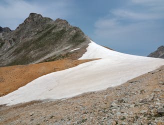
Colle Maurin da Campo Base Chiappera (Acceglio, Valle Maira), con rientro dai laghi Roure
Moderate Hiking
- Distance
- 26 km
- Ascent
- 1.6 km
- Descent
- 1.6 km
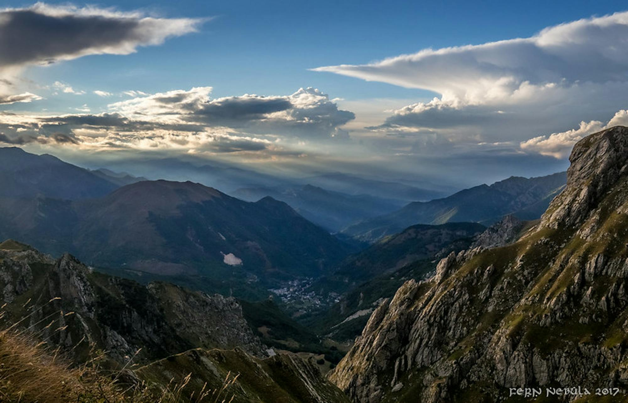
Explore Cuneo with curated guides of the best hiking trails, ski routes, and more. With over 124 3D trail maps in FATMAP, you can easily discover and navigate the best trails in Cuneo.
No matter what your next adventure has in store, you can find a guide on FATMAP to help you plan your next epic trip.
Get a top trail recommendation in Cuneo from one of our 4 guidebooks, or get inspired by the 124 local adventures uploaded by the FATMAP community. Start exploring now!


Colle Maurin da Campo Base Chiappera (Acceglio, Valle Maira), con rientro dai laghi Roure
Moderate Hiking
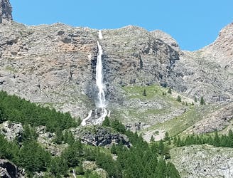
da Campo Base Chiappera a Colle Infernetto (Accegglio, Valle Maira)
Moderate Hiking

Over the Alps MAritime with border crossing to Italy
Difficult Hiking

Traverse of the French Alps oin opposite direction
Difficult Hiking

Trekking over the French Alps from the Geneva Lake to Mediterrian
Difficult Hiking

A steep tree line with a tricky entrance
Difficult Freeride Skiing
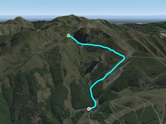
A long traverse is followed by a beautiful open slope and a tree line.
Difficult Freeride Skiing

Take the Pancani chairlift and reach the top. Enter the evident valley under the Becco Rosso. The first part offers a moderately steep couloir slope and then gives way to clearings and woods.
Difficult Freeride Skiing
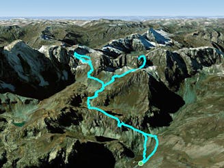
dangerous in winter, great in summer
Severe Hiking
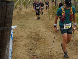
Trail tecnico tra i vigneti delle Langhe
Moderate Trail Running

Arete Sigismondi ridge climb
Moderate Alpine Climbing

Anello che passa dal santuario della madonna di Navonera sulla via dei cannoni fino a cima Robert
Moderate Hiking

Il rifugio Ervedo Zanotti è situato sulla destra orografica della valle Stura su un belvedere del vallone del Piz (sud-ovest di Pietraporzio) ai margini delle rocce Mongioie ed a poca distanza dalla punta Zanotti (2734 m). Essendo sul percorso GTA P27 è un punto tappa per trekker.
Moderate Hiking

giro della collina di Cossano
Moderate Trail Running
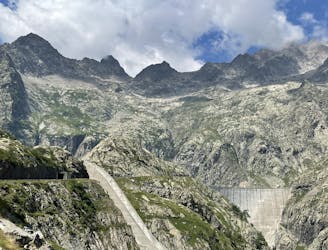
Un viaggio tra le opere ardite della natura e dell'uomo
Moderate Hiking
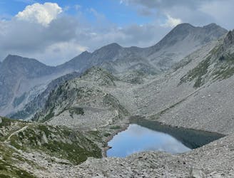
Pascoli verdi e paesaggi lunari
Moderate Hiking