2 routes
Explore Pistoia with curated guides of the best routes. With over 5 3D trail maps in FATMAP, you can easily discover and navigate the best trails in Pistoia.
No matter what your next adventure has in store, you can find a guide on FATMAP to help you plan your next epic trip.
Get a top trail recommendation in Pistoia, or get inspired by the 5 local adventures uploaded by the FATMAP community. Start exploring now!
2 routes

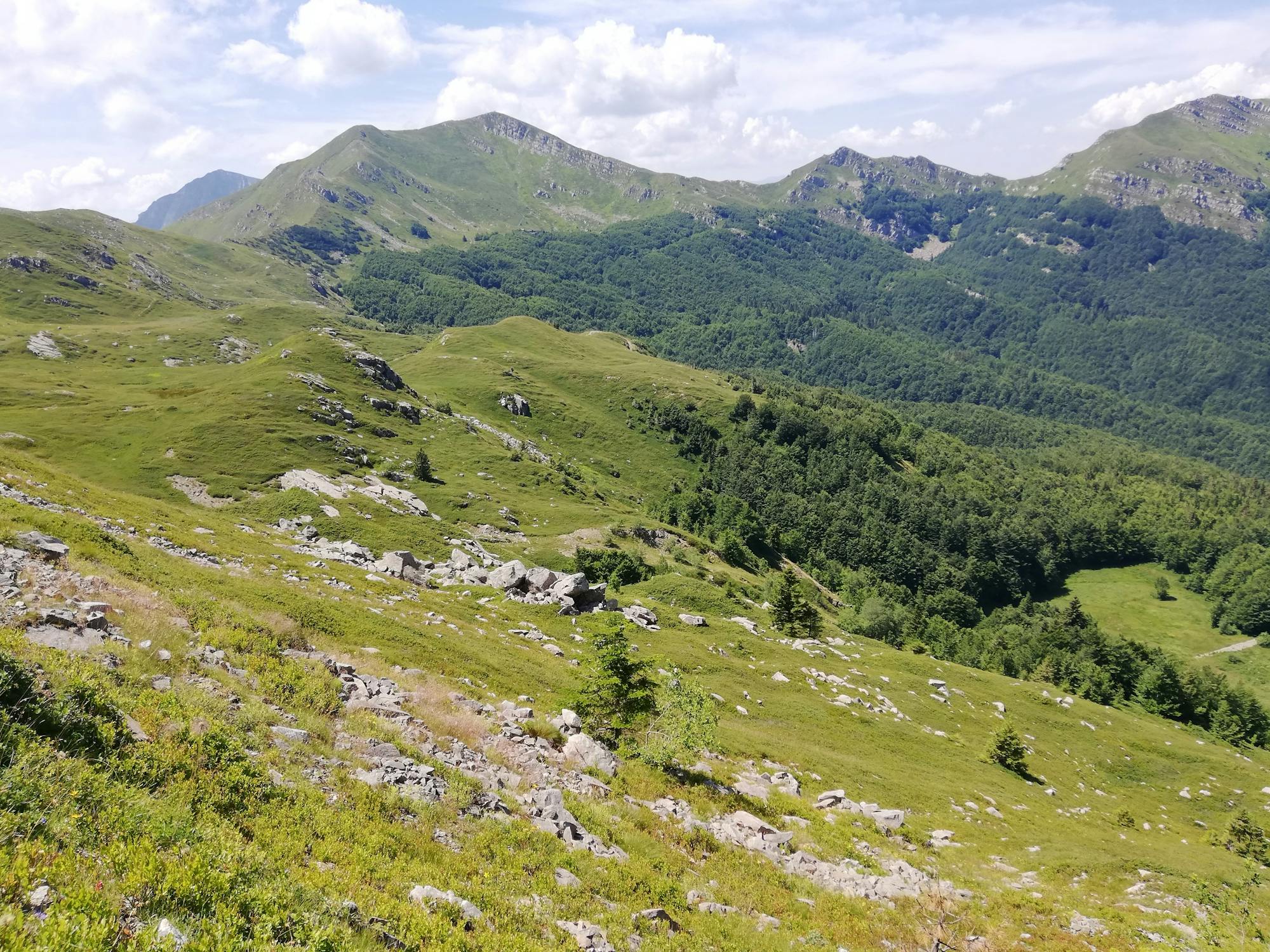
Hike from Abetone to Libro Aperto
Moderate Hiking

Snow-shoe loop from Abetone to Casetta di Lapo
Easy Snow Shoeing

Anello Val di Luce-foce a giovo-Val sestaione-Regine-Abetone
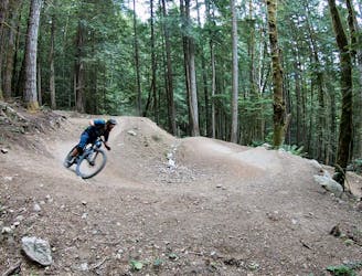
Difficult Mountain Biking

Collina-Baita del Termine-Collina(Inverno-Neve)
Moderate Hiking
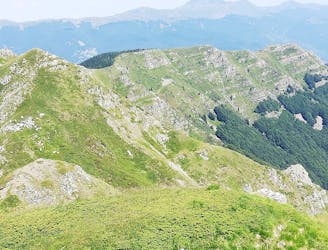
A trail on the old ski resort
Moderate Hiking