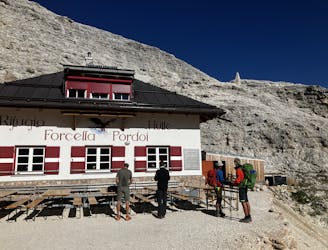
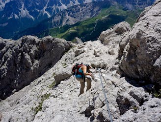
Alta Via 2 - Rifugio Boe to Rifugio Viel dal Pan
A good day of hiking with an incredible viewpoint!
Severe Hiking
- Distance
- 7.9 km
- Ascent
- 418 m
- Descent
- 860 m
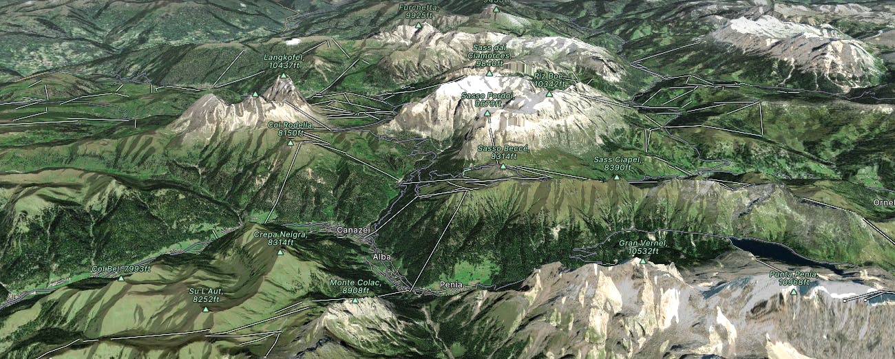
Go hiking in Canazei-Belvedere with curated guides of the best hikes across the region. With over 20 3D trail maps in FATMAP, you can easily discover and navigate the best trails in Canazei-Belvedere.
No matter what your next adventure has in store, you can find a guide on FATMAP to help you plan your next epic trip.
Get a top hiking trail recommendation in Canazei-Belvedere from one of our 9 guidebooks, or get inspired by the 20 local adventures uploaded by the FATMAP community. Start exploring now!
A good day of hiking with an incredible viewpoint!
Severe Hiking
Traverse the Dolomites from west to east along this popular high altitude trail.
Severe Hiking
The strenuous “Way of the Legends” high altitude hiking trail across the Dolomites.
Difficult Hiking

Trekking in quota di 4 giorni, da rifugio a rifugio.
Difficult Hiking

10 routes · Hiking

11 routes · Hiking