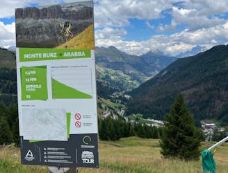
Passo Sella, Paravis and Family Line
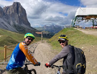
A long and low angled rollercoaster ride
Difficult Mountain Biking
- Distance
- 14 km
- Ascent
- 79 m
- Descent
- 901 m
Explore Trento with curated guides of the best hiking trails, mountain bike trails, trail running routes, ski routes, and more. With over 179 3D trail maps in FATMAP, you can easily discover and navigate the best trails in Trento.
No matter what your next adventure has in store, you can find a guide on FATMAP to help you plan your next epic trip.
Get a top trail recommendation in Trento from one of our 15 guidebooks, or get inspired by the 179 local adventures uploaded by the FATMAP community. Start exploring now!
A long and low angled rollercoaster ride
Difficult Mountain Biking
An exceptional and tough descent down to a bustling town
Severe Mountain Biking
Breathtaking scenery and a bumpy trail make this a great mini adventure
Difficult Mountain Biking
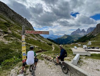
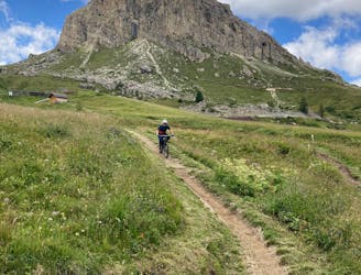
The big one! The longest lift-free section of the Sella Ronda is wild and beautiful.
Difficult Mountain Biking
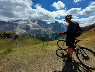
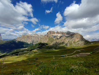
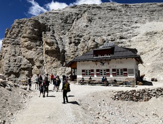
Exceptional trail riding plus great views and some excellent rifugios en route
Difficult Mountain Biking
A long and beautiful journey down to a charming village
Difficult Mountain Biking

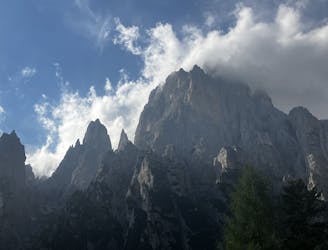
A never-ending section of the AV2!
Severe Hiking
Prepare the mind, body and soul for 1300m of descent!
Extreme Hiking
A moderately hard day with some tiresome ascents and steep descents!
Extreme Hiking
A shorter day on the AV2 but options to explore!
Severe Hiking
Another long day out on the AV2 trail!
Severe Hiking
A big day for those chasing another vertical via ferrata!
Extreme Hiking
A good day of hiking with an incredible viewpoint!
Severe Hiking
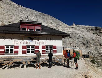
A shorter day for those heading to Rifugio Boe and Piz Boe summit. A mega day for those wanting some vertical action!
Extreme Hiking
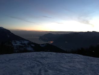
An unusual skitouring experience!
Easy Ski Touring
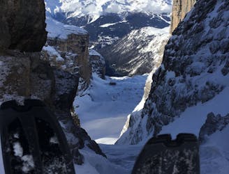
A short tour in the Brenta Dolomites.
Moderate Ski Touring