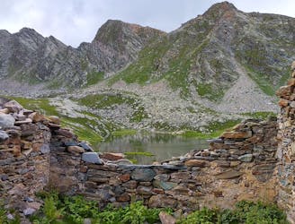
Allevard-Monviso

Long distance, high altitude
Extreme Hiking
- Distance
- 253 km
- Ascent
- 16 km
- Descent
- 16 km
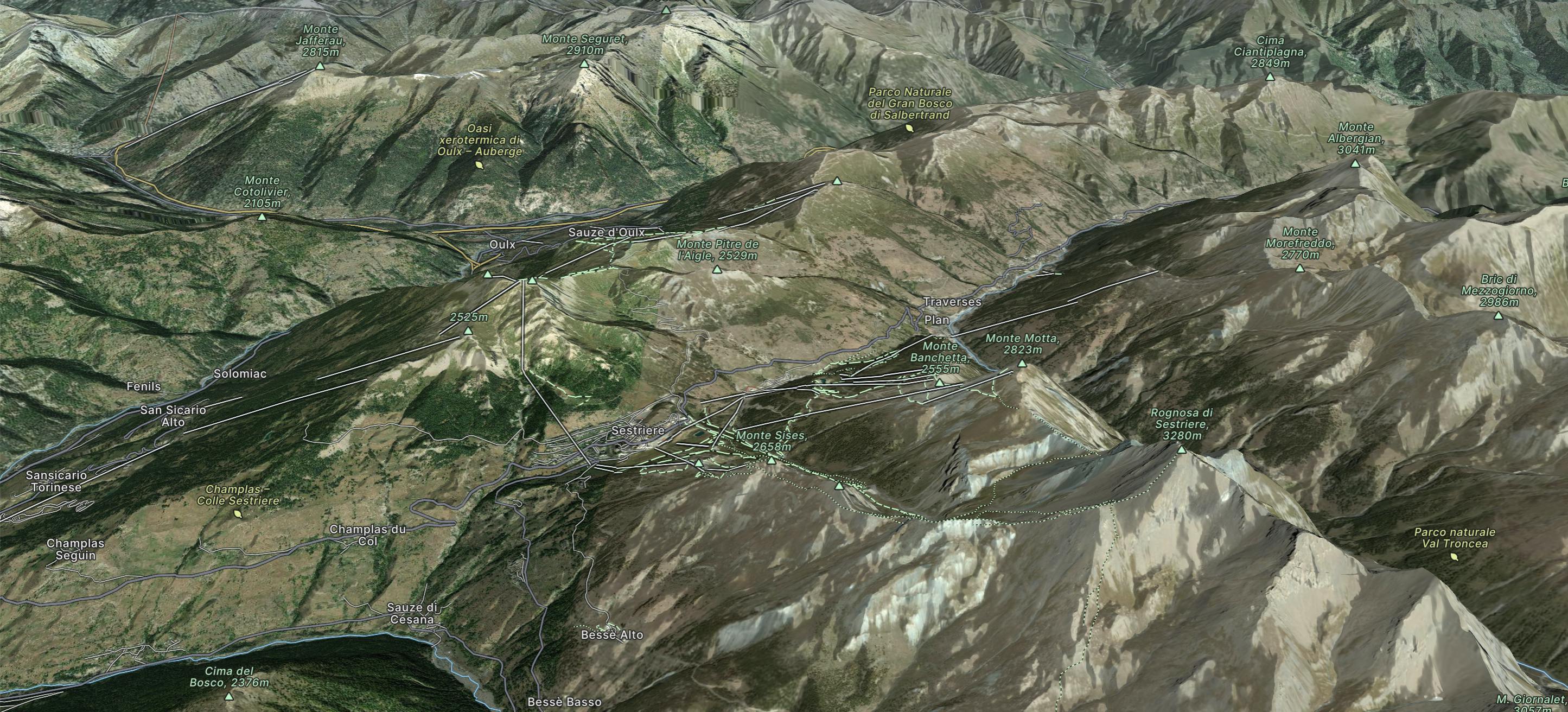
Via Lattea
Go hiking in Via Lattea with curated guides of the best hikes across the region. With over 26 3D trail maps in FATMAP, you can easily discover and navigate the best trails in Via Lattea.
No matter what your next adventure has in store, you can find a guide on FATMAP to help you plan your next epic trip.
Get a top hiking trail recommendation in Via Lattea from one of our 2 guidebooks, or get inspired by the 26 local adventures uploaded by the FATMAP community. Start exploring now!
Long distance, high altitude
Extreme Hiking
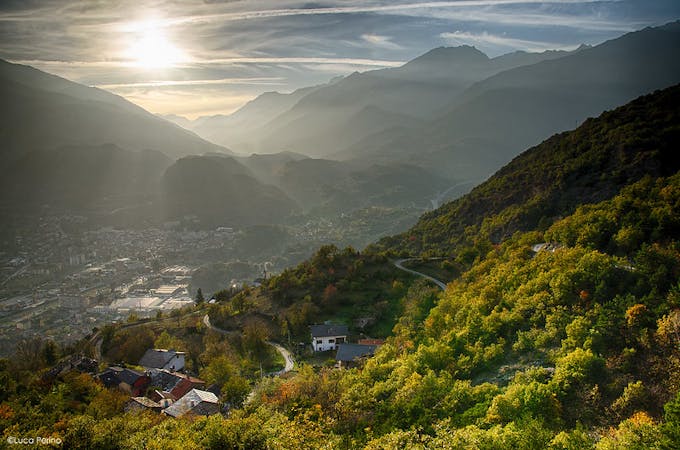
Day 20 of Grande Traversate delle Alpi (GTA), the famous long-distance hiking trail across the Italian Alps.
Moderate Hiking
5 routes · Hiking