
22 routes · Hiking · Ski Touring
Explore Telemark with curated guides of the best hiking trails, ski routes, and more. With over 27 3D trail maps in FATMAP, you can easily discover and navigate the best trails in Telemark.
No matter what your next adventure has in store, you can find a guide on FATMAP to help you plan your next epic trip.
Get a top trail recommendation in Telemark, or get inspired by the 27 local adventures uploaded by the FATMAP community. Start exploring now!
22 routes · Hiking · Ski Touring
Topptur mot Damtjønnuten
Moderate Ski Touring

Counter-clockwise round trip of the wilderness surrounding Porsgrunn and Skien, primarily on trail.
Difficult Trail Running

Lett og tørrere variant enn DNT-løypa
Moderate Hiking
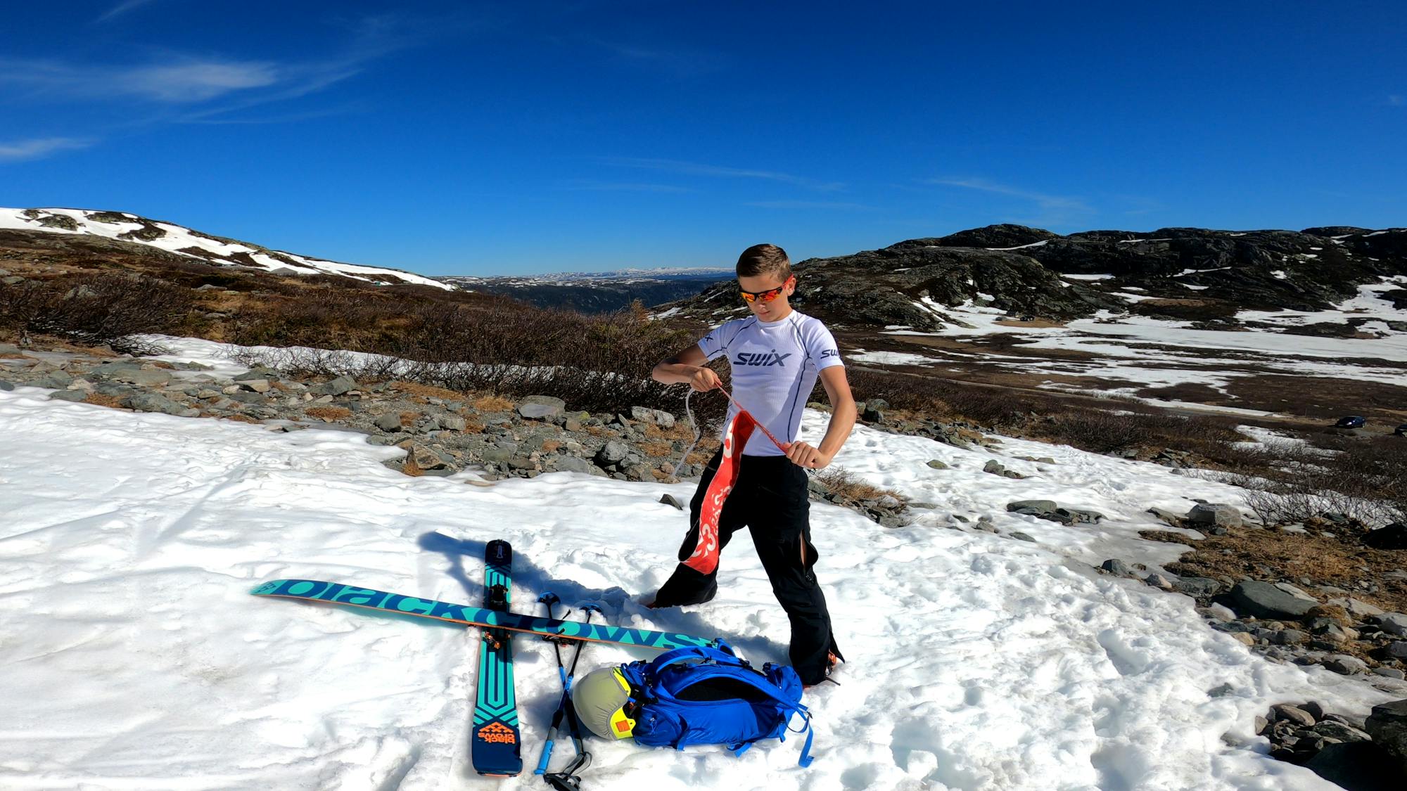
Safe skinning and mellow pow
Easy Ski Touring
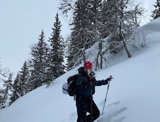
Couloirs and bootpacking
Difficult Ski Touring

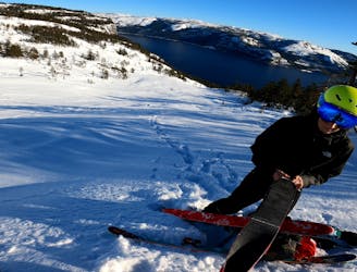
The direct route up Gaustatoppen for when the road is open to Langefønn
Moderate Ski Touring

Trailrun Hardangervidda og Jotunheimen
Difficult Trail Running

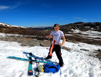
Third day of a three day (two night's camping) trip around Gaustatoppen.
Moderate Ski Touring