8.6 km away
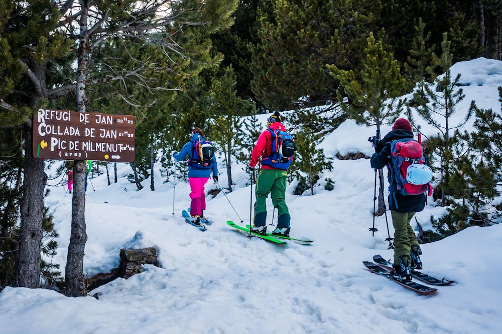
Pic del Maià to Peretol

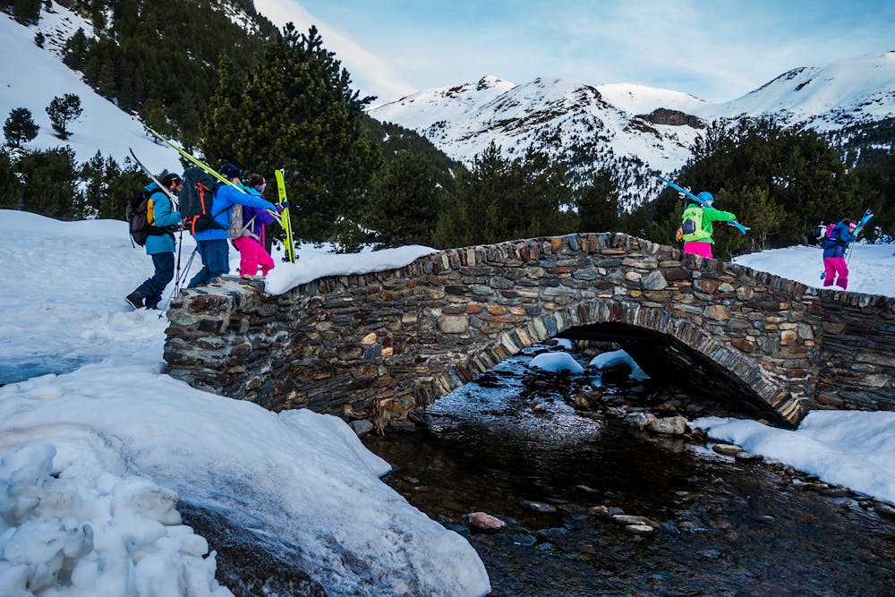
Long backcountry route for experienced riders
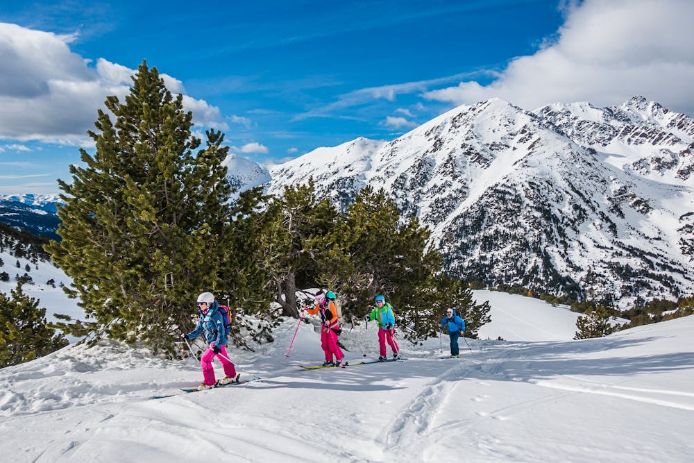
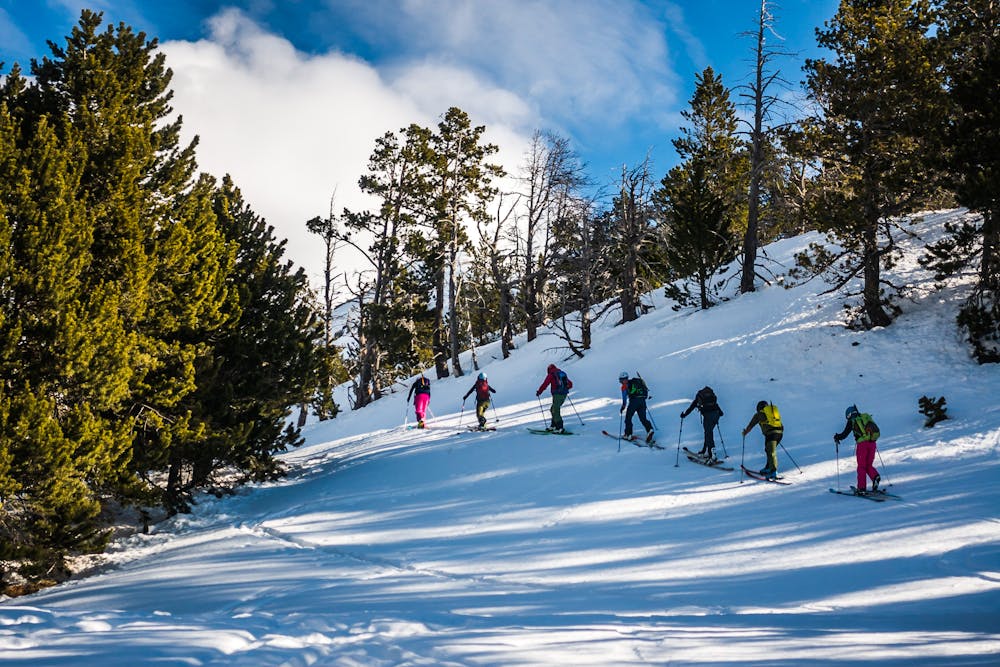
Moderate Ski Touring
- Distance
- 2.9 km
- Ascent
- 3 m
- Descent
- 602 m
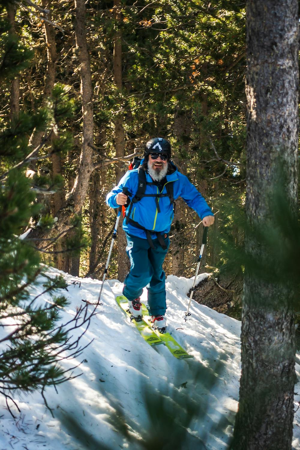
A nice hike up to a saddle with great views. Not to exposed on the way up until on the ridge and a bit of a tricky desent when your back in the woods.
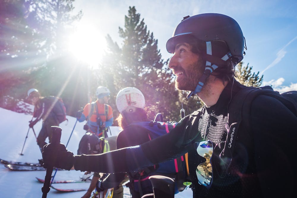
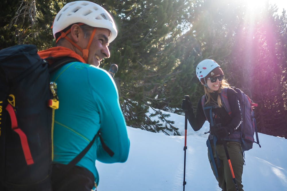
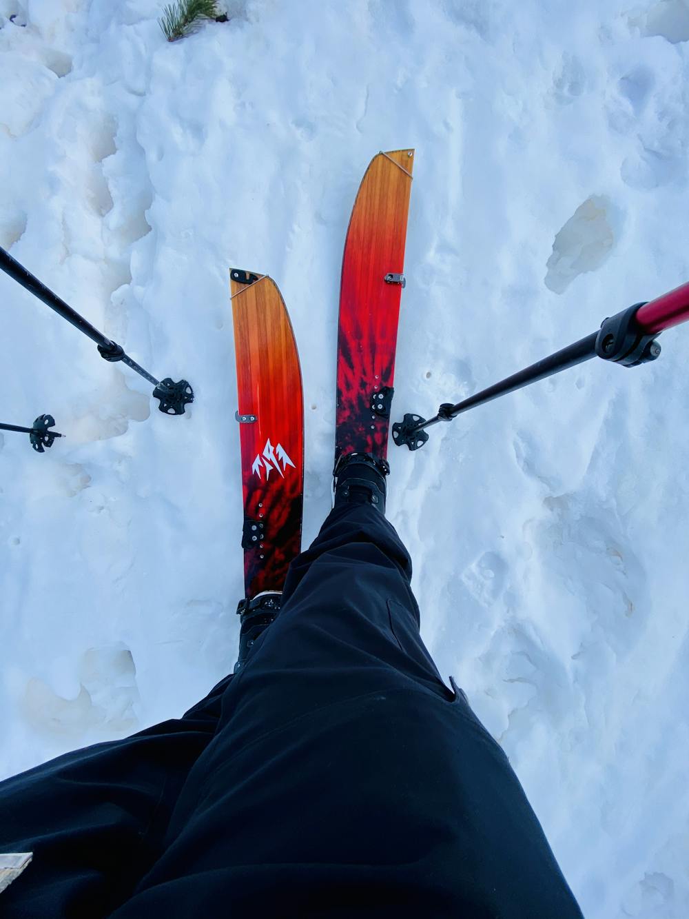
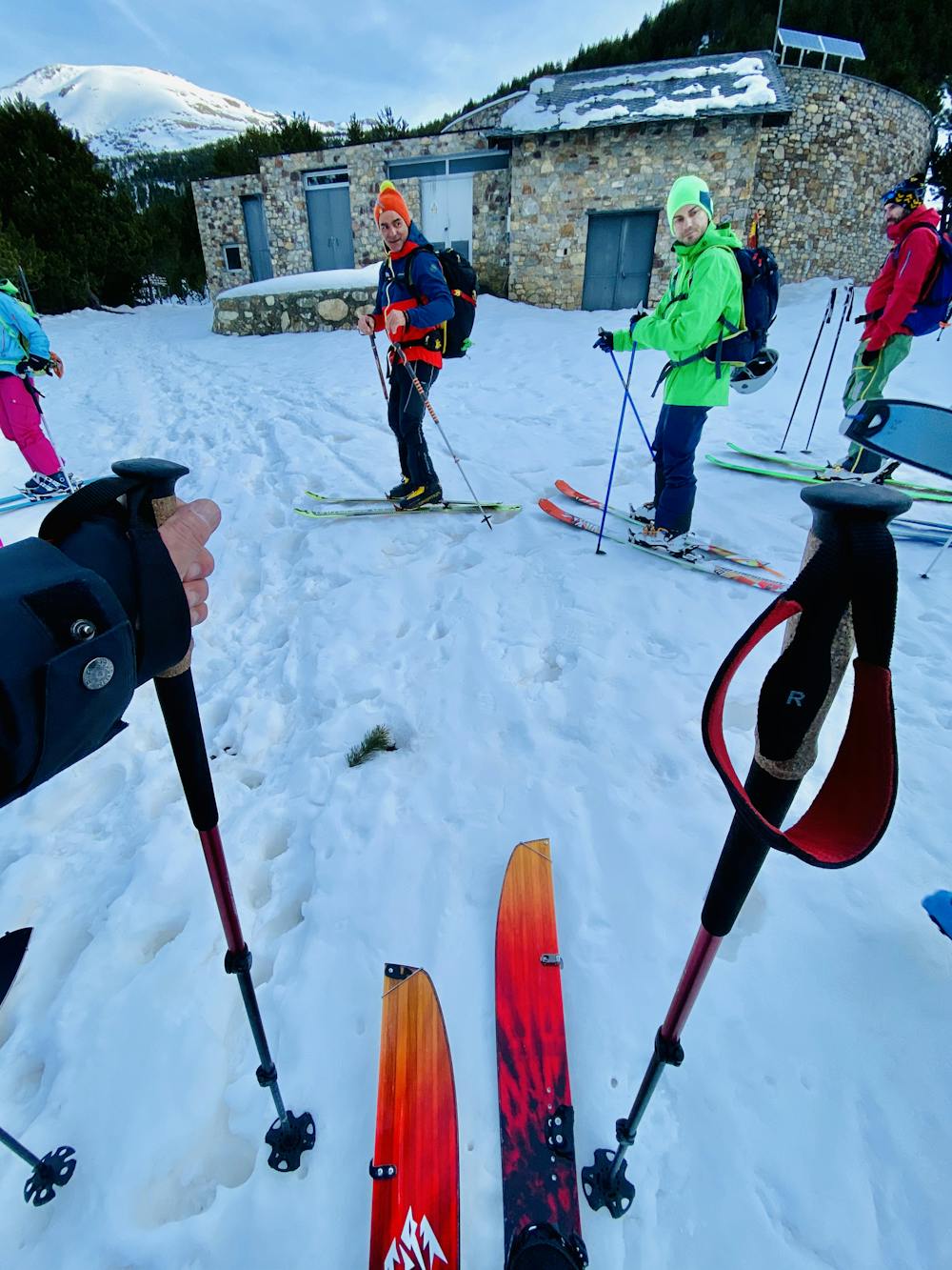
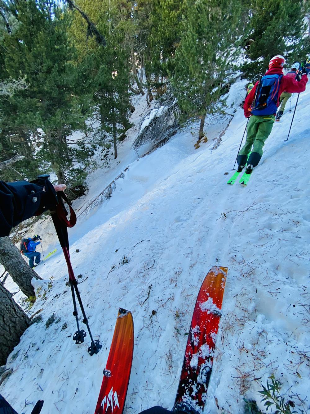
Ski Touring Moderate

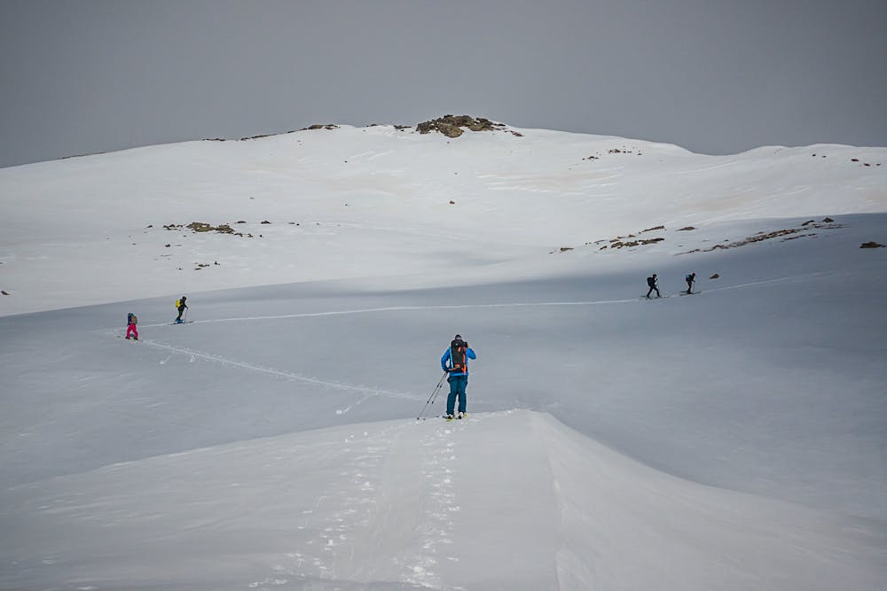
This is a popular ski touring route which is generally considered to be moderate. It's remote, it features low exposure (e1) and is typically done between January and April. From a low point of 1.9 km to the maximum altitude of 2.7 km, the route covers 8.1 km, 922 vertical metres of ascent and 926 vertical metres of descent. You'll need skins and crampons to complete it safely.
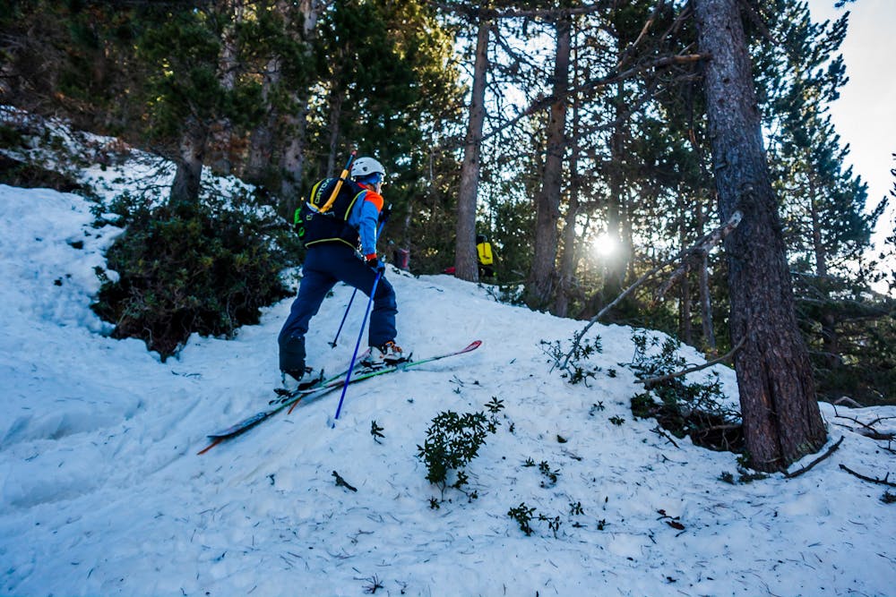
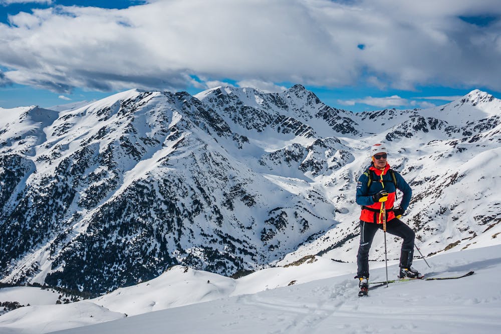
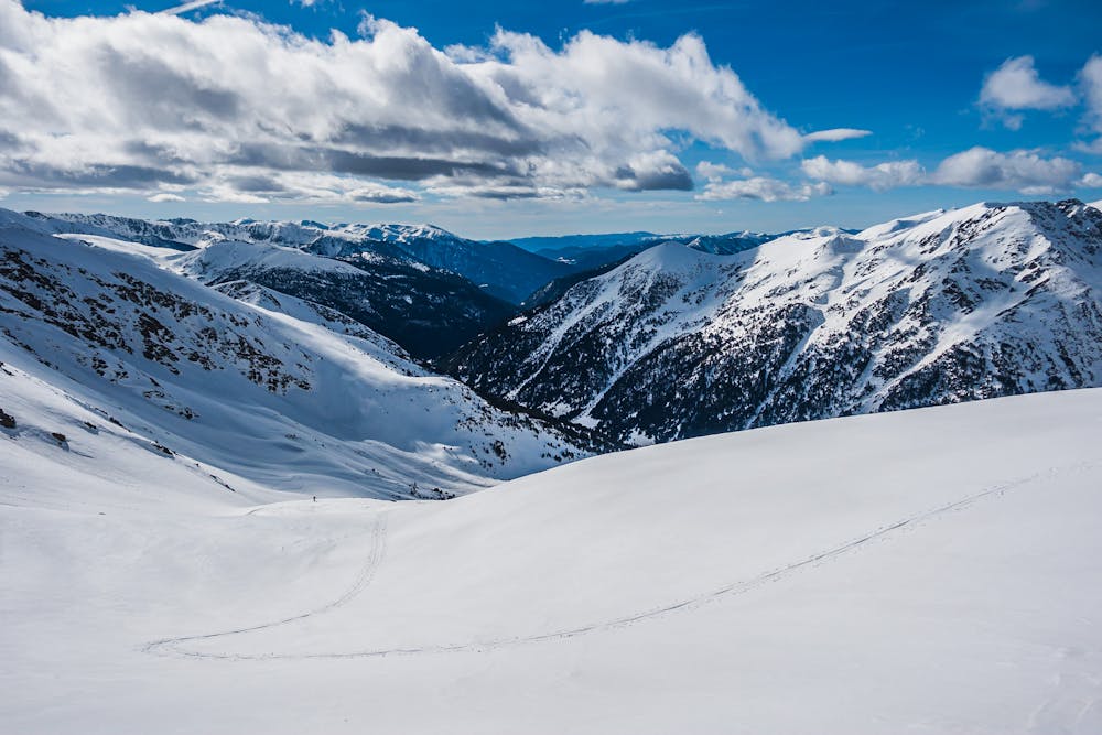
A moderate hike up to the top of the Ransol Valley
Moderate
Slopes become slightly steeper at around 25-30 degrees.

Exposure is limited to that of the slope itself. Getting hurt is still likely if the slope is steep and/or the snow is hard.

Away from help but easily accessed.
8.6 km away
Long backcountry route for experienced riders
Moderate Ski Touring