62 m away
Pic alt de Cubil north-east

Extreme freeride lines through couloirs and steep slopes
Severe Freeride Skiing
- Distance
- 1.3 km
- Ascent
- 0 m
- Descent
- 520 m
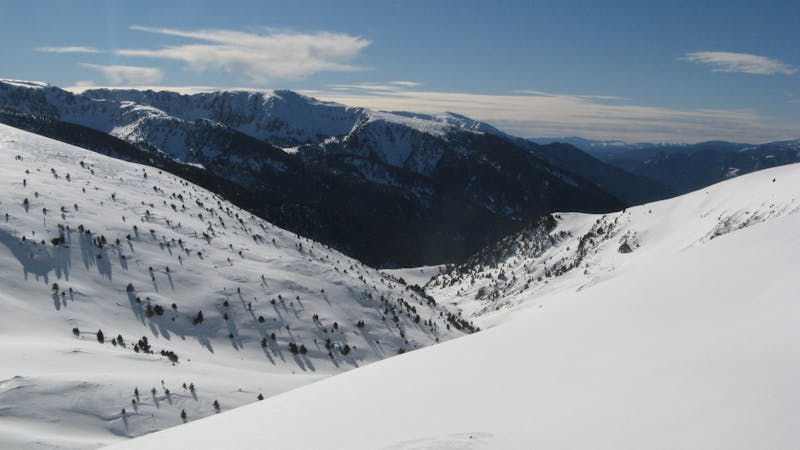
Couloir Alt del Cubil
Freeride Skiing Difficult

This is a popular freeride skiing route which is generally considered to be difficult. It's an unknown remoteness, it features unknown exposure and is typically done in an unknown time of year. From a low point of 2.3 km to the maximum altitude of 2.8 km, the route covers 2 km, 11 vertical metres of ascent and 522 vertical metres of descent.
Corredor molt estètic per la cara sud del pic alt del cubil. Atenció amb la transformació de la neu ja que el sol hi toca tot el dia. pendent constant de 35 a 45 graus.
Difficult
Serious gradient of 30-38 degrees where a real risk of slipping exists.
62 m away
Extreme freeride lines through couloirs and steep slopes
Severe Freeride Skiing
136 m away

An extreme freeride line for experienced riders
Severe Freeride Skiing
786 m away

Steep terrain and couloirs from Pic de Cubil
Severe Freeride Skiing
788 m away

Steep lines on alpine terrain
Severe Freeride Skiing
1.3 km away

An easy access off-piste area
Moderate Freeride Skiing
1.5 km away

Tree runs for advanced riders.
Moderate Freeride Skiing
2.1 km away

Backcountry route for experienced riders
Difficult Freeride Skiing
2.3 km away

An easy acces off-piste area
Moderate Freeride Skiing
2.5 km away

Fun off-piste through the woods
Easy Freeride Skiing
2.6 km away

A classic long off-piste area with easy terrain
Easy Freeride Skiing
22 routes · Freeride Skiing