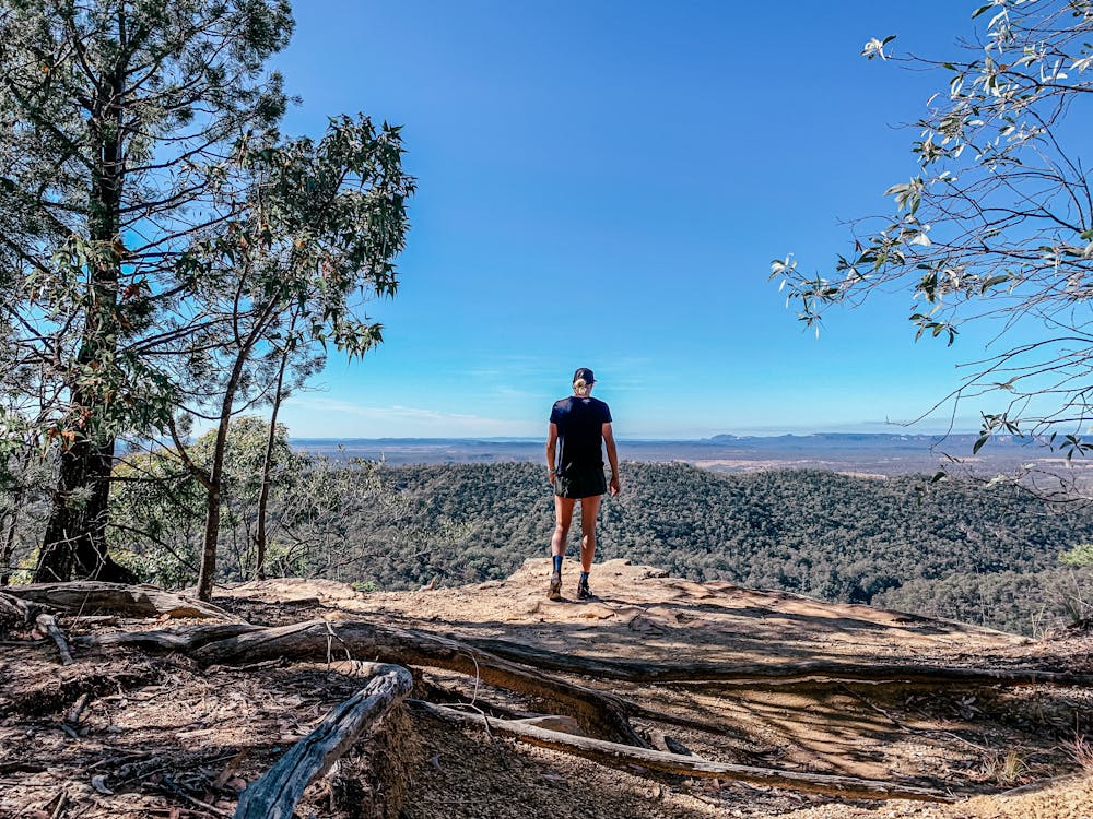
Bloolimba Bluff
Carnarvon Gorge
Hiking Moderate
- Distance
- 6.6 km
- Ascent
- 320 m
- Descent
- 320 m
- Duration
- 1-2 hrs
- Low Point
- 413 m
- High Point
- 637 m
- Gradient
- 10˚

This is a popular hiking route which is generally considered to be moderate. It's very remote, it features high exposure and is typically done in an unknown time of year. From a low point of 413 m to the maximum altitude of 637 m, the route covers 6.6 km, 320 vertical metres of ascent and 320 vertical metres of descent.
Description
Short challenging hike up to the bluff, amazing views of the gorge
Difficulty
Moderate
Hiking along trails with some uneven terrain and small hills. Small rocks and roots may be present.
High Exposure

Some trail sections have exposed ledges or steep ascents/descents where falling could cause serious injury.
Remoteness
Little chance of being seen or helped in case of an accident.
Features
- Picturesque
- Forestry or heavy vegetation