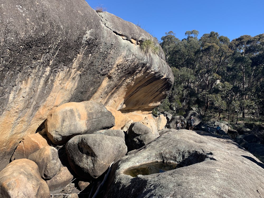
Dr Roberts Waterhole
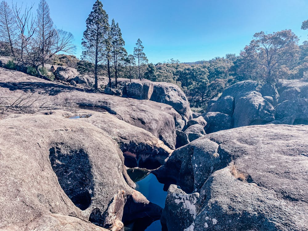
Underground creek
Hiking Easy
- Distance
- 3.5 km
- Ascent
- 48 m
- Descent
- 48 m
- Duration
- 0-1 hrs
- Low Point
- 983 m
- High Point
- 1 km
- Gradient
- 2˚

This is a popular hiking route which is generally considered to be easy. It's remote, it features medium exposure and is typically done in an unknown time of year. From a low point of 983 m to the maximum altitude of 1 km, the route covers 3.5 km, 48 vertical metres of ascent and 48 vertical metres of descent.
- •
- •
Description
Explore the underground creeks of Girraween National park
Difficulty
Easy
Walking along a well-kept trail that’s mostly flat. No obstacles are present.
Medium Exposure

The trail contains some obstacles such as outcroppings and rock which could cause injury.
Remoteness
Away from help but easily accessed.
Features
- Picturesque
- Family friendly