Pyramid Hike
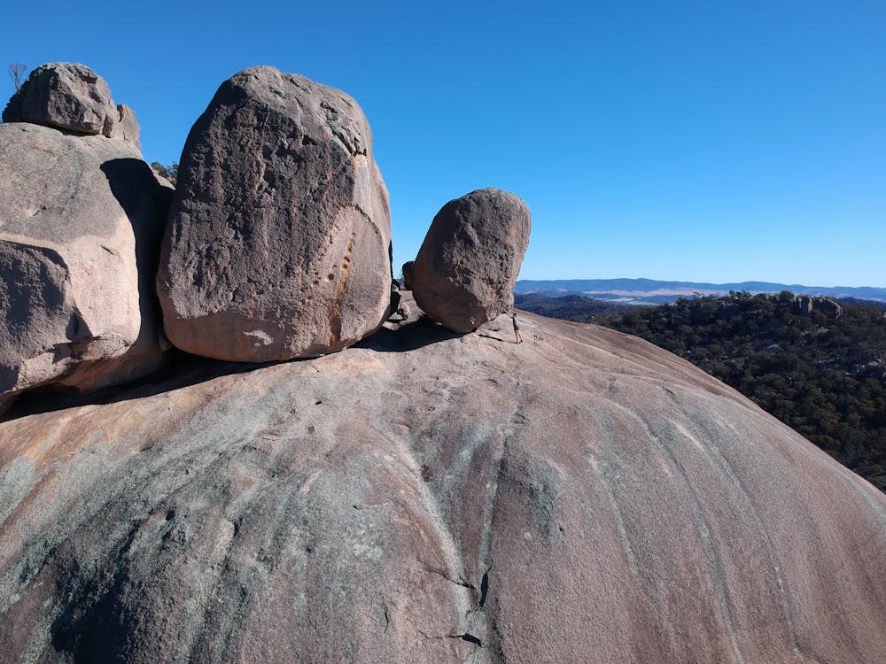
Girraween National Park Granite Boulders
Hiking Difficult
- Distance
- 4 km
- Ascent
- 218 m
- Descent
- 218 m
- Duration
- 1-2 hrs
- Low Point
- 868 m
- High Point
- 1 km
- Gradient
- 13˚

This is a popular hiking route which is generally considered to be difficult. It's remote, it features high exposure and is typically done in an unknown time of year. From a low point of 868 m to the maximum altitude of 1 km, the route covers 4 km, 218 vertical metres of ascent and 218 vertical metres of descent.
- •
- •
Description
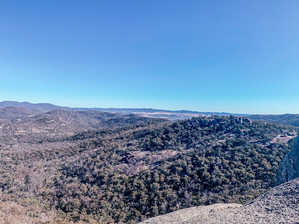
Easy 2km hike through national park, the summit track to the top pyramids is very steep.
Difficulty
Difficult
Hiking trails where obstacles such as rocks or roots are prevalent. Some obstacles can require care to step over or around. At times, the trail can be worn and eroded. The grade of the trail is generally quite steep, and can often lead to strenuous hiking.
High Exposure

Some trail sections have exposed ledges or steep ascents/descents where falling could cause serious injury.
Remoteness

Away from help but easily accessed.
Features
- Picturesque
- Summit Hike
- Family friendly
- Forestry or heavy vegetation