Pollys Loop
trail running gold coast
Trail Running Moderate
- Distance
- 12 km
- Ascent
- 725 m
- Descent
- 725 m
- Duration
- 2-3 hrs
- Low Point
- 109 m
- High Point
- 606 m
- Gradient
- 12˚

This is a popular trail running route which is generally considered to be moderate. It's remote, it features medium exposure and is typically done in an unknown time of year. From a low point of 109 m to the maximum altitude of 606 m, the route covers 12 km, 725 vertical metres of ascent and 725 vertical metres of descent.
Description
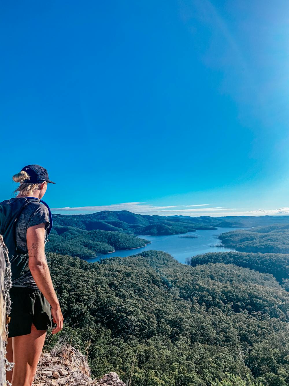
Loop hike, very cool viewpoint at Pages Pinnacle, a bit of scaling required to get there.
Difficulty
Moderate
Medium Exposure

The trail contains some obstacles such as outcroppings and rock which could cause injury.
Remoteness
Away from help but easily accessed.