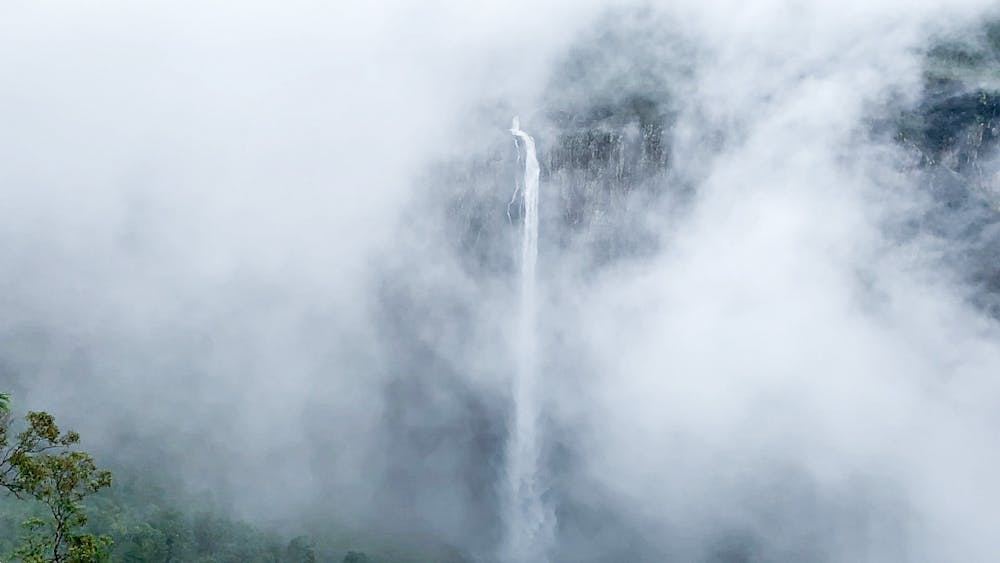
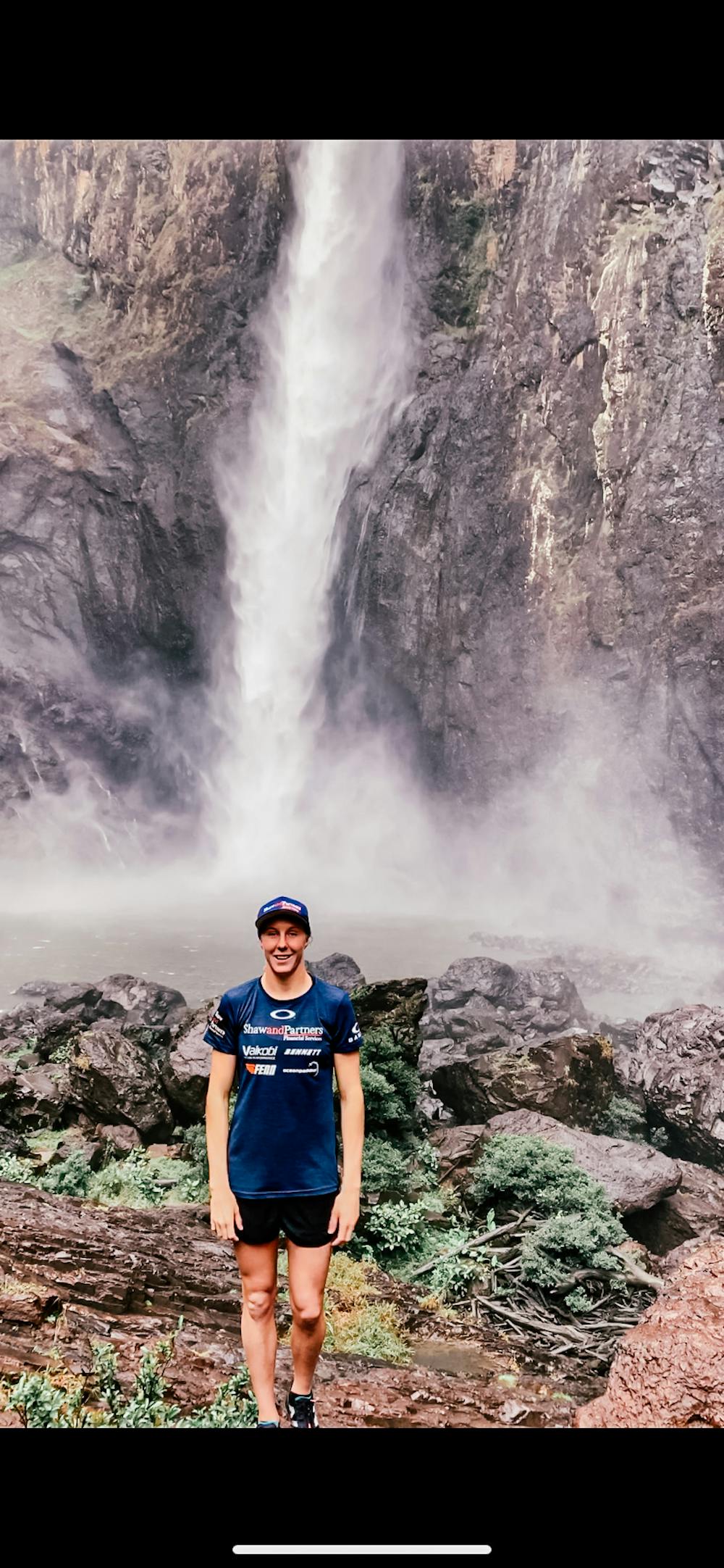
Wallaman Falls
One of the tallest waterfalls in Queensland.
Trail Running Moderate
- Distance
- 4.8 km
- Ascent
- 321 m
- Descent
- 339 m
- Duration
- 0-1 hrs
- Low Point
- 319 m
- High Point
- 577 m
- Gradient
- 11˚

This is a popular trail running route which is generally considered to be moderate. It's very remote, it features high exposure and is typically done in an unknown time of year. From a low point of 319 m to the maximum altitude of 577 m, the route covers 4.8 km, 321 vertical metres of ascent and 339 vertical metres of descent.
- •
- •
- •
Description
Walk from the view point down to the base of the waterfall, 4km return track, can be slippery, single track, dense bush
Difficulty
Moderate
High Exposure

Some trail sections have exposed ledges or steep ascents/descents where falling could cause serious injury.
Remoteness
Little chance of being seen or helped in case of an accident.