2 km away
Overland Track
An incredible and varied journey through Cradle Mountain-Lake St Clair National Park, part of Tasmania's Wilderness World Heritage Area.
Difficult Hiking
- Distance
- 78 km
- Ascent
- 2.1 km
- Descent
- 2.3 km
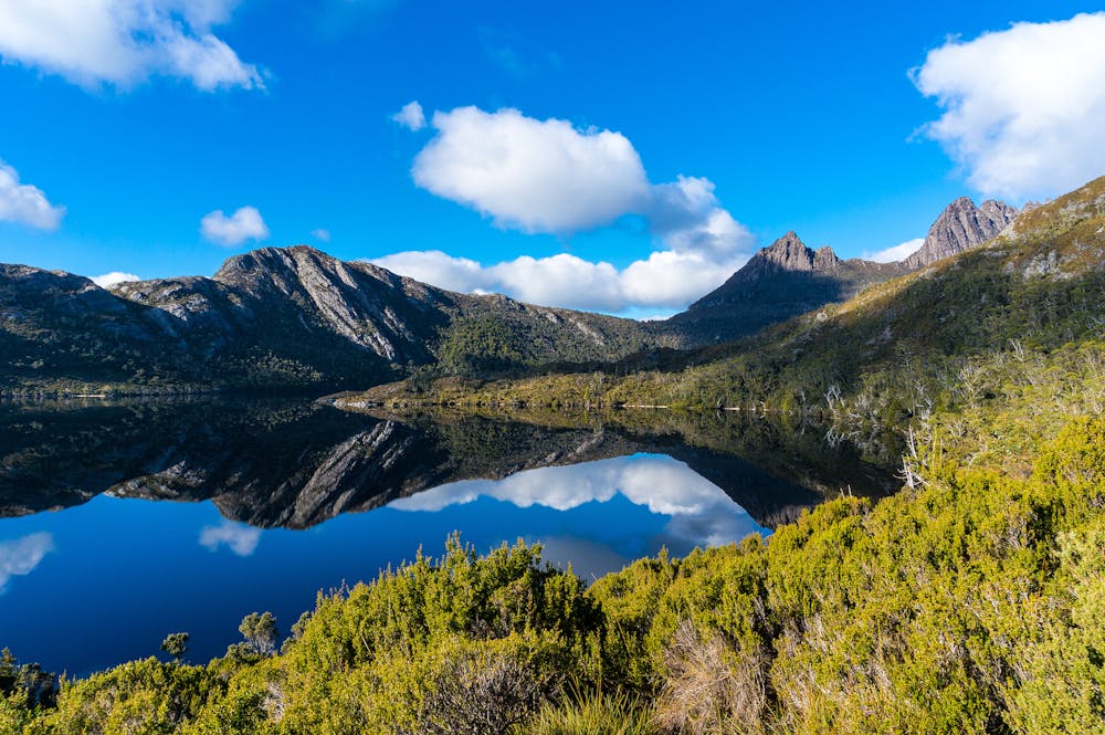
From lake to summit, it's easy to understand why the hike to the top of Tasmania's Cradle Mountain draws visitors from around the world.
Hiking Moderate
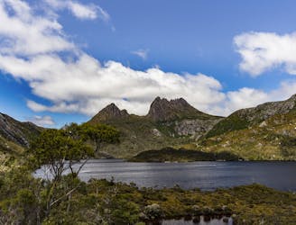
There's a reason why Tasmania's Cradle Mountain draws hikers from around the world. It could be the challenging - but rewarding - 13km / 5-hour hike to the summit (1545m). Or it could be the series of stunning views that abound on the trail, whether from the shores of Dove Lake or Lake Lilla, or from the heights of Marions Lookout, Smithies Peak or Hansons Peak.
Despite its relative popularity don't be mistaken: this is not a simple hike in the mountains. The trail to the summit is steep, requires the occasional scramble, and can be subject to rapid changes in weather conditions. As such, planning and the correct gear are essential for anyone setting out.
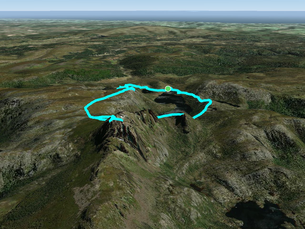
There are a number of trails to the summit of Cradle Mountain - and as such a number of ways to vary the hike. However, the most popular of them starts out at the Dove Lake Car Park and climbs up towards Wombat Peak (1105m), skirting the shores of Lake Lilla.
From here, the real climb begins. At times steep, at others requiring a level of scrambling ability, the trail follows the Overland Track as it winds its way towards the summit. Nearing Cradle Mountain itself, the Overland Track veers right, while the Cradle Mountain Summit Track climbs steeply upwards to the 1545m peak. Needless to say, the views are magnificent.
There are a number of return routes from the summit. Taking the Face Track down, you can either choose to add Hansons Peak (1180m) to your itinerary, or take a sharp hike down to the shore of Dove Lake, and follow the track back to the car park.
Whichever the preferred route, it's safe to say the rewards are worth it, on one of Tasmania's most stunning mountain hikes.
Moderate
Hiking along trails with some uneven terrain and small hills. Small rocks and roots may be present.

Away from help but easily accessed.
2 km away
An incredible and varied journey through Cradle Mountain-Lake St Clair National Park, part of Tasmania's Wilderness World Heritage Area.
Difficult Hiking

6 routes · Hiking