Cape to Cape - Northern section only
An day hike along the SW Western Australian coast from Cape Naturaliste lighthouse to Yallingup surf beach. (Distance is one way)
Hiking Easy
- Distance
- 13 km
- Ascent
- 253 m
- Descent
- 328 m
- Duration
- 3-4 hrs
- Low Point
- 0 m
- High Point
- 91 m
- Gradient
- 4˚

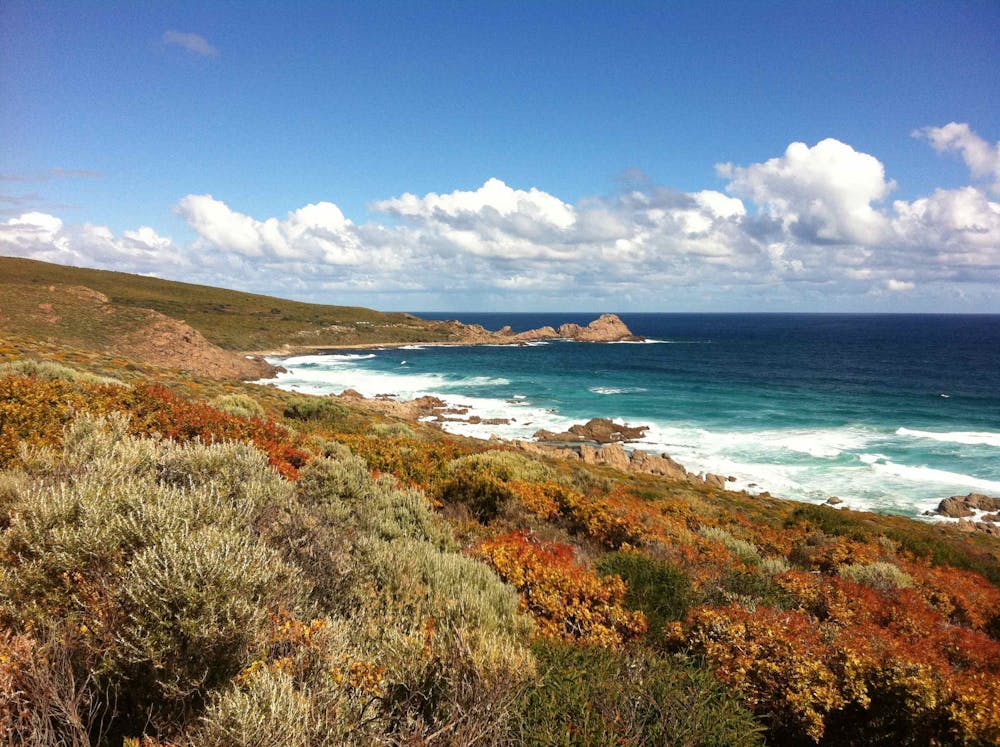
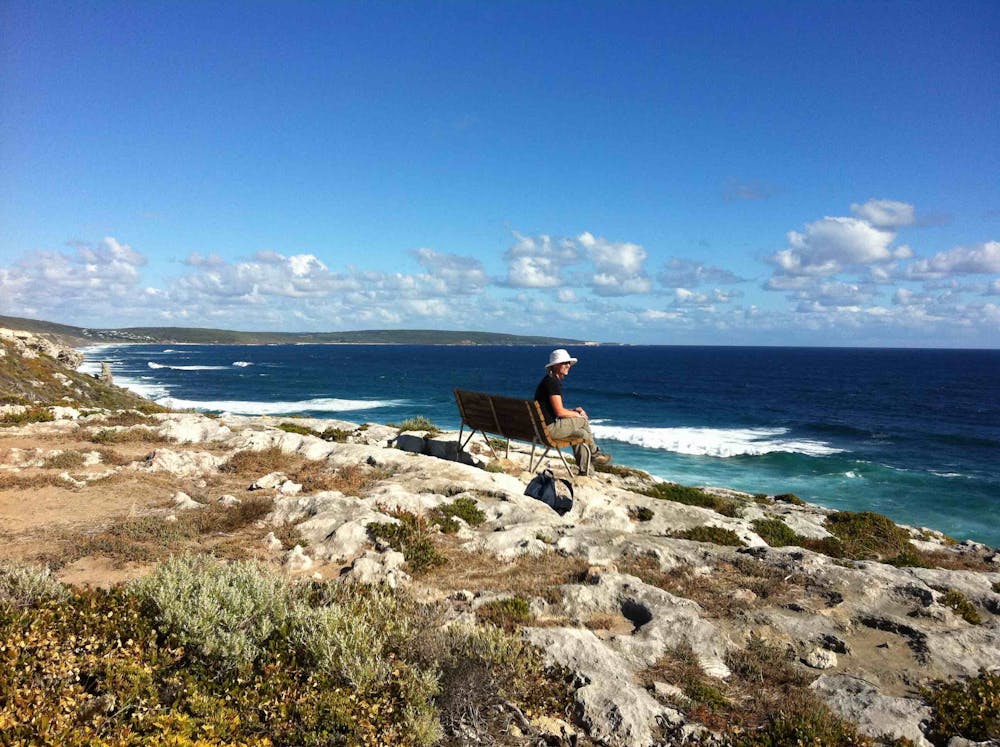
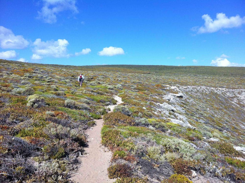
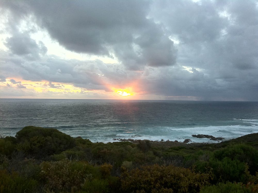
While this section is a pleasant day-hike, the entire Cape to Cape Walk Track is a much more strenuous multi-day hike and runs for 123 km along the Leeuwin-Naturaliste limestone ridge, between the lighthouses of Cape Naturaliste and Cape Leeuwin in the far south west of Western Australia. It features spectacular coastal and forest scenery, a fascinating geology of cliffs, caves, headlands and rock formations and an ever-changing display of vegetation and wildflowers. It can be very windy in the afternoons. Walking beach sections (in sometimes deep sand) can be difficult.
- •
- •
- •
- •
Difficulty
Easy
Walking along a well-kept trail that’s mostly flat. No obstacles are present.
Medium Exposure

The trail contains some obstacles such as outcroppings and rock which could cause injury.
Remoteness
Away from help but easily accessed.
Best time to visit
Features
- Picturesque
- Wild flowers
- Water features
- Forestry or heavy vegetation