FATMAP by Strava

Stadtwanderweg 7 - Laaer Berg

A nicely varied path that connects city streets, forest recreation areas, an amusement park, and countryside farms in the southern part of Vienna.

Hiking Easy

Distance
14 km
Ascent
138 m
Descent
138 m
Duration
3-4 hrs
Low Point
172 m
High Point
248 m
Gradient
Stadtwanderweg 7 - Laaer Berg Map

Beginning from the metro station Altes Landgut, this city hiking path soon reaches the edge of Laaer Wald recreation area. It is possible to shortcut through the forest on trails instead of following the city route along Urselbrunnengasse. Either way, you will come out on Laaer Wald street, where there’s a children’s amusement park and several modest eateries. This is the “Bohemian Prater,” something like a miniature version of the Wurstelprater. Spend time here with the family if you wish, or continue on your way.

Description

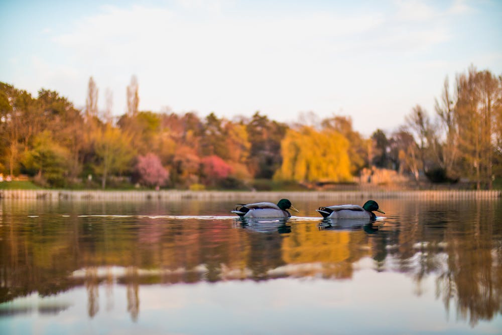
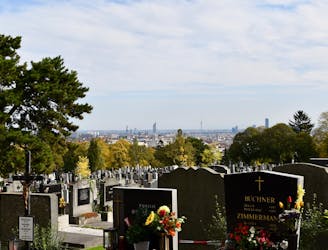
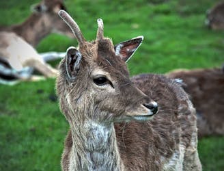
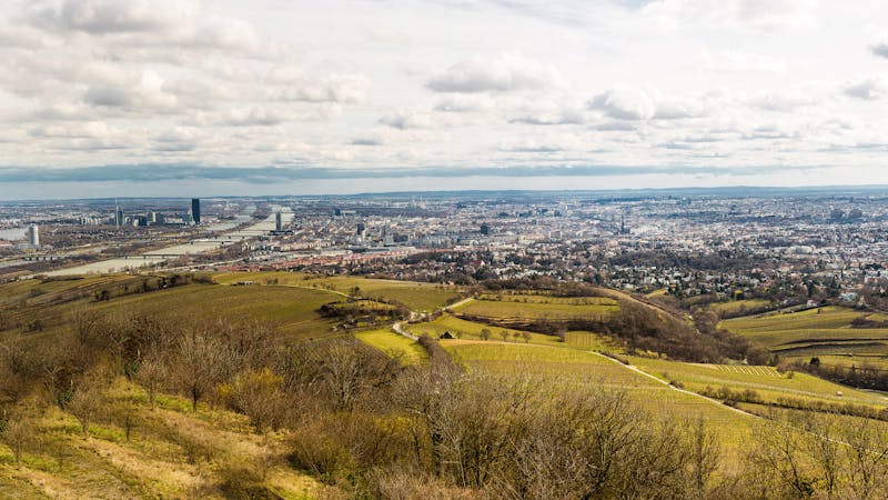
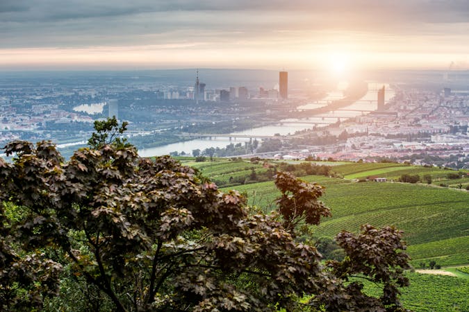
The path next crosses a mowed field on a broad hilltop, and you can see some of the city unfolding below. You’ll connect with residential streets only briefly before emerging at the edge of extensive hillside vineyards, with a nice view over southern Vienna. You’ll then pass by Kurpark Oberlaa, where you can take a side trip for nature-focused family attractions like ponds, gardens, and farm animal enclosures.

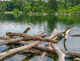
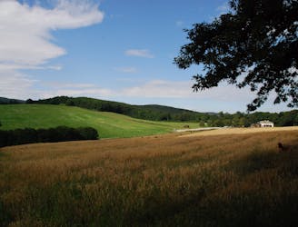
From there, the path goes farther into the countryside. You’ll walk a long stretch of dirt road with agriculture on either side. Next you’ll come to a small town along a creek, with a selection of wine taverns, guest houses, and restaurants. If you find yourself here at mealtime, you’re in luck.

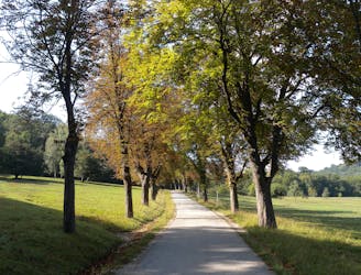
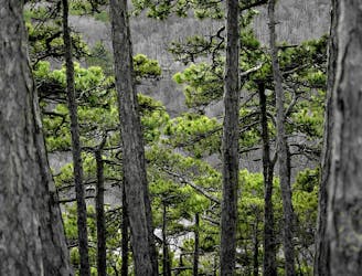
The path then trends back into the city, but remains an off-street walkway for most of the distance, making the return to urban life a gradual one. You’ll still enjoy sounds of the creek and shade of vegetation as the path winds its way back to Altes Landgut.

Sources: https://www.wien.gv.at/umwelt/wald/freizeit/wandern/wege/wanderweg7.html https://www.wien.gv.at/umwelt/wald/erholung/laaerwald.html https://www.wien.gv.at/umwelt/parks/anlagen/kurparkoberlaa.html

Difficulty

Easy

Walking along a well-kept trail that’s mostly flat. No obstacles are present.

Low Exposure

1 out of 4

The path is on completely flat land and potential injury is limited to falling over.

Remoteness

1 out of 4

Close to help in case of emergency.

Best time to visit

all year round

Features

  • Picturesque
  • Dog friendly
  • Wild flowers
  • Water features
  • Family friendly
  • Forestry or heavy vegetation

Similar routes nearby

Guidebooks in this area