8.5 km away
Schottenhof Strecke
A concise loop at the edge of the Vienna Woods, with options for leisurely or challenging riding.
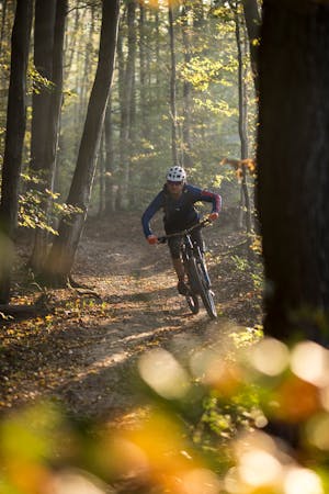
Moderate Mountain Biking
- Distance
- 11 km
- Ascent
- 272 m
- Descent
- 272 m
Remote forest and peaceful countryside, with serene nature and sublime views.
Mountain Biking Moderate

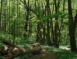
The ride begins alongside a nature park trail, then crosses a few streets to enter the Wienerwald, and goes up a quiet valley on a forest road. The climb steepens near the top of Hüttenkogel, then takes a fast and fun descent through forest and fields to a country road lined with farmhouses. The rest of the ride continues in a similar pattern, with long climbs through secluded forest followed by descents through vineyards and pasture in the valleys. You’ll find a few stops for refreshment along the way, as well as hillside meadows to pause and catch your breath while taking in the view.
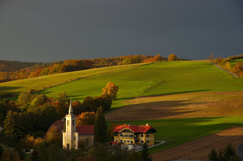
In general, this route is less popular than others in the area, not for lack of scenery or thrill but because of its distance and relative remoteness. Thus, you may enjoy stretches of track all to yourself. The surface is mostly packed dirt, gravel, or pavement and suitable for most riders. Endurance is the primary requirement.
Sources: https://www.wien.gv.at/verkehr/radfahren/mobil/mountainbike.html https://www.wienerwald.info/en/a-troppberg-strecke-i
Moderate
Mostly stable trail tread with some variability, with unavoidable obstacles 8in/20cm tall or less. Other obstacles such as rock gullies and steep sections may exist. Ideal for lower intermediate riders.

The trail contains some obstacles such as outcroppings and rock which could cause injury.
Away from help but easily accessed.
8.5 km away
A concise loop at the edge of the Vienna Woods, with options for leisurely or challenging riding.
Moderate Mountain Biking
2 routes · Mountain Biking