Amon-Klettersteig
Dachstein Salzkammergut
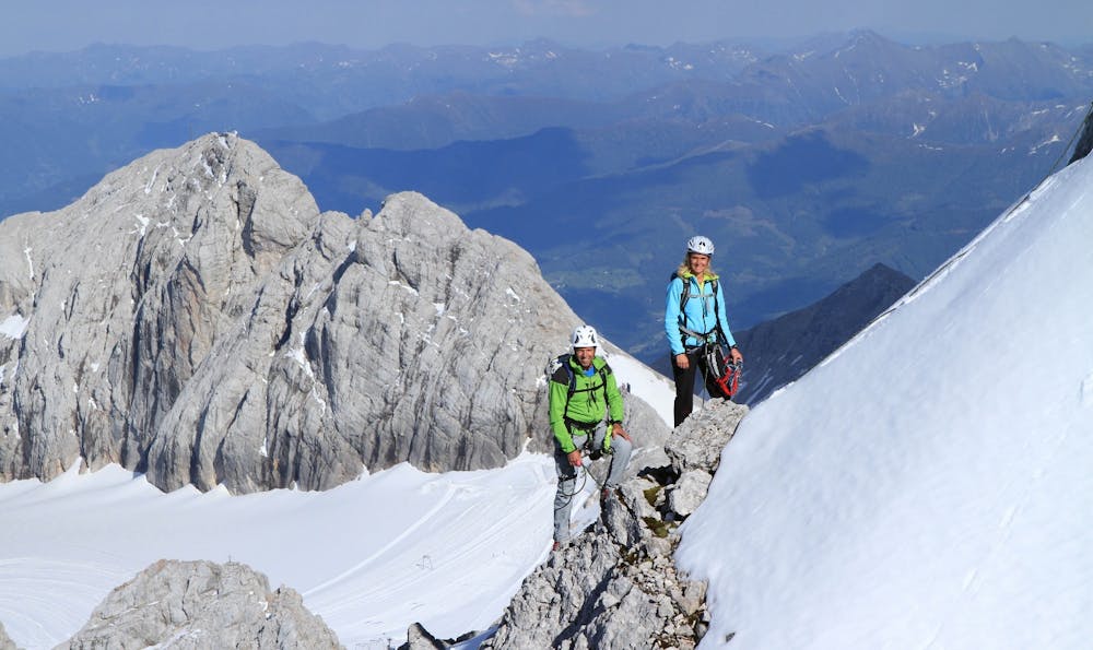
The via ferrata can only be reached via the glacier, i.e. glacier equipment is required. From the Dachstein mountain station to the Simonyscharte via the Hallstätter glacier, the entrance can be reached in approx. 45 minutes.
Alpine Climbing Difficult
- Distance
- 3 km
- Ascent
- 233 m
- Descent
- 164 m
- Low Point
- 2.6 km
- High Point
- 2.7 km
- Gradient
- 13˚

This is a popular alpine climbing route which is generally considered to be difficult. It's an unknown remoteness, it features unknown exposure and is typically done in an unknown time of year. From a low point of 2.6 km to the maximum altitude of 2.7 km, the route covers 3 km, 233 vertical metres of ascent and 164 vertical metres of descent.
Description
The Amon via ferrata, built in 2011, is the link between the Adamek and Simony huts.
Difficulty
Difficult
The beginning of truly technical terrain which might involve pitched climbing on rock and/or ice, exposed terrain and complex route finding in ascent and descent. Equivalent to AD, AD+