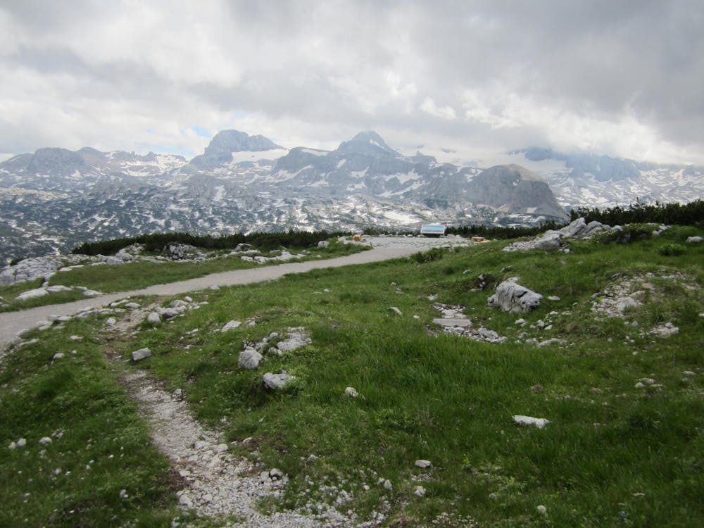
Däumelkogel Steig
Dachstein Salzkammergut
Very scenic tour, very easy and short rock climbing at Däumelkogel
Alpine Climbing Difficult
- Distance
- 4.5 km
- Ascent
- 72 m
- Descent
- 816 m
- Low Point
- 1.3 km
- High Point
- 2.1 km
- Gradient
- 21˚

From the mountain station at Krippenstein, first follow the wide hiking trail towards the Heilbronner Kreuz to S until you come to the junction of trail no. 662 down to Däumelsee and Schönbergalm. In the karst area steeply down to the beautiful Däumelsee and then in the up and down to O, directly towards the Däumelkogel, crossing. Shortly before the Däumelkogel one meets the path no.664, which one follows into the saddle at the S-side of the Kogel. There from the climb down into the S-flank of the mountain, overcoming a short rock belt into grassy terrain, through a mountain pine belt to the summit cross. Descent back to fork 664/662 and follow the partly steep climb through karst, rocks, roots, forest down to Schönbergalm with the cable car station.
Difficulty
Difficult
The beginning of truly technical terrain which might involve pitched climbing on rock and/or ice, exposed terrain and complex route finding in ascent and descent. Equivalent to AD, AD+