Hochmuth-Runde
Dachstein Salzkammergut
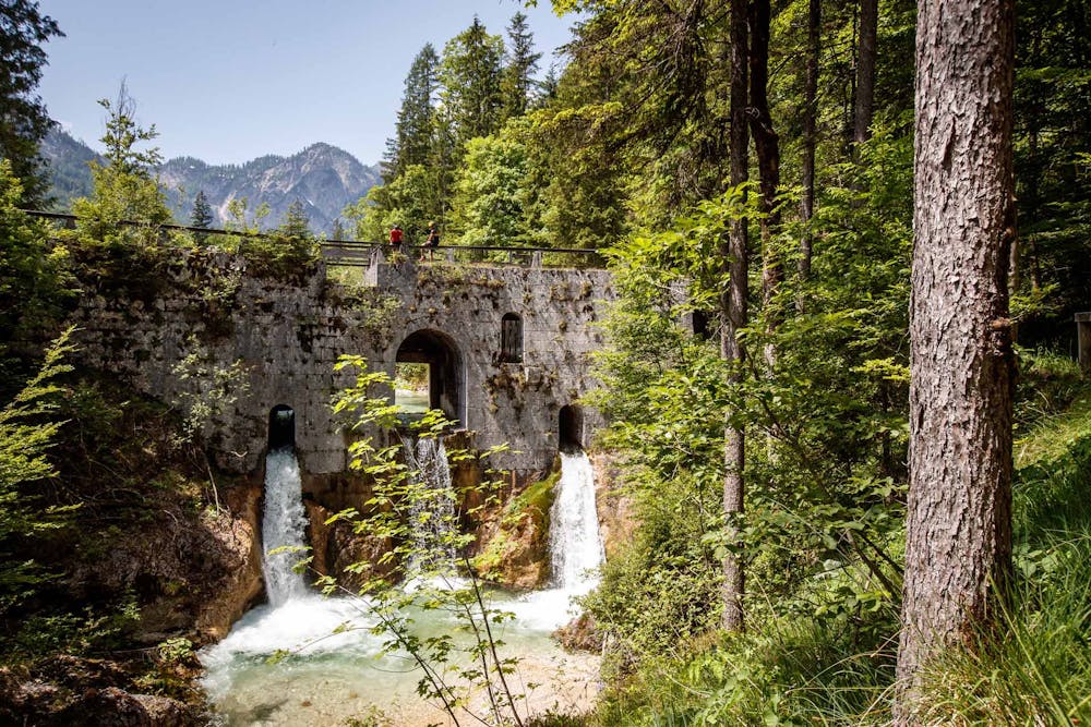
*The Hochmuthrunde is a classic in the Dachstein Salzkammergut mountain bike tour book. We mountain bikers move on large parts along the Salzkammergut Mountain Bike Trophy ( https://dachstein.salzkammergut.at/oesterreich/veranstaltung/48220006/salzkammergut-mountainbike-trophy--2019.html ). Especially because of the short 24 km the tour is highly recommended for a quick regeneration ride. The picturesque Weißenbachtal with its Brunntalalalm and the Chorinsky Klause ( https://dachstein.salzkammergut.at/oesterreich/poi/400418/chorinsky-klause.html ) offers real highlights before you can enjoy the view over Bad Goisern at Hochmuth. *
Mountain Biking Moderate
- Distance
- 23 km
- Ascent
- 779 m
- Descent
- 778 m
- Duration
- 2-3 hrs
- Low Point
- 485 m
- High Point
- 955 m
- Gradient
- 9˚

The highlight of the mountain bike tour:
- •
- •
- •
- •
Description
----------------------------------------------------------------------
Is it to experience the picturesque Weissenbach Valley on a mountain bike!
The Hochmuthrunde is a classic in the Dachstein Salzkammergut mountain bike tour book. We mountain bikers move on large parts along the Salzkammergut Mountain Bike Trophy ( https://dachstein.salzkammergut.at/oesterreich/veranstaltung/48220006/salzkammergut-mountainbike-trophy--2019.html ). Especially because of the short 24 km the tour is highly recommended for a quick regeneration ride. The picturesque Weißenbachtal with its Brunntalalalm and the Chorinsky Klause ( https://dachstein.salzkammergut.at/oesterreich/poi/400418/chorinsky-klause.html ) offers real highlights before you can enjoy the view over Bad Goisern at Hochmuth.
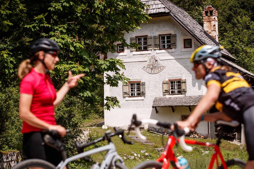
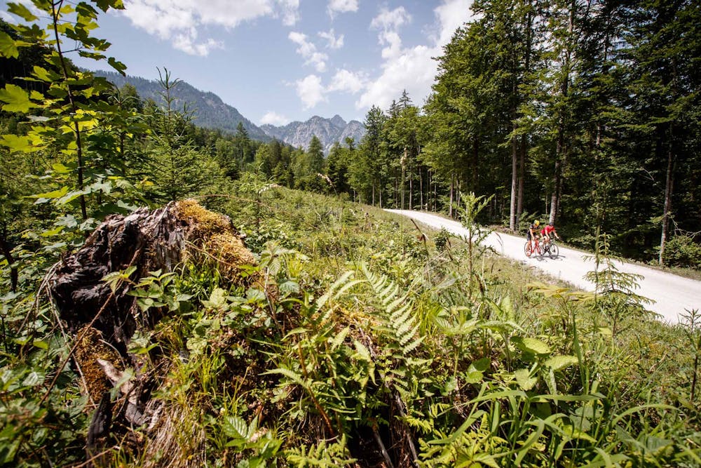
We start at the Goisern Tourist Information Centre, drive into town on asphalt and immediately turn right over the main square, turn right at the church, then over the Traunbrücke bridge, there immediately take a sharp right along Hanuschhofstraße. We then turn right in the direction of Hanuschhof, the roads will soon be narrower. We finally reach Weißenbach where we keep right along the forest road after the Chorinskyklause inn. After a slight ascent we reach the Brunntalalm. Now the actual climb of the tour begins. Now we keep half left and reach the highest point (970 HM). A beautiful forest path now leads downhill. We pass Hochmuth and then ride downhill on a relatively steep asphalt road. Downhill we always keep to the wider road, first to the right and at the next crossing to the left. At Steinach we come to a fork in the road, then left, we cross the Traun bridge and return to our starting point in Bad Goisern on the left.
Order mountain bike map for all routes in Salzkammergut ... ( http://dachstein.salzkammergut.at/kartenbestellung.html )
Mountain rescue: 140
To the 360° panorama tour through Bad Goisern ... ( https://www.dachstein-panorama.at/?s=pano57984&utmsource=tourdata&utmmedium=textlink&utmcampaign=tourdata360tour )
Difficulty
Moderate
Mostly stable trail tread with some variability, with unavoidable obstacles 8in/20cm tall or less. Other obstacles such as rock gullies and steep sections may exist. Ideal for lower intermediate riders.