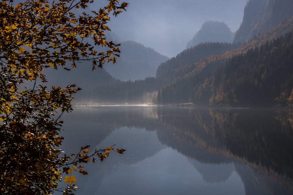
Salzkammergut Trophy Gravel Bike Training Strecke C
Dachstein Salzkammergut
More information about the new Gravelbik routes coming soon!
Road Biking Severe
- Distance
- 66 km
- Ascent
- 1.7 km
- Descent
- 1.7 km
- Duration
- 3-4 hrs
- Low Point
- 497 m
- High Point
- 1.5 km
- Gradient
- 15˚

This is a popular road biking route which is generally considered to be severe. It's an unknown remoteness, it features unknown exposure and is typically done in an unknown time of year. From a low point of 497 m to the maximum altitude of 1.5 km, the route covers 66 km, 1694 vertical metres of ascent and 1694 vertical metres of descent.
Description
More information about the new Gravelbik routes will be available soon! from about mid - end of June the routes will be officially signposted.
Difficulty
Severe