Panoramaweg
panoramic trail
Trail Running Difficult
- Distance
- 7.4 km
- Ascent
- 154 m
- Descent
- 154 m
- Duration
- 0-1 hrs
- Low Point
- 425 m
- High Point
- 521 m
- Gradient
- 5˚

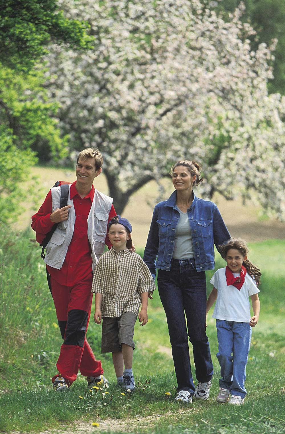
The Panoramaweg starts at the village square and leads up the Kreuzberg. On meadow paths you continue uphill along the ridge and are rewarded with a fantastic view of Kirchheim and the surrounding countryside, which in fine weather reaches as far as the mountains of the Salzkammergut. The way back leads on asphalted paths back to the starting point. A short but varied round.
Difficulty
Difficult