BergeSeen Trail Etappe 03: Steinbach am Attersee – Schwarzensee – St. Wolfgang
Guided route: Steinbach am Attersee - Weißenbach am Attersee - Burgau - Moosalm - Schwarzensee - Sattel - St. Wolfgangh
Also in Oberösterreich, Austria
Hiking Difficult
- Distance
- 21 km
- Ascent
- 769 m
- Descent
- 707 m
- Duration
- 5-6 hrs
- Low Point
- 469 m
- High Point
- 816 m
- Gradient
- 8˚

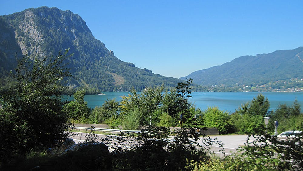
From Steinbach to Weißenbach am Attersee (2 ½ hours)From the tourist office Steinbach am Attersee, housed in the village centre, you walk south across the country road, at the first junction left uphill, then through Ernst Bitterlich Straße, finally a short distance on a forest road until you reach the beginning of the Nikoloweg.This narrow and beautifully laid out path leads almost always through a shady high forest, with only slight uphill and downhill movement. Sometimes there are beautiful views of the Attersee lake and its surrounding mountains. There is also a highly interesting forest nature trail here, and later towards Weißenbach a nature trail on brook and laqinen shoring. Shortly before reaching the village of Weißenbach you go right down to the Attersee and immediately afterwards you reach Weißenbach at the Attersee (3 hours)From Weißenbach you continue along the road and the lake shore, past the Europacamp (bathing opportunity) and a sawmill, then over a bridge to the right you turn off your own bike and footpath, which leads to the village of Burgau and then to a parking lot, where on the other side of the road the forest road "Moosstraße" starts.On this forest road you always go uphill, at a turnoff you keep right and you reach the Moosstube, a hunting hut at the beginning of the Moosalm. On the road a short distance further to the Moosalm crossroads, there you turn left and through the wide alpine pastures of the Moosalm you reach the Gschwandtnerhütte (refreshment point) and further hiking to the Schwarzensee. From the Schwarzensee to St. Wolfgang (1 ½ hours)Between the two restaurants the Sattelweg branches off to the right, which leads first uphill into the "Sattel", 807 m. Afterwards always downhill, past the snack station "Holzerbauer", until you soon see the houses in St. Wolfgang. Now it is only a few minutes walk to the center of St. Wolfgang with the famous pilgrimage church.
Difficulty
Difficult
Hiking trails where obstacles such as rocks or roots are prevalent. Some obstacles can require care to step over or around. At times, the trail can be worn and eroded. The grade of the trail is generally quite steep, and can often lead to strenuous hiking.