BergeSeen Trail Etappe 09: Strobl - Bad Ischl
Travel guidance: Strobl - Achenweg - Ghs. To the watch - Nussensee - Calvary - Bad Ischlh
Also in Oberösterreich, Austria
Hiking Moderate
- Distance
- 16 km
- Ascent
- 296 m
- Descent
- 373 m
- Duration
- 3-4 hrs
- Low Point
- 466 m
- High Point
- 655 m
- Gradient
- 7˚

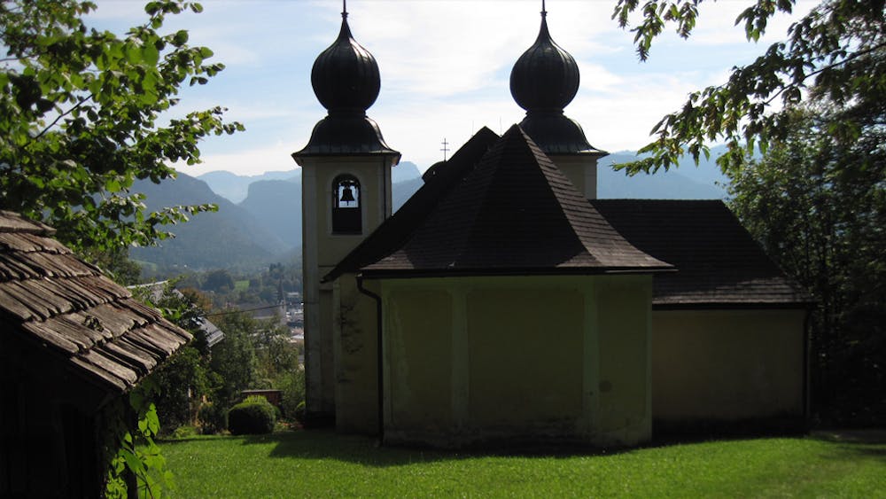
From Strobl to Lake Nussensee (2 ½ hours)From the starting point, the tourist office in Strobl (directly next to the church) you walk north along the lakeshore promenade to the outflow of Lake Wolfgang. Before the bridge with Seeklause you go down to the right over a short staircase, then on a nice hiking trail along the right bank of the Ischler Ache, under the country road, until after 1.5 kilometres you reach a farmstead, the Schlagermühle. Here again right on a wide hiking trail one kilometre further and you come to the Schwarzensee-Landesstraße. Here left over the bridge and immediately after it right on a narrow path, now left bank further to a Klaus weir, then further to a road which is crossed, where you reach the footbridge in Voglhub, over this footbridge and now again along the right bank of the river to another weir, then right on a narrow road to the inn "Zur Wacht", then over a bridge (border between Upper Austria and Salzburg) and on the road further until after 700 meters you reach the Nussen stream. Now on a forest path along the brook up to the Nussensee, from the Nussensee to Bad Ischl (2 hours)Here you have two possibilities: Either right on the beautiful path around the Nussensee to a wide hiking trail or left of the lake (shorter) on this mentioned path up to a hill, then downhill through the forest to the asphalted Lindaustraße, there briefly to the left, then right on the Auerbachweg downhill until shortly before reaching the Wolfgangsee-Bundesstraße you can turn right at a chapel into the Elisabeth-Waldweg. On this flat hiking trail, built in memory of Empress Elisabeth, you will reach the Calvary Church with its herb garden, worth seeing. Via the Kalvarienbergweg with many steps you reach the centre of Bad Ischl. The spa management is located just south of the parish church.
Difficulty
Moderate
Hiking along trails with some uneven terrain and small hills. Small rocks and roots may be present.