2.6 km away
Neue Bamberger Hut
A fabulous, long trip into a wild mountain range.
Difficult Hiking
- Distance
- 21 km
- Ascent
- 970 m
- Descent
- 969 m
A wonderful loop along a stunning ridge.
Hiking Moderate

This is a great hike for those new to the area who want to stretch their legs and get the lie of the land. Even if you know the region like the back of your hand, it's still well worth doing for the views alone.
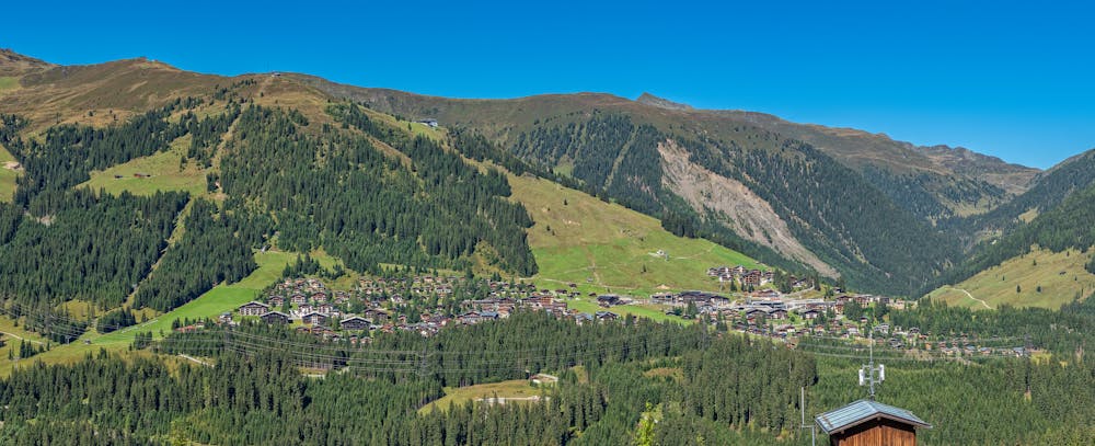
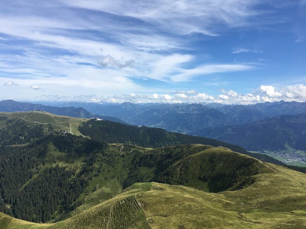
Start out by riding the Dorfbahn Königsleiten cable car to the top station. It's a scenic but - by alpine standards - relatively short trip and you disembark just below the summit of the Königsleitenspitze itself. Take in the panorama to the south across the snowy summits of the Hohe Tauern National Park and then stroll easily onto the Königsleitenspitze's summit, where no less than 3 ski lifts meet.
Head down a rough path which heads south-east off the summit and then get onto a jeep track next to the top of the Mitterleger chairlift. Follow the jeep track as it winds down through the Königsleiten ski area, under the Gipfelbahn gondola cables and on to a small hut, at which point the track ends.
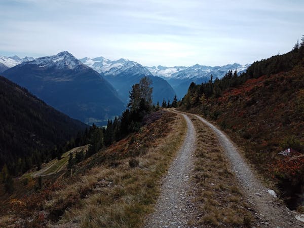
Get onto a smaller path and traverse through a sparse forest to reach a blunt rib coming down from the top of Brucheck. Follow the rib and climb onto Brucheck's summit itself. From here on out the hike is wonderful and follows a beautiful ridge - wander along it, stopping for regular photo and view-admiring pauses, up to the top of Müllachgeier and then on to the top of the Dorfbahn Königsleiten cable car - the start (and end!) point of the hike.
Moderate
Hiking along trails with some uneven terrain and small hills. Small rocks and roots may be present.

The trail contains some obstacles such as outcroppings and rock which could cause injury.

Little chance of being seen or helped in case of an accident.
2.6 km away
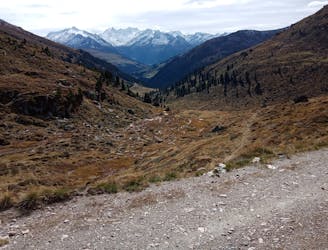
A fabulous, long trip into a wild mountain range.
Difficult Hiking
4.8 km away
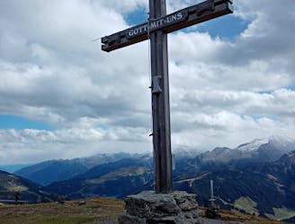
A beautifully positioned peak opposite the glaciated mountains of the Hohe Tauern National Park.
Difficult Hiking
8 km away
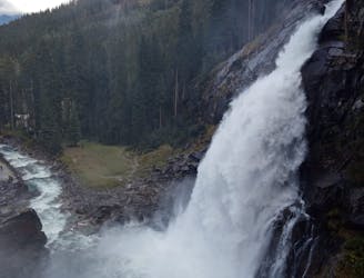
Austria's highest waterfalls have to be seen to be believed!
Moderate Hiking
5 routes · Hiking
5 routes · Mountain Biking · Hiking

25 routes · Hiking
8 routes · Hiking