


+ 61
Panoramaweg
Hiking Trail
Hard
10.88 mi
2,875 ft
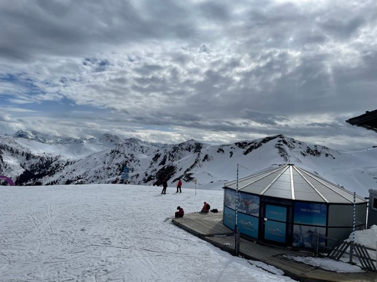
Walking with a fantastic view of the Hohe Tauern mountain range
Very scenic hike on approx. 1900 Hm around the Schwarzachergraben. Always a magnificent panorama with the Hohentauern to the south with Großglockner, Großvenediger and the Kalkalpen in the north. From the Zwölferkogel mountain station below the Hohen Penhab to the Seekar and further up to the Schönhoferwand along the mountain ridge to the Stoffennieder. Now head a bit downhill towards the Stoffalm and below the Manlitzkogel in the direction of Sommertor. Now always stay on the Hinterglemm valley side to Huberkar, to the Polz Moar Alm and then to the Seetörl. From Seetörl to the Marxtenscharte works out by slightly ascending to Schattberg. Written by FATMAP Official
Very scenic hike on approx. 1900 Hm around the Schwarzachergraben. Always a magnificent panorama with the Hohentauern to the south with Großglockner, Großvenediger and the Kalkalpen in the north. From the Zwölferkogel mountain station below the Hohen Penhab to the Seekar and further up to the Schönhoferwand along the mountain ridge to the Stoffennieder. Now head a bit downhill towards the Stoffalm and below the Manlitzkogel in the direction of Sommertor. Now always stay on the Hinterglemm valley side to Huberkar, to the Polz Moar Alm and then to the Seetörl. From Seetörl to the Marxtenscharte works out by slightly ascending to Schattberg. Written by FATMAP Official
Created By
Strava Routes

Route and Elevation
Segments
| Name | Distance | Elev. Diff. | Avg. Grade |
|---|---|---|---|
| Löhnersbachweg Climb | 0.36 mi | 161 ft | 8.3% |
| Rammernweg Climb | 0.26 mi | 217 ft | 15.6% |