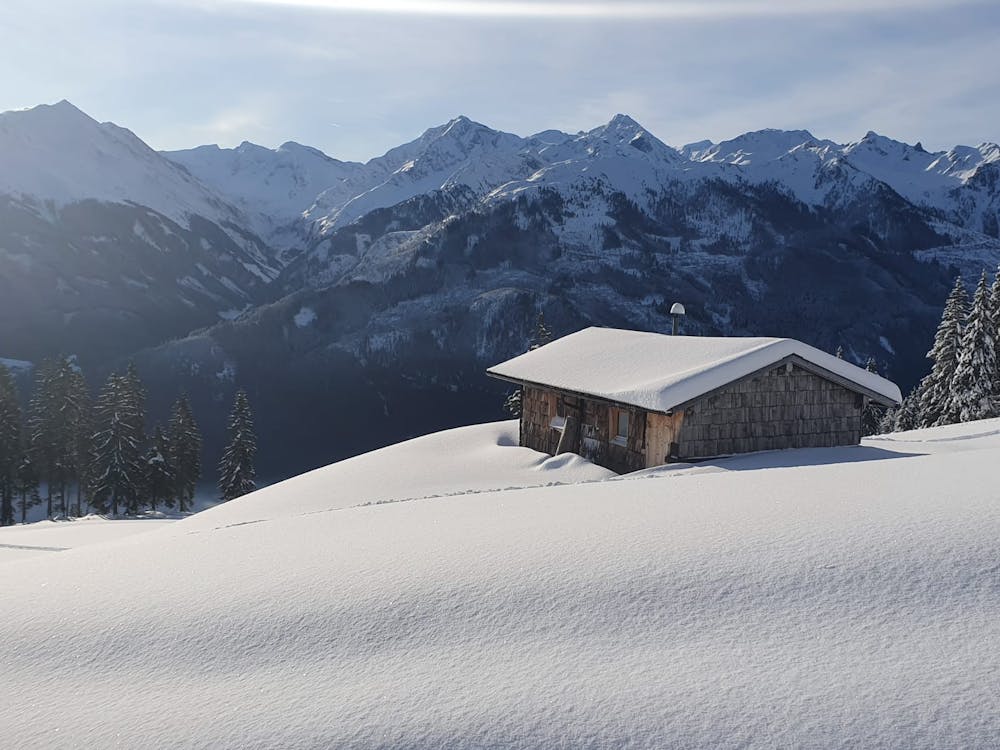
Resterhöhe
Kitzbühel
Viel begangene, leichte Modetour in Pistennähe.
Ski Touring Moderate
- Distance
- 2.6 km
- Ascent
- 672 m
- Descent
- 7 m
- Duration
- 2-3 hrs
- Low Point
- 1.2 km
- High Point
- 1.9 km
- Gradient
- 31˚

This is a popular ski touring route which is generally considered to be moderate. It's not remote, it features low exposure (e1) and is typically done between October and April. From a low point of 1.2 km to the maximum altitude of 1.9 km, the route covers 2.6 km, 672 vertical metres of ascent and 7 vertical metres of descent. It's graded 1.3 and Labande grade 2. You'll need skins to complete it safely.
Description
Über Forstwege und Almwiesen
Difficulty
Moderate
Slopes become slightly steeper at around 25-30 degrees.
Low Exposure (E1)

Exposure is limited to that of the slope itself. Getting hurt is still likely if the slope is steep and/or the snow is hard.
Remoteness
Close to help in case of emergency.
Best time to visit
Equipment required
- Skins