Raschberg Runde
Dachstein Salzkammergut
The Raschberg Runde is a panoramic mountain bike tour that starts in St. Agatha near Bad Goisern on Lake Hallstättersee and leads over 51 kilometres to many beautiful alpine pastures and vantage points in the Salzkammergut. Among the highlights of the route are the Rettenbachtal, the long ascent in the Grabenbachtal and the Ewige Wand.
Road Biking Severe
- Distance
- 52 km
- Ascent
- 2.1 km
- Descent
- 2.1 km
- Duration
- 3-4 hrs
- Low Point
- 497 m
- High Point
- 1.4 km
- Gradient
- 10˚

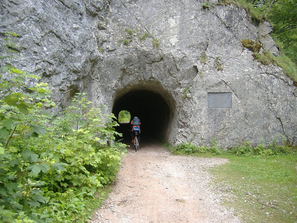
The highlight of the Raschberg Runde: The fabulous view from the Raschberghütte to the Dachstein, Gosaukamm and even to the Schafberg! On the mountain bike tour Raschberg Runde we have to earn a great view of the mountain landscape of the Salzkammergut. However, the panorama and the clear mountain air at 1400 meters above sea level is a dream and worth every effort. First the tour leads along a mountain stream to Bad Aussee. From the Blaa Alm in Altaussee you go over the Rettenbachtal to Bad Ischl. After you have mastered the ascent at the Grabenbach, you reach mandas highlight of the mountain bike tour: the Raschberghütte with its great view of glaciers, mountains and lakes. With a bit of luck, Karl Jung will also be at the hut on the weekend and spoil you with his pastries! The tour starts at the Landhotel Agathawirt in St. Agatha in Bad Goisern at the Hallstättersee, where we turn right, then left towards Pichlern and immediately right on the beautiful, not too steep forest road along the Leislingbach stream. We then come on a trail to the Waldgraben. Near the Gasthaus Saarsteinblick we come back to a forest road which leads us slightly downhill. Then turn left again uphill towards Moosberg (Altaussee salt mine). We arrive at a junction where an asphalt road begins, which leads us straight ahead downhill past the mine. At the bottom we turn left towards Blaa-Alm and we reach the valley station and the beginning of the Loser mountain road. There we keep straight on towards Blaa-Alm on a side road and reach it in approx. 1.5 km. After the Blaa-Alm we keep to the right and we come left steeply downhill on the narrow gravel path into the Rettenbachtal. (Attention to the many hikers, after the Solestube on the cross-country ski trail in front of the alp) We drive through a tunnel and turn left and come to the Rettenbachalmhütte. There turn left on the now wider gravel road out of the valley. After approx. 2 kilometres we turn sharp left into the Grabenbachtal, where the "serious" part of the tour begins, as there are now almost 800 metres of altitude to climb, some very steeply up to the Raschberg. However, you can relax in between through flatter passages. At the highest point (1385 m above sea level), where the forest road was newly built, there is a great view in good weather, which is rare in the Salzkammergut. We drive down the steep forest trail leading downhill past the Raschbergstube and arrive at a crossroads, where we briefly ascend to the right. Then turn left towards Rossmoos-alm past Rotmoos. The forest road leads after a few kilometres (cross-country skiing trail) past the Berghof Predigstuhl. After 300 meters there is a nice trail downhill straight ahead. We reach the valley in the village of Posern (beginning of asphalt) and when we reach the Marktstraße we take the main road behind the bus stop in the direction of Bad Goisern, then the road outwards to the Marktstraße (R2). We cross the road left to Reitern, then straight ahead, then keeping left we come back to St. Agatha to the starting point. "Order routes in the Salzkammergut ...." "To the 360° panorama tour through Bad Goisern ...

Difficulty
Severe