4.5 km away
Wildspitze Traverse from the Breslauer Hütte
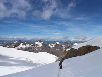
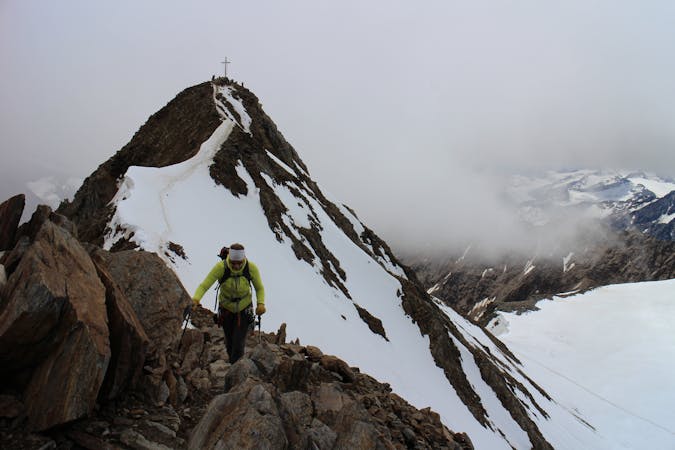
A classic high mountain traverse over the highest peak in the Tirol
Moderate Alpine Climbing
- Distance
- 11 km
- Ascent
- 910 m
- Descent
- 1.4 km
Summer normal way from hut
Alpine Climbing Moderate

This is a popular alpine climbing route which is generally considered to be moderate. It's remote, it features medium exposure and is typically done between June and September. From a low point of 2.8 km to the maximum altitude of 3.5 km, the route covers 4.4 km, 758 vertical metres of ascent and 2 vertical metres of descent. You'll need ice axe, crampons and glacier kit to complete it safely.
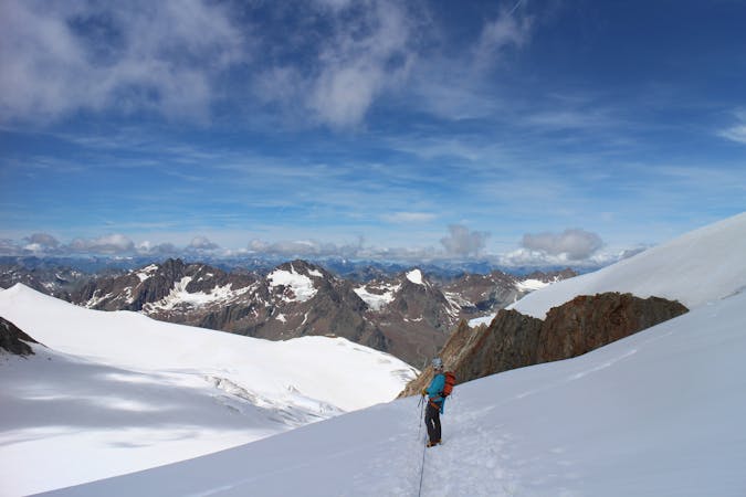
Glaciated moderate ascent
Moderate
May involve slightly more complex glacier hikes, easy but possibly long rock ridges and steep snow up to 45 degrees. Equivalent to PD, PD+

The route features some exposed and/or difficult to protect sections.
Away from help but easily accessed.
4.5 km away
A classic high mountain traverse over the highest peak in the Tirol
Moderate Alpine Climbing
9 routes · Alpine Climbing · Hiking
4 routes · Alpine Climbing · Hiking