7.6 km away
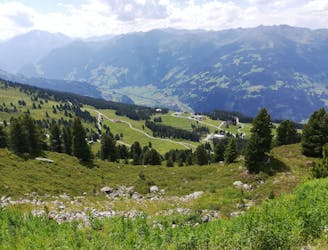
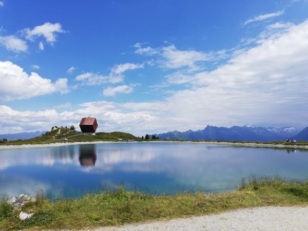
Zell Am Ziller Family Loop
The hike your kids will never want to end!
Easy Hiking
- Distance
- 2.5 km
- Ascent
- 108 m
- Descent
- 111 m
Hut to hut hike, some stages of the Inntaler Hohenweg, easy and nice
Hiking Moderate

This is a popular hiking route which is generally considered to be moderate. It's not remote, it features low exposure and is typically done between June and September. From a low point of 1.7 km to the maximum altitude of 2.8 km, the route covers 48 km, 3793 vertical metres of ascent and 3642 vertical metres of descent.
Moderately difficult, no technical issues, no ropes, minimum exposed terrain
Moderate
Hiking along trails with some uneven terrain and small hills. Small rocks and roots may be present.

The path is on completely flat land and potential injury is limited to falling over.
Close to help in case of emergency.
7.6 km away
The hike your kids will never want to end!
Easy Hiking
7.6 km away
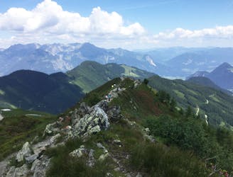
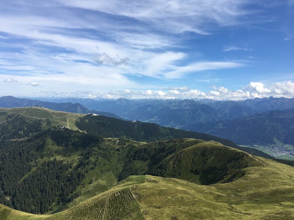
A lovely half day cruise to a well-positioned summit.
Moderate Hiking
8.3 km away
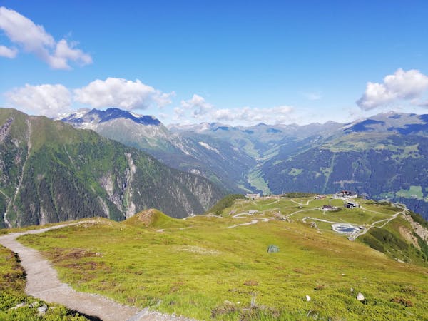
A scenic, easy hike suitable for the whole family.
Moderate Hiking
3 routes · Hiking
3 routes · Hiking

25 routes · Hiking
8 routes · Hiking