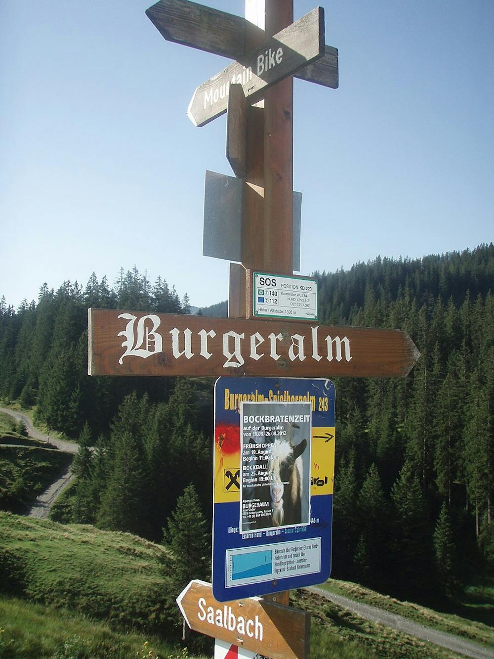
Burgeralm
A family friendly, generally flat hike to the famous cheese producing town of Burgeralm.
Hiking Moderate
- Distance
- 9.5 km
- Ascent
- 423 m
- Descent
- 423 m
- Duration
- 2-3 hrs
- Low Point
- 985 m
- High Point
- 1.3 km
- Gradient
- 7˚

Starting at the car park in Feistenau, the hike will take you in a north easterly direction towards Burgeralm. The majority of the route is generally flat with well signposted wide trails, so suitable for the whole family. You will hike through meadows of cows, these cows produce the milk for the famous cheese you will have the opportunity to try in Burgeralm, so make sure you have some spare space in your bag to bring some back! Return on the same route.
- •
- •
Difficulty
Moderate
Hiking along trails with some uneven terrain and small hills. Small rocks and roots may be present.
Best time to visit
Features
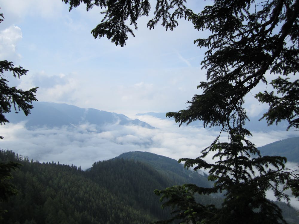
- Alpine
- Wildlife
- Family friendly
- Forestry or heavy vegetation